| Memorials | : | 1 |
| Location | : | Rural Hall, Forsyth County, USA |
| Coordinate | : | 36.2467400, -80.2864700 |
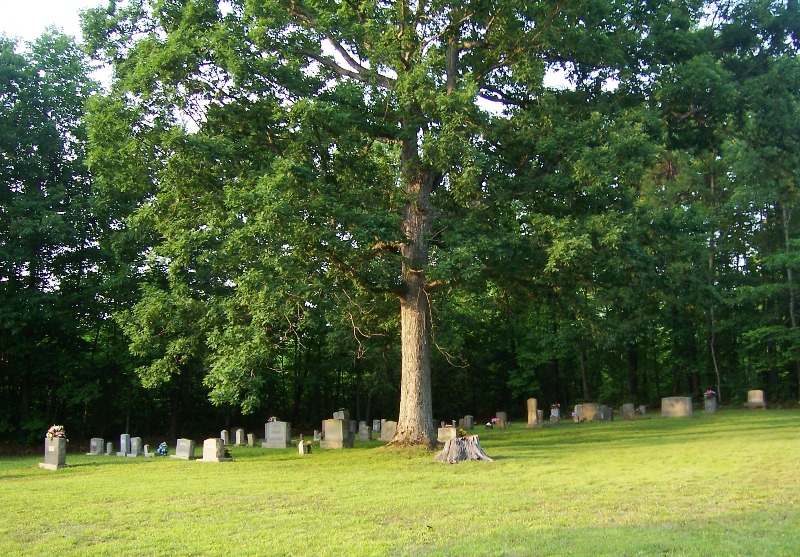
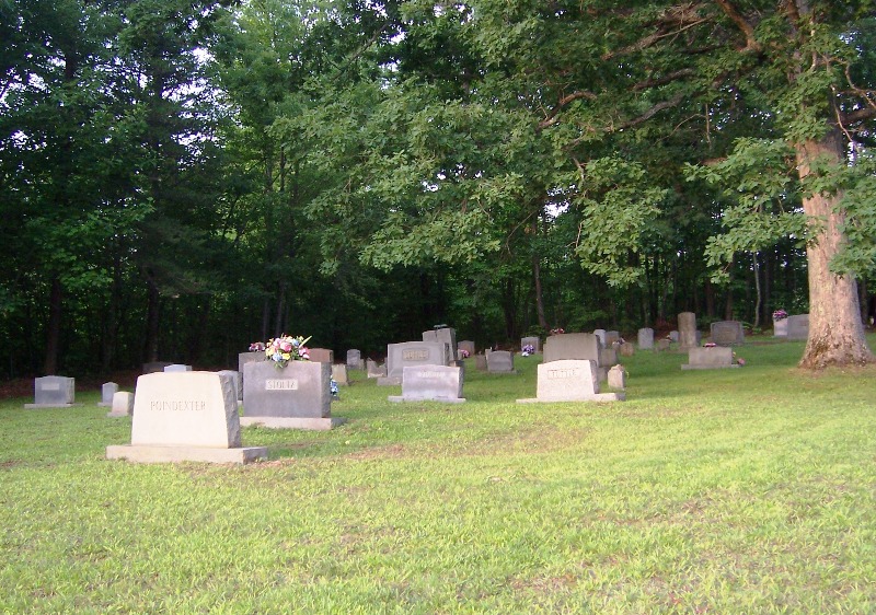
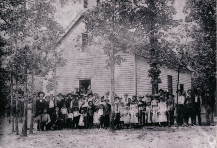
| Description | : | This cemetery is on Edwards Road at the site of the old Oak Grove United Methodist Church that was destroyed in a fire years ago. Some recent burials are in the new cemetery behind the new church on nearby Tate Road. Oak Grove United Methodist Church New Cemetery. |
frequently asked questions (FAQ):
-
Where is Oak Grove United Methodist Church Cemetery?
Oak Grove United Methodist Church Cemetery is located at Edwards Road Rural Hall, Forsyth County ,North Carolina ,USA.
-
Oak Grove United Methodist Church Cemetery cemetery's updated grave count on graveviews.com?
1 memorials
-
Where are the coordinates of the Oak Grove United Methodist Church Cemetery?
Latitude: 36.2467400
Longitude: -80.2864700
Nearby Cemetories:
1. Saint James United Methodist Church Cemetery
Rural Hall, Forsyth County, USA
Coordinate: 36.2425860, -80.2909340
2. Stewards Chapel AME Zion Cemetery
Rural Hall, Forsyth County, USA
Coordinate: 36.2445797, -80.3038917
3. Oak Grove United Methodist Church New Cemetery
Rural Hall, Forsyth County, USA
Coordinate: 36.2515900, -80.3031100
4. Nazareth Lutheran Church Cemetery
Rural Hall, Forsyth County, USA
Coordinate: 36.2372150, -80.3012400
5. Rural Hall Memorial Park
Rural Hall, Forsyth County, USA
Coordinate: 36.2367960, -80.3032720
6. Griffin Cemetery
Rural Hall, Forsyth County, USA
Coordinate: 36.2341995, -80.2675018
7. Griffin-Davis
Stokes County, USA
Coordinate: 36.2651760, -80.2767130
8. Crestview Memorial Park
Rural Hall, Forsyth County, USA
Coordinate: 36.2215260, -80.2897720
9. Bannertown Baptist Church Cemetery
Forsyth County, USA
Coordinate: 36.2533460, -80.2526970
10. Flynt Family Cemetery
Rural Hall, Forsyth County, USA
Coordinate: 36.2182999, -80.2869034
11. Stoltz Family Cemetery
Forsyth County, USA
Coordinate: 36.2191930, -80.2762630
12. Carmichael Cemetery
Rural Hall, Forsyth County, USA
Coordinate: 36.2235985, -80.2602997
13. Helsabeck-Priddy Cemetery
Stokes County, USA
Coordinate: 36.2607600, -80.3240700
14. Westmoreland Cemetery
Forsyth County, USA
Coordinate: 36.2531380, -80.2447150
15. Banner Cemetery
Forsyth County, USA
Coordinate: 36.2317009, -80.2472000
16. Sullivan Cemetery
Forsyth County, USA
Coordinate: 36.2270910, -80.2494780
17. Corinth Church of Christ Cemetery
Germanton, Stokes County, USA
Coordinate: 36.2756140, -80.2556930
18. Stoltz Cemetery
Forsyth County, USA
Coordinate: 36.2107620, -80.2690960
19. Frye-Tuttle-Westmoreland Cemetery
Germanton, Stokes County, USA
Coordinate: 36.2628680, -80.2414370
20. Jefferson Christian Church Cemetery
Rural Hall, Forsyth County, USA
Coordinate: 36.2406883, -80.3355408
21. Germanton Baptist Church Cemetery
Germanton, Stokes County, USA
Coordinate: 36.2591260, -80.2359730
22. Antioch United Methodist Church Cemetery
Rural Hall, Forsyth County, USA
Coordinate: 36.2481440, -80.3410010
23. Riddle-Golding-Bitting
Germanton, Stokes County, USA
Coordinate: 36.2617836, -80.2337341
24. Germanton United Methodist Church Cemetery
Germanton, Stokes County, USA
Coordinate: 36.2600600, -80.2329220


