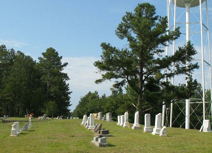
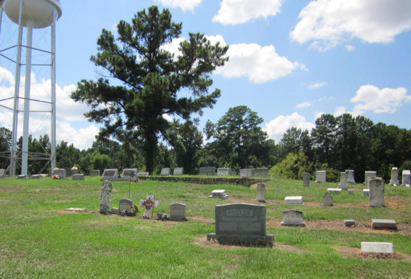
| Memorials | : | 0 |
| Location | : | Langford, Rankin County, USA |
| Coordinate | : | 32.3486061, -89.9718170 |
| Description | : | Located about 1 mile south of Oakdale Baptist Church which is located on east side of Highway 471. It is about 1 1/4 mile south of the Highway 471 and Vine Street to the West and Baker Lane to the right intersection and also about 3 miles south of where Highway 25 crosses Highway 471. |
frequently asked questions (FAQ):
-
Where is Oakdale Baptist Church Cemetery?
Oakdale Baptist Church Cemetery is located at Langford, Rankin County ,Mississippi ,USA.
-
Oakdale Baptist Church Cemetery cemetery's updated grave count on graveviews.com?
0 memorials
-
Where are the coordinates of the Oakdale Baptist Church Cemetery?
Latitude: 32.3486061
Longitude: -89.9718170
Nearby Cemetories:
1. True Vine Cemetery
Rankin County, USA
Coordinate: 32.3568993, -89.9728012
2. Lakeland Place Garden Park Cemetery
Brandon, Rankin County, USA
Coordinate: 32.3685000, -89.9843800
3. Whittington Cemetery
Rankin County, USA
Coordinate: 32.3650017, -90.0064011
4. Pilgrim Rest Cemetery
Rankin, Rankin County, USA
Coordinate: 32.3130989, -89.9514008
5. Union Cemetery
Luckney, Rankin County, USA
Coordinate: 32.3647003, -90.0177994
6. Andrew Chapel Cemetery
Rankin, Rankin County, USA
Coordinate: 32.3249440, -89.9282590
7. Evergreen Cemetery
Brandon, Rankin County, USA
Coordinate: 32.3177986, -89.9278030
8. Mount Olive Cemetery
Flowood, Rankin County, USA
Coordinate: 32.3567009, -90.0327988
9. Lewis Cemetery
Luckney, Rankin County, USA
Coordinate: 32.3781013, -90.0317001
10. Saint Peter's By-the-Lake Episcopal Church Cemeter
Rankin County, USA
Coordinate: 32.3785130, -90.0347470
11. Saint Hill Cemetery
Rankin, Rankin County, USA
Coordinate: 32.3017006, -89.9250031
12. Fannin Missionary Baptist Church Cemetery
Rankin County, USA
Coordinate: 32.4129110, -89.9577320
13. Greater New Truelight Baptist Cemetery
Rankin County, USA
Coordinate: 32.4143982, -89.9744034
14. Shady Grove Cemetery
Fannin, Rankin County, USA
Coordinate: 32.4146996, -89.9744034
15. Fannin Cemetery
Fannin, Rankin County, USA
Coordinate: 32.4141998, -89.9514008
16. Russell Cemetery
Flowood, Rankin County, USA
Coordinate: 32.3376040, -90.0521960
17. Fannin Baptist Cemetery
Fannin, Rankin County, USA
Coordinate: 32.4163300, -89.9570100
18. Russell Cemetery
Flowood, Rankin County, USA
Coordinate: 32.3375015, -90.0532990
19. Light of Liberty Cemetery
Brandon, Rankin County, USA
Coordinate: 32.2811012, -89.9944000
20. True Light Cemetery
Rankin County, USA
Coordinate: 32.4075012, -90.0186005
21. Brandon Cemetery
Brandon, Rankin County, USA
Coordinate: 32.2756004, -89.9925003
22. Fannin Methodist Church Cemetery
Fannin, Rankin County, USA
Coordinate: 32.4219000, -89.9520800
23. McLaurin Cemetery
Rankin County, USA
Coordinate: 32.4035988, -89.9047012
24. Bowman Memorial Cemetery
Pelahatchie, Rankin County, USA
Coordinate: 32.3778880, -89.8770240


