| Memorials | : | 825 |
| Location | : | Od, Herrljunga kommun, Sweden |
| Coordinate | : | 57.9432060, 13.1874130 |
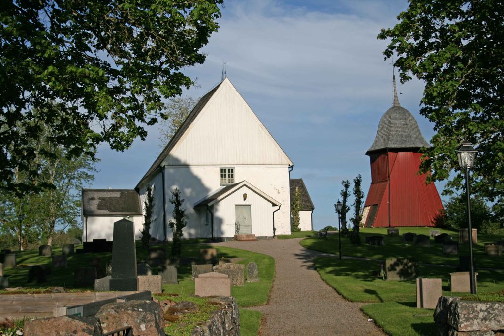
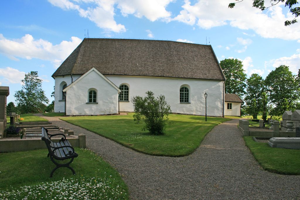
| Description | : | NOTE: Texts and images are copyrighted, unless explicitly stated that an image is in the public domain. Use for commercial purposes is prohibited. They are free for use for personal, non-profit purposes, as long as I am credited as the author (please check my profile for more information: contributor #46849056). Located in Herrljunga Township, about 9 Km southeast of the town of Annelund and just off highway 182, the Od Church Cemetery is a small graveyard surrounding Od Church (Od Kyrka) and now belongs to the Skölvene Parish. The church was originally built in stone in 1140 and has been lovingly maintained... Read More |
frequently asked questions (FAQ):
-
Where is Od Church Cemetery?
Od Church Cemetery is located at Od, Herrljunga kommun ,Västra Götalands län , 524 96Sweden.
-
Od Church Cemetery cemetery's updated grave count on graveviews.com?
794 memorials
-
Where are the coordinates of the Od Church Cemetery?
Latitude: 57.9432060
Longitude: 13.1874130
Nearby Cemetories:
1. Alboga Church Cemetery
Alboga, Herrljunga kommun, Sweden
Coordinate: 57.9723200, 13.2314200
2. Murums kyrka
Murum, Ulricehamns kommun, Sweden
Coordinate: 57.9188251, 13.2866481
3. Broddarp Kyrkogård
Broddarp, Herrljunga kommun, Sweden
Coordinate: 57.9954822, 13.2937766
4. Möne Parish
Mone, Ulricehamns kommun, Sweden
Coordinate: 57.9254230, 13.3803180
5. Källunga Kyrka
Källunga, Herrljunga kommun, Sweden
Coordinate: 58.0466660, 13.1684380
6. Ornunga gamla kyrkogård
Ornunga, Vårgårda kommun, Sweden
Coordinate: 57.9795830, 12.9132220
7. Rångedala kyrkogård
Rangedala, Borås kommun, Sweden
Coordinate: 57.7904470, 13.1219796
8. Fristad Church Cemetery
Borås, Borås kommun, Sweden
Coordinate: 57.8181000, 13.0091000
9. Vänga Kyrkogården
Fristad, Borås kommun, Sweden
Coordinate: 57.8588920, 12.9315350
10. Dalum Cemetery
Blidsberg, Ulricehamns kommun, Sweden
Coordinate: 57.8997194, 13.4779763
11. Timmele kyrkogård
Timmele, Ulricehamns kommun, Sweden
Coordinate: 57.8526044, 13.4367790
12. Hällestad Kyrkogård
Floby, Falköpings kommun, Sweden
Coordinate: 58.1090012, 13.2687868
13. Kapellkyrkogården Ulricehamn
Ulricehamn, Ulricehamns kommun, Sweden
Coordinate: 57.8045724, 13.4054033
14. Äspered kyrkogård
Aspered, Borås kommun, Sweden
Coordinate: 57.7551211, 13.1835097
15. Toarp Church Cemetery
Dalsjofors, Borås kommun, Sweden
Coordinate: 57.7377500, 13.1068330
16. Toarp nya kyrkogård
Dalsjofors, Borås kommun, Sweden
Coordinate: 57.7360900, 13.1036900
17. Eggvena Cemetery
Herrljunga kommun, Sweden
Coordinate: 58.0872283, 12.8934845
18. Trävattna kyrkogård
Travattna, Falköpings kommun, Sweden
Coordinate: 58.1592120, 13.2650280
19. Kullings-Skövde kyrkogård
Vårgårda kommun, Sweden
Coordinate: 58.0430490, 12.8130150
20. Sörby Cemetery
Falköpings kommun, Sweden
Coordinate: 58.1436890, 13.3725070
21. Brämhults kyrkogård
Borås, Borås kommun, Sweden
Coordinate: 57.7356940, 13.0276110
22. Tvärred kyrkogård
Ulricehamn, Ulricehamns kommun, Sweden
Coordinate: 57.7258320, 13.3139710
23. Larvs kyrkogård
Larv, Vara kommun, Sweden
Coordinate: 58.1897710, 13.1156840
24. Fivlereds Kyrkogård
Asarp, Falköpings kommun, Sweden
Coordinate: 57.9462318, 13.6574403


