
| Memorials | : | 0 |
| Location | : | Lancaster, Jefferson County, USA |
| Coordinate | : | 38.8317000, -85.5275000 |
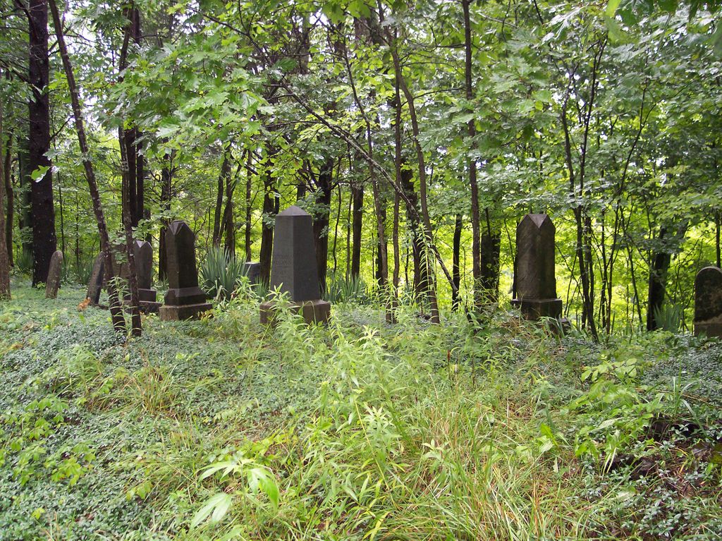
| Description | : | The cemetery is located in Lancaster Township (W half of Section 33 Township 5N Range 9E) on the south side of W May Lane. Indiana Cemetery Locations, Volume 4, published by the Indiana Genealogical Society (April 2009), gives the primary cemetery name as Odgen Cemetery and also as Lard Cemetery with an alternate name of Laird Cemetery. The cemetery is listed in the Cemetery and Burial Grounds Registry of the Indiana Department of Natural Resources (DNR) and in the State Historical Architectural and Archaeological Research Database (SHAARD) with Cemetery Record Number CR-39-36 (Ogden / Laird). The Indiana Historic... Read More |
frequently asked questions (FAQ):
-
Where is Ogden Cemetery?
Ogden Cemetery is located at W May Lane Lancaster, Jefferson County ,Indiana , 47250USA.
-
Ogden Cemetery cemetery's updated grave count on graveviews.com?
0 memorials
-
Where are the coordinates of the Ogden Cemetery?
Latitude: 38.8317000
Longitude: -85.5275000
Nearby Cemetories:
1. Lancaster Cemetery
Lancaster, Jefferson County, USA
Coordinate: 38.8334100, -85.5227900
2. Clashman Cemetery
Jefferson County, USA
Coordinate: 38.8274994, -85.5325012
3. College Hill Cemetery
Jefferson County, USA
Coordinate: 38.8314018, -85.5139008
4. Byfield Cemetery
Lancaster, Jefferson County, USA
Coordinate: 38.8504000, -85.5190000
5. McKay-Stites Cemetery
Jefferson County, USA
Coordinate: 38.8165030, -85.5101400
6. Dryden Farm Cemetery
Middlefork, Jefferson County, USA
Coordinate: 38.8405000, -85.4951000
7. Nelson Cemetery
Lancaster, Jefferson County, USA
Coordinate: 38.8452960, -85.5586940
8. Gasaway Cemetery
Volga, Jefferson County, USA
Coordinate: 38.7995570, -85.5213460
9. Corya Cemetery
Dupont, Jefferson County, USA
Coordinate: 38.8401840, -85.4870680
10. Williams Farm Cemetery
Middlefork, Jefferson County, USA
Coordinate: 38.8515000, -85.4791000
11. Shiloh Cemetery
Jefferson County, USA
Coordinate: 38.7888050, -85.5172130
12. Methodist Graveyard
Dupont, Jefferson County, USA
Coordinate: 38.8753120, -85.5181660
13. Kinnear Cemetery
Smyrna, Jefferson County, USA
Coordinate: 38.7900009, -85.5072021
14. Rogers Cemetery
Smyrna, Jefferson County, USA
Coordinate: 38.8240870, -85.4707190
15. Rector Cemetery
Dupont, Jefferson County, USA
Coordinate: 38.8766930, -85.5186370
16. Bland Cemetery
Dupont, Jefferson County, USA
Coordinate: 38.8722410, -85.4975150
17. Lawler Cemetery #2
Wakefield, Jefferson County, USA
Coordinate: 38.7858170, -85.5416830
18. Neavill Cemetery
Jefferson County, USA
Coordinate: 38.7846985, -85.5136032
19. Ford Cemetery
Smyrna, Jefferson County, USA
Coordinate: 38.7813160, -85.5271480
20. Hopewell Cemetery
Volga, Jefferson County, USA
Coordinate: 38.7815800, -85.5180340
21. Brown Cemetery
Smyrna, Jefferson County, USA
Coordinate: 38.8196560, -85.4637900
22. Native American Cemetery
Milton Township, Jefferson County, USA
Coordinate: 38.8063520, -85.5846600
23. Lawler Cemetery
Volga, Jefferson County, USA
Coordinate: 38.7831001, -85.5485992
24. Rockdale Cemetery
Dupont, Jefferson County, USA
Coordinate: 38.8837820, -85.5191790