
| Memorials | : | 0 |
| Location | : | Lewis County, USA |
| Coordinate | : | 35.5774994, -87.3555984 |
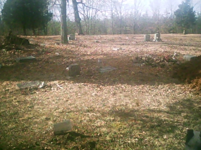
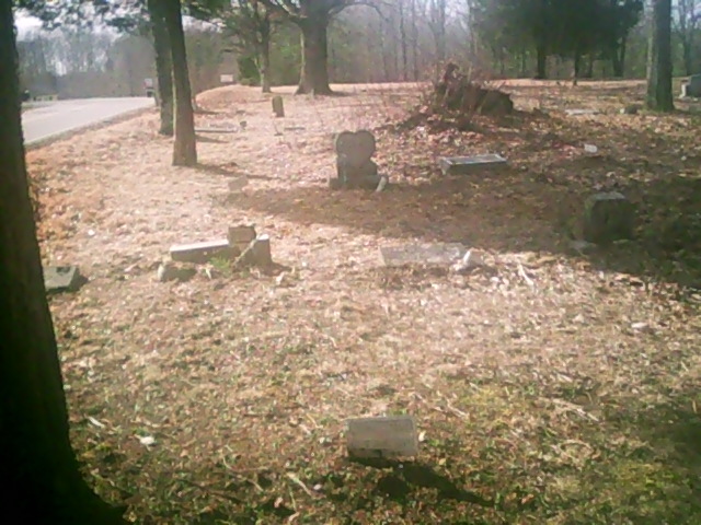
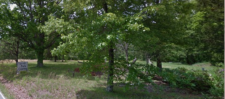
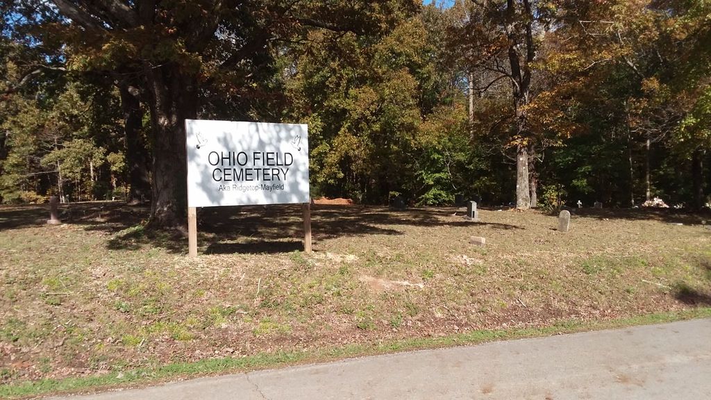
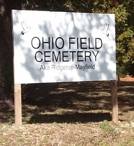
| Description | : | Known as "Ohio Field Cemetery" because the first interments were those who had gone to Ohio to work and retired back in the area. From the town of Hampshire (at the intersection of Highway 412 and 166), head southwest on 412W for about 3 miles then take a right on Ridgetop Road. When the road "T"s take the left, which is a continuation of Ridgetop Road. Pass the Natchez Hills B&B and drive for another third mile. Booker Road will be on the left while the cemetery is on the right. |
frequently asked questions (FAQ):
-
Where is Ohio Field Cemetery?
Ohio Field Cemetery is located at Lewis County ,Tennessee ,USA.
-
Ohio Field Cemetery cemetery's updated grave count on graveviews.com?
0 memorials
-
Where are the coordinates of the Ohio Field Cemetery?
Latitude: 35.5774994
Longitude: -87.3555984
Nearby Cemetories:
1. Vincent Cemetery
Lewis County, USA
Coordinate: 35.5677986, -87.3467026
2. Walker Cemetery
Lewis County, USA
Coordinate: 35.5597000, -87.3842010
3. Sharp Cemetery
Lewis County, USA
Coordinate: 35.5511017, -87.3716965
4. Gordonsburg Cemetery
Lewis County, USA
Coordinate: 35.5696983, -87.4013977
5. Blackwell Cemetery
Lewis County, USA
Coordinate: 35.5656013, -87.4011002
6. Hensley Cemetery
Lewis County, USA
Coordinate: 35.5597000, -87.4141998
7. Stoney- Lonesome Cemetery
Lewis County, USA
Coordinate: 35.5606003, -87.4199982
8. Brown Cemetery
Lewis County, USA
Coordinate: 35.6377983, -87.3491974
9. Conner Cemetery
Maury County, USA
Coordinate: 35.6030998, -87.2869034
10. Kittrell Cemetery
Lewis County, USA
Coordinate: 35.5153008, -87.3506012
11. Whiteside Cemetery
Lewis County, USA
Coordinate: 35.6403008, -87.3403015
12. Ledbetter Cemetery
Lewis County, USA
Coordinate: 35.5344009, -87.2966995
13. McClain Cemetery
Hohenwald, Lewis County, USA
Coordinate: 35.5318985, -87.2913971
14. McClain Cemetery
Lewis County, USA
Coordinate: 35.5313890, -87.2916670
15. Johnson Cemetery
Lewis County, USA
Coordinate: 35.5825005, -87.4411011
16. Sisco Cemetery
Lewis County, USA
Coordinate: 35.6189003, -87.4308014
17. Whitfield Cemetery
Lewis County, USA
Coordinate: 35.6514015, -87.3610992
18. Mount Sinai Cemetery
Lewis County, USA
Coordinate: 35.5722008, -87.4503021
19. Harder Cemetery
Lewis County, USA
Coordinate: 35.5950012, -87.4552994
20. Palestine Cemetery
Hohenwald, Lewis County, USA
Coordinate: 35.5988998, -87.4552994
21. Palestine Cemetery
Salem, Lewis County, USA
Coordinate: 35.5992480, -87.4553720
22. Smith Cemetery
Lewis County, USA
Coordinate: 35.6077995, -87.4522018
23. Jim Cothran Family Cemetery
Hohenwald, Lewis County, USA
Coordinate: 35.5981500, -87.4565900
24. Jimmy Cothran Family Cemetery
Salem, Lewis County, USA
Coordinate: 35.5981100, -87.4567200