| Memorials | : | 123 |
| Location | : | Huttonsville, Randolph County, USA |
| Coordinate | : | 38.6877880, -79.9820140 |
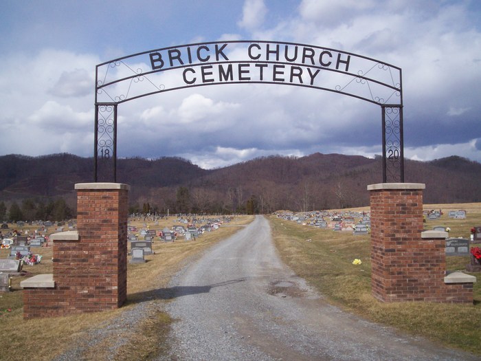
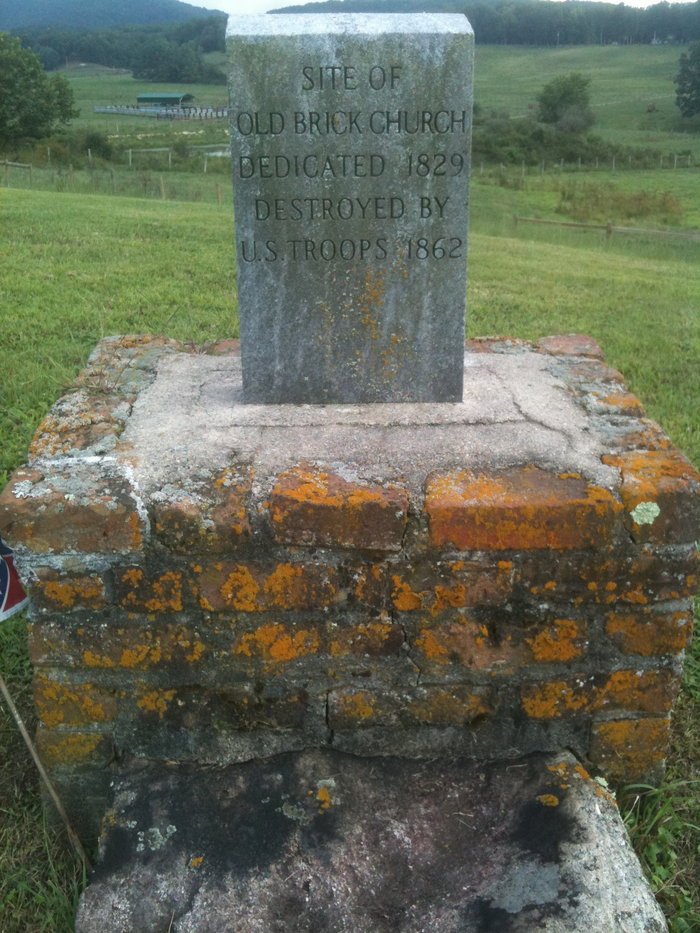
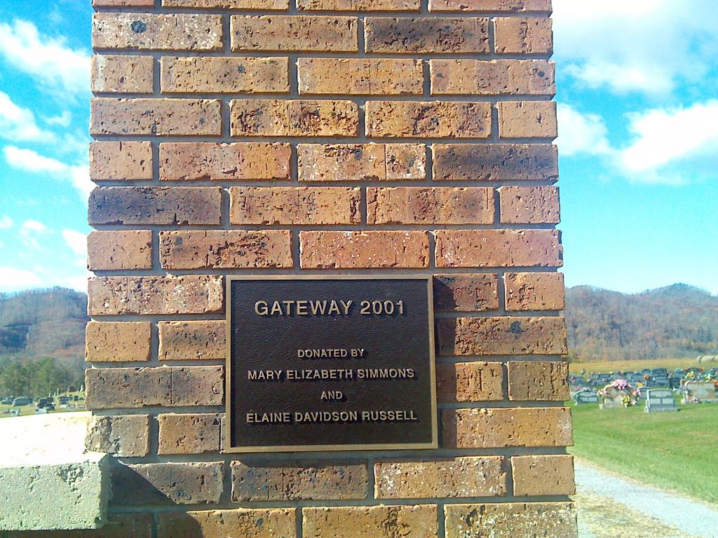
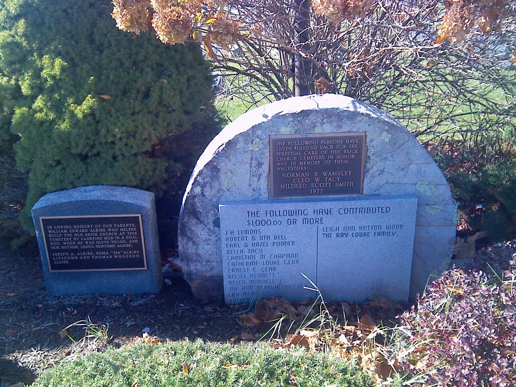
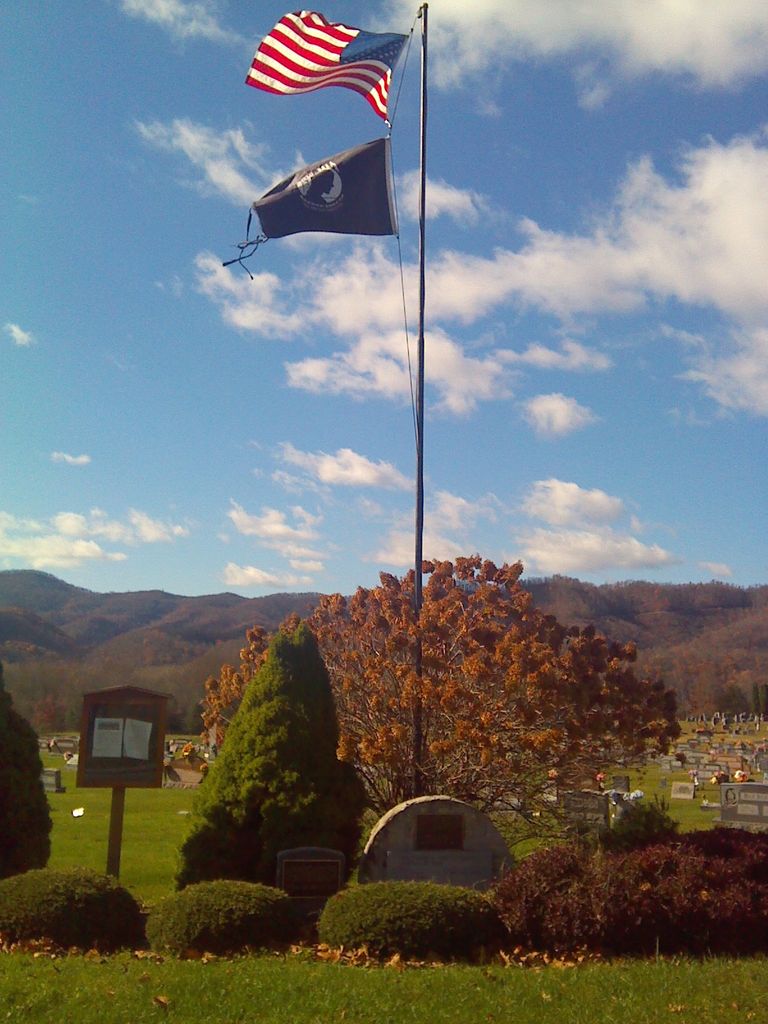
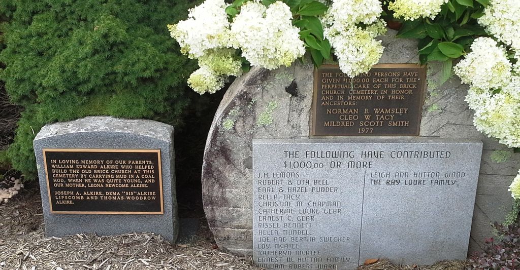
| Description | : | Sign reads: Old Brick Church - Tygart's Valley Presbyterian Church, organized in 1820. A brick building erected three-fourths mile west at the cemetery was destroyed by Union soldiers in 1862-1863 and the bricks used for building flues at the winter quarters. |
frequently asked questions (FAQ):
-
Where is Old Brick Church Cemetery?
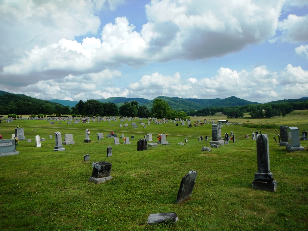
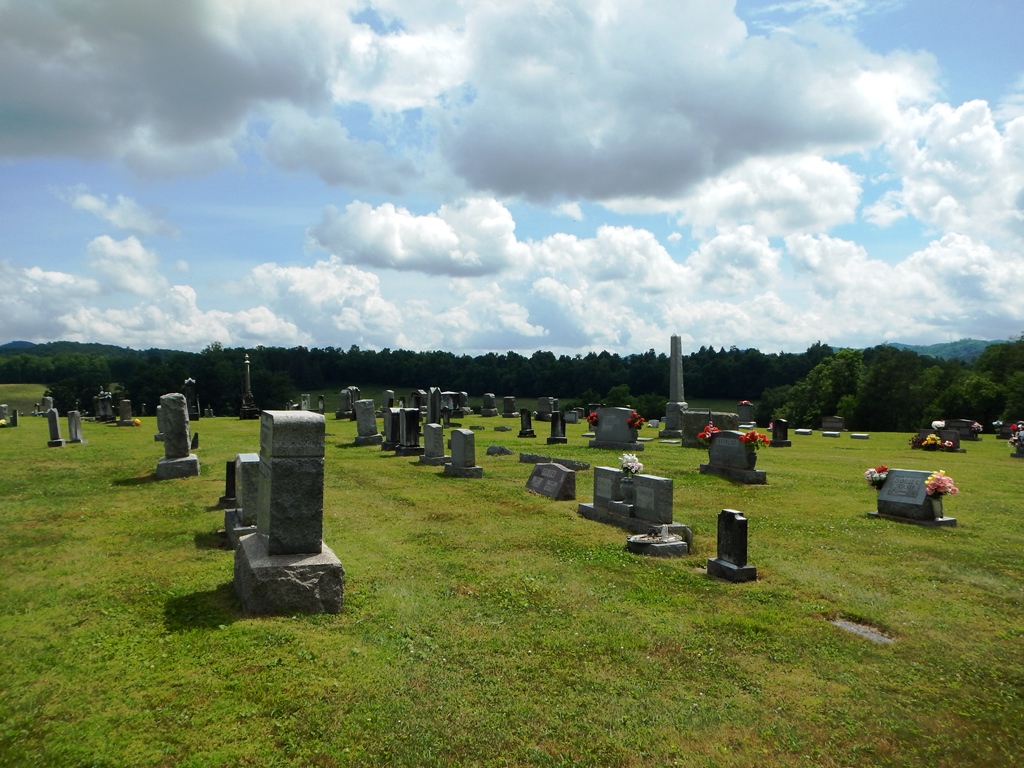
Old Brick Church Cemetery is located at Bell Church Rd. (Co. Route 56 Huttonsville, Randolph County ,West Virginia ,USA.
-
Old Brick Church Cemetery cemetery's updated grave count on graveviews.com?
121 memorials
-
Where are the coordinates of the Old Brick Church Cemetery?
Latitude: 38.6877880
Longitude: -79.9820140
Nearby Cemetories:
1. Belle-Kelley Cemetery
Randolph County, USA
Coordinate: 38.6698390, -79.9967550
2. Shifflett Cemetery
Huttonsville, Randolph County, USA
Coordinate: 38.7127800, -79.9791718
3. Mill Creek Cemetery
Mill Creek, Randolph County, USA
Coordinate: 38.7282100, -79.9701300
4. Jerusalem Cemetery
Mill Creek, Randolph County, USA
Coordinate: 38.7460800, -79.9879600
5. Hamilton Cemetery
Elkwater, Randolph County, USA
Coordinate: 38.6336610, -80.0226450
6. Crouch Cemetery
Mill Creek, Randolph County, USA
Coordinate: 38.7518997, -79.9571991
7. Jonathan Crouch Cemetery
Huttonsville, Randolph County, USA
Coordinate: 38.6294920, -80.0265080
8. Fincham Chapel Cemetery
Adolph, Randolph County, USA
Coordinate: 38.7647370, -80.0307140
9. Fortney Cemetery
Adolph, Randolph County, USA
Coordinate: 38.7622700, -80.0371200
10. See Cemetery
Randolph County, USA
Coordinate: 38.6044630, -80.0276990
11. Blue Rock Cemetery
Blue Rock, Randolph County, USA
Coordinate: 38.7256850, -80.0951940
12. Watson Cemetery
Mill Creek, Randolph County, USA
Coordinate: 38.7876290, -79.9578120
13. Fort Milroy Cemetery
Randolph County, USA
Coordinate: 38.6199989, -79.8824997
14. Greenwood-Valley Bend Cemetery
East Dailey, Randolph County, USA
Coordinate: 38.7713200, -79.9009800
15. Harvey-Cain Lambert Cemetery
Cherry Grove, Pendleton County, USA
Coordinate: 38.6435000, -79.8374800
16. Armstrong Cemetery
Randolph County, USA
Coordinate: 38.7916500, -79.8841070
17. Hicks Cemetery
Randolph County, USA
Coordinate: 38.6688995, -80.1592026
18. Stalnaker Cemetery
Monterville, Randolph County, USA
Coordinate: 38.5741997, -80.0924988
19. Mount Olive Cemetery
Hinkleville, Upshur County, USA
Coordinate: 38.7799988, -80.1327972
20. Mount Olive Church Cemetery
Hemlock, Upshur County, USA
Coordinate: 38.7805560, -80.1336080
21. Old Stalnaker Family Cemetery
Randolph County, USA
Coordinate: 38.8143083, -79.8767627
22. Simmons Cemetery
Tallmansville, Upshur County, USA
Coordinate: 38.8142014, -80.1069031
23. Fahrner Family Cemetery
Helvetia, Randolph County, USA
Coordinate: 38.6972379, -80.1861842
24. Swecker Cemetery
Brady Gate, Randolph County, USA
Coordinate: 38.5425390, -80.0680680

