
| Memorials | : | 428 |
| Location | : | Rochester, Strafford County, USA |
| Coordinate | : | 43.2997210, -70.9683750 |
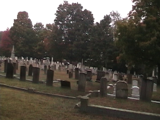
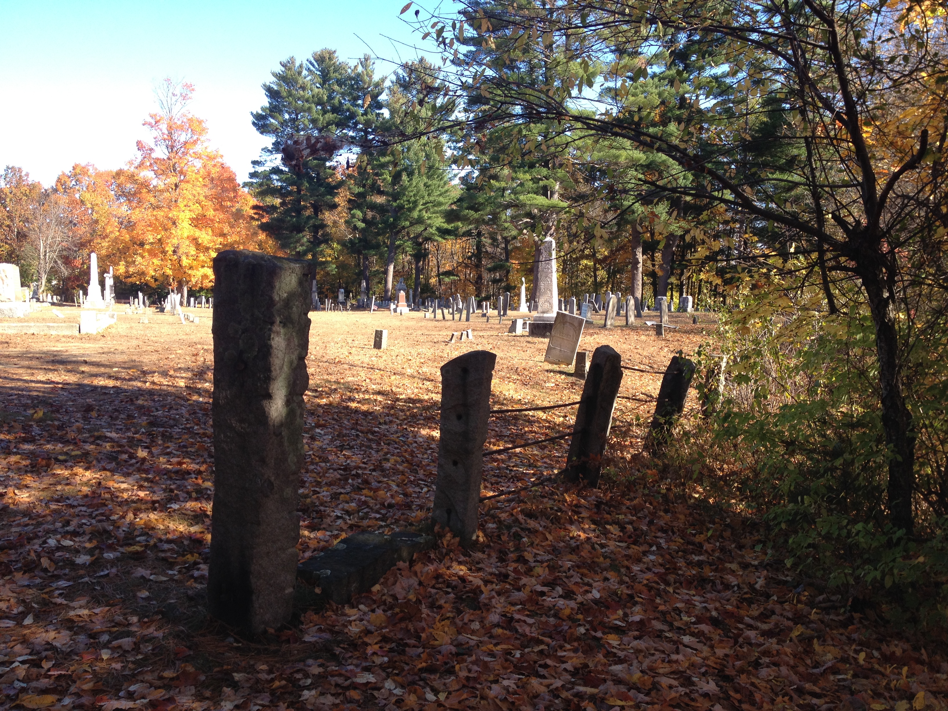
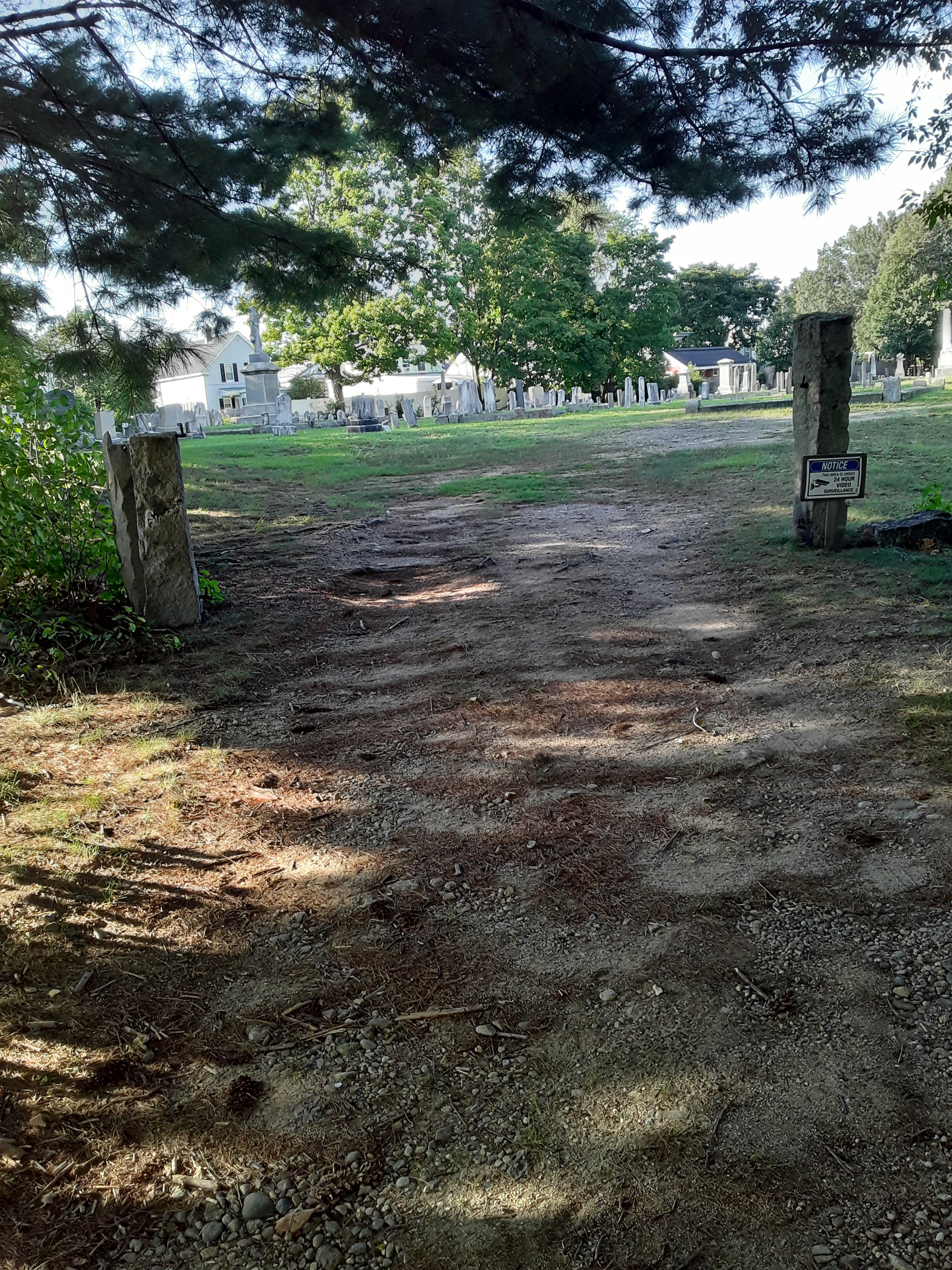
| Description | : | Known locally as the Old Old Cemetery, to differentiate it from the Old Rochester Cemetery, Old Cemetery is located on the east side of South Main Street (Rte 108). Access to the cemetery is by an unmarked right-of-way between the Hourihane Building and another building at the intersection of South Main and Franklin Road. A sign at this intersection points to the location of the Rochester Cemetery, a few yards further along Franklin Road. Trees and Willow Brook separate Old Old Cemetery from Rochester Cemetery. New Hampshire Old Graveyard Association database cemetery code R05—5D1 |
frequently asked questions (FAQ):
-
Where is Old Cemetery?
Old Cemetery is located at S Main St and Franklin St Rochester, Strafford County ,New Hampshire , 03867USA.
-
Old Cemetery cemetery's updated grave count on graveviews.com?
62 memorials
-
Where are the coordinates of the Old Cemetery?
Latitude: 43.2997210
Longitude: -70.9683750
Nearby Cemetories:
1. Rochester Cemetery
Rochester, Strafford County, USA
Coordinate: 43.3022003, -70.9630966
2. Saint Marys Cemetery
Rochester, Strafford County, USA
Coordinate: 43.2885160, -70.9666660
3. Holy Rosary Cemetery
Rochester, Strafford County, USA
Coordinate: 43.2933250, -70.9856770
4. Brewster Farm Cemetery
Rochester, Strafford County, USA
Coordinate: 43.2958330, -70.9908330
5. French-Hussey Family Burial Ground
Rochester, Strafford County, USA
Coordinate: 43.2979400, -70.9918980
6. Old Town Cemetery
Rochester, Strafford County, USA
Coordinate: 43.3095200, -70.9913500
7. Jenness cemetery
Rochester, Strafford County, USA
Coordinate: 43.2889088, -70.9450590
8. Gonic Village Cemetery
Gonic, Strafford County, USA
Coordinate: 43.2780420, -70.9797880
9. Haven Hill Cemetery
Rochester, Strafford County, USA
Coordinate: 43.2841988, -70.9385986
10. Clark Cemetery
Rochester, Strafford County, USA
Coordinate: 43.3009850, -71.0074390
11. Furber Cemetery
Rochester, Strafford County, USA
Coordinate: 43.3026000, -71.0077000
12. Wingate Homestead Burial Ground
Rochester, Strafford County, USA
Coordinate: 43.3027780, -70.9244440
13. McDuffee Family Cemetery
Rochester, Strafford County, USA
Coordinate: 43.3241670, -70.9994440
14. Ham-Clark Cemetery
Gonic, Strafford County, USA
Coordinate: 43.2721260, -70.9952230
15. Otis Family Cemetery
Gonic, Strafford County, USA
Coordinate: 43.2692012, -70.9901888
16. Foss Cemetery
Rochester, Strafford County, USA
Coordinate: 43.2844800, -71.0113800
17. Roberts Burying Ground
Rochester, Strafford County, USA
Coordinate: 43.2969440, -70.9205560
18. Hurd Cemetery
Gonic, Strafford County, USA
Coordinate: 43.2698590, -70.9938210
19. New Cold Spring Cemetery
East Rochester, Strafford County, USA
Coordinate: 43.3276520, -70.9355500
20. Ramsbottom Family Cemetery
Rochester, Strafford County, USA
Coordinate: 43.2669440, -70.9411110
21. Old Cold Spring Cemetery
East Rochester, Strafford County, USA
Coordinate: 43.3318430, -70.9342360
22. Garland Cemetery
Gonic, Strafford County, USA
Coordinate: 43.2599400, -70.9801000
23. Foss Family Cemetery
Rochester, Strafford County, USA
Coordinate: 43.2760360, -71.0156300
24. Rogers Page Cemetery
Rochester, Strafford County, USA
Coordinate: 43.3321800, -71.0067150