
| Memorials | : | 0 |
| Location | : | Oberpullendorf, Oberpullendorf Bezirk, Austria |
| Coordinate | : | 47.4978010, 16.5195120 |
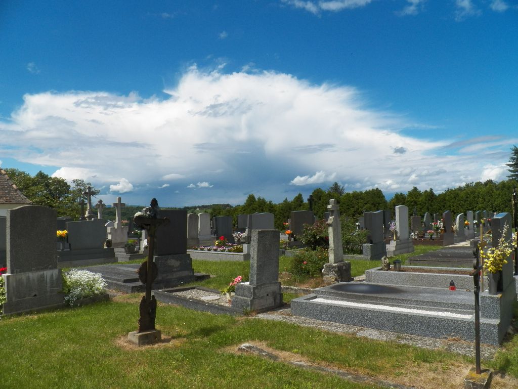
| Description | : | Former there was no 'old' and 'new' cementaries but after the years when the villages merged into eachother. The old cementary is positioned in the old part of Oberpullendorf, the new part you can see from the old one, is in the opposite and located in the part that former was Mitterpullendorf. History to the village you can find here: http://www.oberpullendorf.at/index.php?article_id=44 |
frequently asked questions (FAQ):
-
Where is Old Cemetery?
Old Cemetery is located at Rebengasse / Oberpullendorf - Haselnussfeld Oberpullendorf, Oberpullendorf Bezirk ,Burgenland , 7350Austria.
-
Old Cemetery cemetery's updated grave count on graveviews.com?
0 memorials
-
Where are the coordinates of the Old Cemetery?
Latitude: 47.4978010
Longitude: 16.5195120
Nearby Cemetories:
1. Kaisersdorf
Oberpullendorf Bezirk, Austria
Coordinate: 47.5261878, 16.4029332
2. Friedhof Markt Sankt Martin
Markt Sankt Martin, Oberpullendorf Bezirk, Austria
Coordinate: 47.5579826, 16.4180829
3. Jewish Cemetery of Lackenbach
Lackenbach, Oberpullendorf Bezirk, Austria
Coordinate: 47.5921420, 16.4680520
4. Kőszeg Cemetery
Kőszeg, Köszegi járás, Hungary
Coordinate: 47.3860500, 16.5368940
5. Kőszeg Cemetery
Kőszeg, Köszegi járás, Hungary
Coordinate: 47.3858022, 16.5363599
6. Jewish cemetery
Kőszeg, Köszegi járás, Hungary
Coordinate: 47.3842590, 16.5329850
7. Ortsfriedhof
Kobersdorf, Oberpullendorf Bezirk, Austria
Coordinate: 47.5936929, 16.3907121
8. Ortsfriedhof
Oberpetersdorf, Oberpullendorf Bezirk, Austria
Coordinate: 47.6169950, 16.3835895
9. Friedhof Kirchschlag
Kirchschlag in der Buckligen Welt, Wiener Neustadt-Land Bezirk, Austria
Coordinate: 47.5039230, 16.2926712
10. Nagycenk temető
Nagycenk, Soproni járás, Hungary
Coordinate: 47.6014900, 16.6974800
11. Friedhof Ungerbach
Ungerbach, Wiener Neustadt-Land Bezirk, Austria
Coordinate: 47.4697153, 16.2796844
12. Hősi Temető, Sopronbánfalva
Sopron, Soproni járás, Hungary
Coordinate: 47.6776070, 16.5551650
13. Ágfalva, cemetery
Ágfalva, Soproni járás, Hungary
Coordinate: 47.6873260, 16.5237770
14. Evangélikus temető
Sopron, Soproni járás, Hungary
Coordinate: 47.6839882, 16.6071300
15. Rechnitz
Rechnitz, Oberwart Bezirk, Austria
Coordinate: 47.3072610, 16.4499810
16. Soproni izraelita temető
Sopron, Soproni járás, Hungary
Coordinate: 47.6899420, 16.6012390
17. Sopron Cemetery
Sopron, Soproni járás, Hungary
Coordinate: 47.6910190, 16.5979080
18. Fertõhomok
Fertőhomok, Soproni járás, Hungary
Coordinate: 47.6211060, 16.7641390
19. Hegyköi temető
Hegykő, Soproni járás, Hungary
Coordinate: 47.6203620, 16.8011790
20. Friedhof Mönchmeierhof
Monchmeierhof, Oberwart Bezirk, Austria
Coordinate: 47.3173433, 16.3064335
21. Schachendorf
Schachendorf, Oberwart Bezirk, Austria
Coordinate: 47.2657061, 16.4374766
22. Friedhof Altschlaining
Altschlaining, Oberwart Bezirk, Austria
Coordinate: 47.3121568, 16.2898795
23. Dürnbach im Burgenland
Durnbach im Burgenland, Oberwart Bezirk, Austria
Coordinate: 47.2694669, 16.3918869
24. German Military Cemetery Mattersburg
Mattersburg, Mattersburg Bezirk, Austria
Coordinate: 47.7336162, 16.4026530