
| Memorials | : | 0 |
| Location | : | Randolph, Tipton County, USA |
| Coordinate | : | 35.5235650, -89.8855500 |
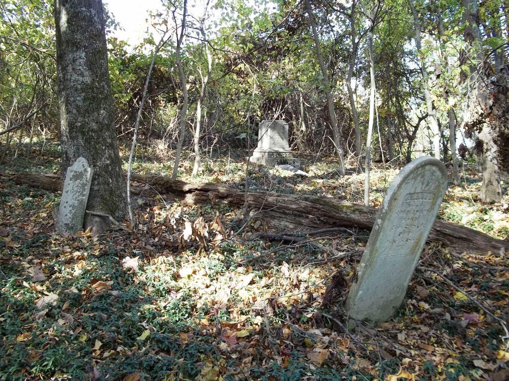
| Description | : | From the intersection of TN-206/Munford Ave. & US-51, at Munford, travel West on TN-206/Munford Ave. for 1.5 mi.; turning North (right) onto N Tipton St., then; turning West (left) onto E. Main St., going 0.1 mi.; turning North (right) onto TN-178 N/Giltedge Rd/Munford Giltedge Rd., going 2.7 mi.; turning West (left) onto Camp Rd.; continuing onto Campground Rd. & Girl Scout Rd.; turning Northeast (right) onto TN-59, going 4.5 mi.; turning North (left) onto Randolph Rd., going 1.3 mi. to this small abandoned cemetery, as notated on USGS topo maps. |
frequently asked questions (FAQ):
-
Where is Old Randolph Cemetery?
Old Randolph Cemetery is located at 1101 Randolph Road Randolph, Tipton County ,Tennessee , 38015USA.
-
Old Randolph Cemetery cemetery's updated grave count on graveviews.com?
0 memorials
-
Where are the coordinates of the Old Randolph Cemetery?
Latitude: 35.5235650
Longitude: -89.8855500
Nearby Cemetories:
1. Williams Cemetery
Tipton County, USA
Coordinate: 35.5186010, -89.8869020
2. Randolph Cemetery
Burlison, Tipton County, USA
Coordinate: 35.5218430, -89.8788060
3. Campground Cemetery
Drummonds, Tipton County, USA
Coordinate: 35.4969310, -89.8536770
4. Dickens Cemetery
Burlison, Tipton County, USA
Coordinate: 35.5565290, -89.8543460
5. Union Grove Cemetery
Tipton County, USA
Coordinate: 35.5069008, -89.8253021
6. Ravenscroft Cemetery
Beaver, Tipton County, USA
Coordinate: 35.5078190, -89.8219310
7. Sanders-Williamson Family Cemetery
Drummonds, Tipton County, USA
Coordinate: 35.4842340, -89.9343210
8. Alston Cemetery
Gilt Edge, Tipton County, USA
Coordinate: 35.5195370, -89.8146100
9. Saint Paul Chapel M.B. Church Cemetery
Drummonds, Tipton County, USA
Coordinate: 35.4911790, -89.9450540
10. Chapel Hill Cemetery
Drummonds, Tipton County, USA
Coordinate: 35.4932090, -89.9469310
11. Goggins Cemetery
Munford, Tipton County, USA
Coordinate: 35.4875240, -89.8288210
12. Poplar Grove Cemetery
Drummonds, Tipton County, USA
Coordinate: 35.4613990, -89.9119030
13. Nodena Cemetery
Mississippi County, USA
Coordinate: 35.5607986, -89.9558029
14. Old Craig Graveyard
Munford, Tipton County, USA
Coordinate: 35.4836936, -89.8098051
15. Byrd Burying Ground
Drummonds, Tipton County, USA
Coordinate: 35.4500560, -89.8941110
16. Elm Grove Church Cemetery
Burlison, Tipton County, USA
Coordinate: 35.5727830, -89.8118610
17. Adams Cemetery
Munford, Tipton County, USA
Coordinate: 35.4551660, -89.8357900
18. Chapman Family Cemetery
Atoka, Tipton County, USA
Coordinate: 35.4430910, -89.8703960
19. Uriel Grave Yard
Tipton County, USA
Coordinate: 35.4494800, -89.9486700
20. Old Fulton Road Cemetery
Fulton, Lauderdale County, USA
Coordinate: 35.6157820, -89.8648270
21. Helen Crigger Cemetery
Munford, Tipton County, USA
Coordinate: 35.4515100, -89.8103700
22. Smyrna Baptist Church Cemetery
Burlison, Tipton County, USA
Coordinate: 35.5607770, -89.7774480
23. Hawkins Cemetery
Burlison, Tipton County, USA
Coordinate: 35.5514900, -89.7731850
24. Armstrong Family Cemetery
Drummonds, Tipton County, USA
Coordinate: 35.4269530, -89.8774840