| Memorials | : | 2 |
| Location | : | Rolfe, Pocahontas County, USA |
| Coordinate | : | 42.8403511, -94.4764175 |
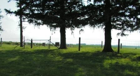
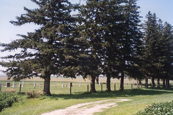
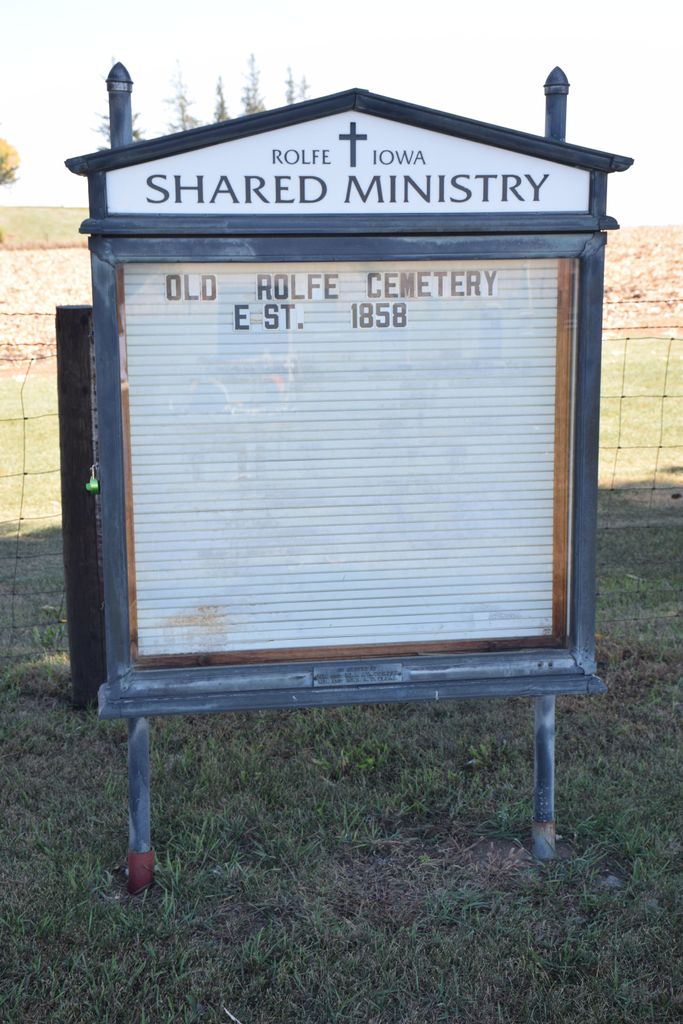
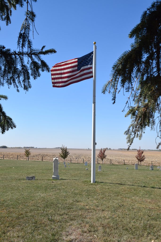
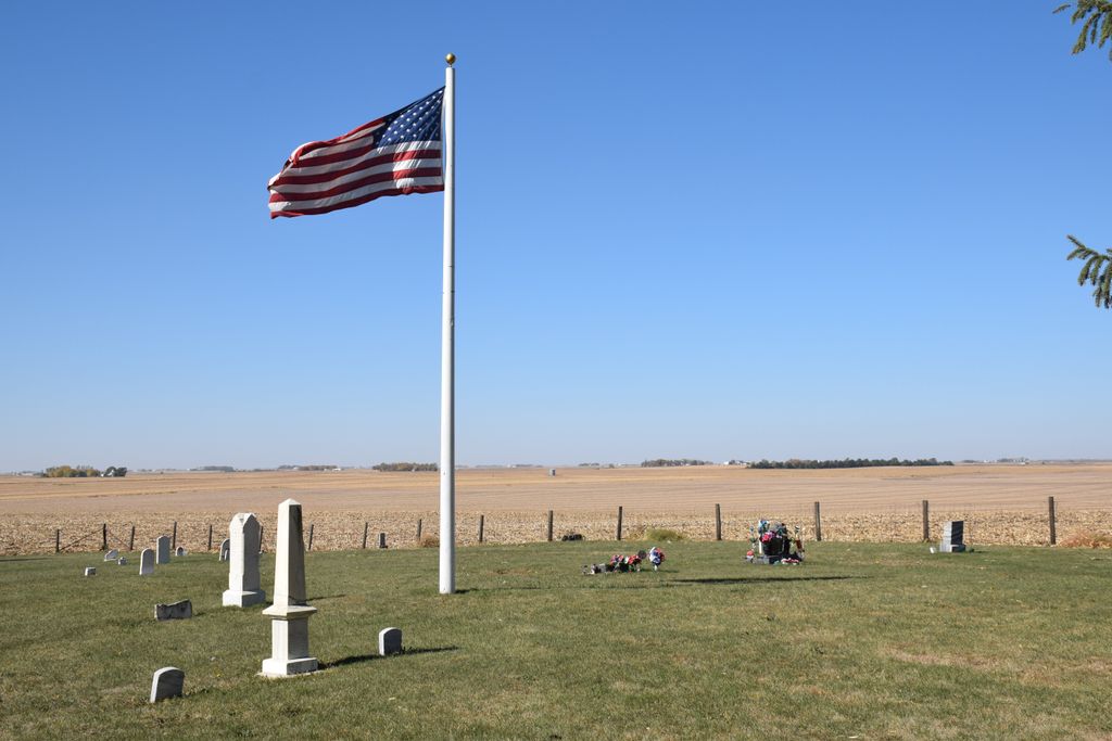
| Description | : | Old Rolfe Cemetery was the original cemetery for the town of Rolfe. When the town of Rolfe moved south, a new cemetery, Clinton-Garfield Cemetery, took it's place. The cemetery and areas of the original town are still preserved by the local people. As you enter the side road off of 325th Ave, be sure to look to your right just before you get to the row of silos. You will see a marker identifying the site of the first courthouse in Pocahontas County. The side road continues past the silos, through a field and to... Read More |
frequently asked questions (FAQ):
-
Where is Old Rolfe Cemetery?
Old Rolfe Cemetery is located at Rolfe, Pocahontas County ,Iowa ,USA.
-
Old Rolfe Cemetery cemetery's updated grave count on graveviews.com?
2 memorials
-
Where are the coordinates of the Old Rolfe Cemetery?
Latitude: 42.8403511
Longitude: -94.4764175
Nearby Cemetories:
1. Saint Margarets Cemetery
Rolfe, Pocahontas County, USA
Coordinate: 42.8164978, -94.5307465
2. Clinton-Garfield Cemetery
Rolfe, Pocahontas County, USA
Coordinate: 42.8055300, -94.5202500
3. McKnight Cemetery
Bode, Humboldt County, USA
Coordinate: 42.8635100, -94.4055600
4. Omer-Thorsen Farm Cemetery
Ottosen, Humboldt County, USA
Coordinate: 42.8735742, -94.4085743
5. Powhatan Cemetery
Plover, Pocahontas County, USA
Coordinate: 42.8557396, -94.5801773
6. Union Cemetery
Ottosen, Humboldt County, USA
Coordinate: 42.8879128, -94.3792496
7. Marble Valley Cemetery
Gilmore City, Humboldt County, USA
Coordinate: 42.7458850, -94.4430150
8. Saint Johns Catholic Cemetery
Gilmore City, Pocahontas County, USA
Coordinate: 42.7332993, -94.4672012
9. Riverside Cemetery
West Bend, Palo Alto County, USA
Coordinate: 42.9512000, -94.5120000
10. West Bend Cemetery
West Bend, Palo Alto County, USA
Coordinate: 42.9590000, -94.4548000
11. Apostolic V Christian Cemetery
Kossuth County, USA
Coordinate: 42.9630870, -94.4238290
12. Lincoln Cemetery
West Bend, Palo Alto County, USA
Coordinate: 42.9596842, -94.5602466
13. Saint Olaf Churchyard Cemetery
Bode, Humboldt County, USA
Coordinate: 42.8653600, -94.2858300
14. Mount Hope Cemetery
Unique, Humboldt County, USA
Coordinate: 42.7169250, -94.3740570
15. Ellington Cemetery
Ellington Township, Palo Alto County, USA
Coordinate: 42.9377000, -94.6240400
16. Saint Olaf Lutheran Cemetery
Bode, Humboldt County, USA
Coordinate: 42.8628000, -94.2773000
17. Garfield Township Cemetery
Kossuth County, USA
Coordinate: 42.9947000, -94.4080000
18. Washington Cemetery
Havelock, Pocahontas County, USA
Coordinate: 42.8363250, -94.7091440
19. Calvary Cemetery
Pocahontas, Pocahontas County, USA
Coordinate: 42.7335000, -94.6597000
20. Summit Hill Cemetery
Pocahontas, Pocahontas County, USA
Coordinate: 42.7315000, -94.6595000
21. Rutland Township Cemetery
Rutland, Humboldt County, USA
Coordinate: 42.7574997, -94.2652969
22. Riverside Cemetery
Fern Valley Township, Palo Alto County, USA
Coordinate: 43.0200000, -94.5220000
23. Union Cemetery
Livermore, Humboldt County, USA
Coordinate: 42.8778000, -94.2177963
24. Saint Joseph Catholic Cemetery
Saint Joseph, Kossuth County, USA
Coordinate: 42.9119137, -94.2296852

