
| Memorials | : | 23 |
| Location | : | Rutherford County, USA |
| Coordinate | : | 35.1834200, -81.8133400 |
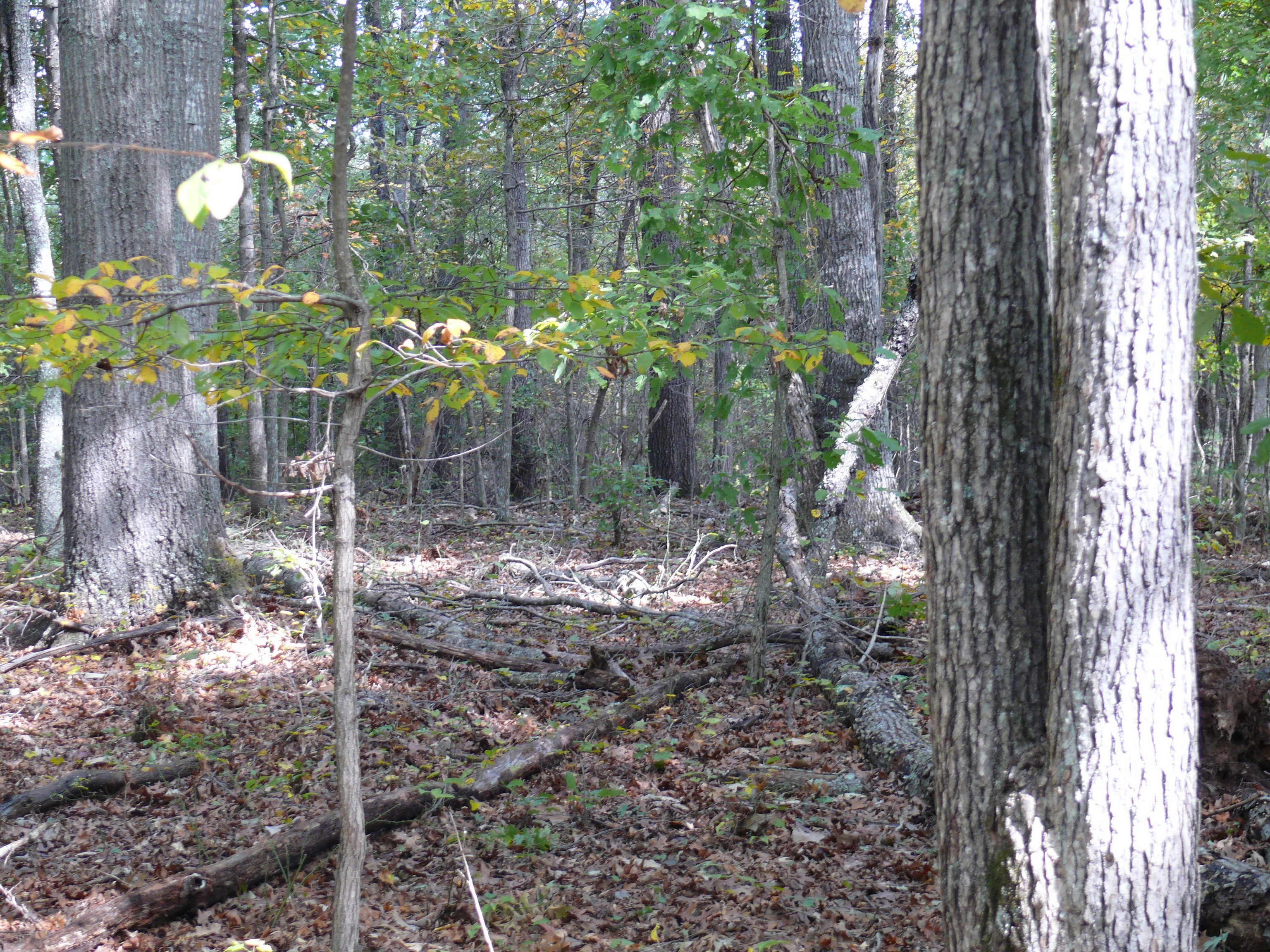
| Description | : | The Old State Line Baptist Church Cemetery was situated just over the state line in Rutherford County, NC near the original State Line Baptist Church. The new cemetery is located a couple of miles to the South East next to the State Line Baptist Church in Cherokee County, SC. The cemetery is unkempt and abandoned in a plot of woods at the intersection of Durham, N. Green River and State Line Roads. It contains around a hundred graves, but only three or four contain inscriptions and was surveyed by Bo Scruggs, Bud & Judy Baker, Gladys Sherrer and Johnny Williams... Read More |
frequently asked questions (FAQ):
-
Where is Old State Line Baptist Church Cemetery?
Old State Line Baptist Church Cemetery is located at Rutherford County ,North Carolina ,USA.
-
Old State Line Baptist Church Cemetery cemetery's updated grave count on graveviews.com?
23 memorials
-
Where are the coordinates of the Old State Line Baptist Church Cemetery?
Latitude: 35.1834200
Longitude: -81.8133400
Nearby Cemetories:
1. Buck Shoals Baptist Cemetery
Rutherford County, USA
Coordinate: 35.1864100, -81.8266400
2. State Line Baptist Cemetery
Cherokee County, USA
Coordinate: 35.1702995, -81.7992020
3. Camp Cemetery
Rutherford County, USA
Coordinate: 35.2061650, -81.8265550
4. Hicks Grove Baptist Cemetery
Rutherford County, USA
Coordinate: 35.1906580, -81.8500300
5. Watkins Cemetery
Rutherford County, USA
Coordinate: 35.1946190, -81.7697410
6. Painter Cemetery
Cherokee County, USA
Coordinate: 35.1460991, -81.8311005
7. Johnson Cemetery
Cherokee County, USA
Coordinate: 35.1453018, -81.8313980
8. Suck Creek Cemetery
Gaffney, Cherokee County, USA
Coordinate: 35.1713982, -81.7643967
9. Byars Cemetery
Cherokee County, USA
Coordinate: 35.1411850, -81.8201140
10. Goodes Creek Baptist Cemetery
Cliffside, Rutherford County, USA
Coordinate: 35.2307710, -81.8152780
11. Prospect Baptist Church Cemetery
Mooresboro, Cleveland County, USA
Coordinate: 35.1972420, -81.7576240
12. Cowpens National Battle Site
Chesnee, Spartanburg County, USA
Coordinate: 35.1339400, -81.8145500
13. Chesnee Cemetery
Chesnee, Spartanburg County, USA
Coordinate: 35.1611410, -81.8682090
14. Riverside Baptist Cemetery
Harris, Rutherford County, USA
Coordinate: 35.2128677, -81.8654327
15. Horton Cemetery
Cherokee County, USA
Coordinate: 35.1685982, -81.7525024
16. Burke Cemetery
Chesnee, Spartanburg County, USA
Coordinate: 35.1585999, -81.8711014
17. McCraw Cemetery #2
Cleveland County, USA
Coordinate: 35.1931170, -81.7479420
18. Calvary Baptist Cemetery
Cliffside, Rutherford County, USA
Coordinate: 35.2383995, -81.8110657
19. Scruggs Cemetery
Rutherford County, USA
Coordinate: 35.2325800, -81.7814220
20. Horton Cemetery
Cherokee County, USA
Coordinate: 35.1603012, -81.7508011
21. Friends In Christ Cemetery
Chesnee, Spartanburg County, USA
Coordinate: 35.1503360, -81.8701230
22. Gethsemane Baptist Church Cemetery
Chesnee, Spartanburg County, USA
Coordinate: 35.1488630, -81.8698450
23. Scruggs Cemetery
Cliffside, Rutherford County, USA
Coordinate: 35.2264000, -81.7639000
24. Martin Cemetery
Cherokee County, USA
Coordinate: 35.1264000, -81.7908020