| Memorials | : | 12 |
| Location | : | Mineral County, USA |
| Coordinate | : | 39.3404300, -78.9731200 |
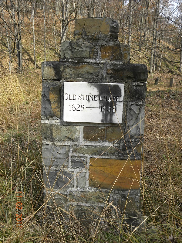
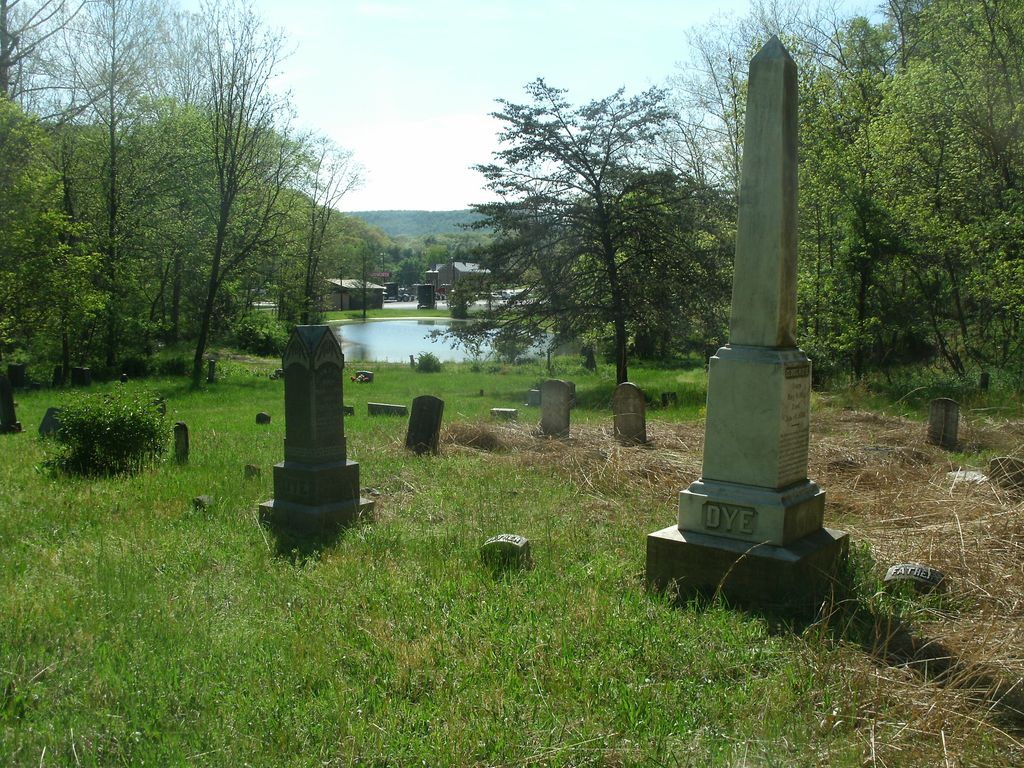
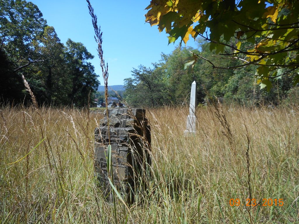
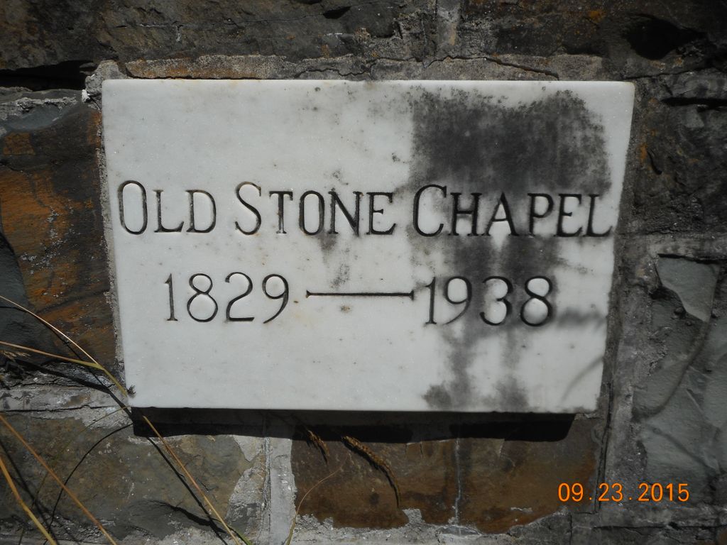
| Description | : | Located about 8 miles S.E. of Keyser, on US Hwy 50, near the entrance to Parrill Hollow Road, Burlington, Mineral County, West Virginia. Headstones face east with a creek running to the front of the cemetery. The cemetery is divided into two sections by a wide path. The right side is the larger of the two sections and houses the remainder of a stone wall or chimney with a marble plaque that reads: Old Stone Chapel, 1829-1840. The cemetery was established as a church-owned burial ground. Approximately 2 acres and is still active. |
frequently asked questions (FAQ):
-
Where is Old Stone Chapel Cemetery?
Old Stone Chapel Cemetery is located at Mineral County ,West Virginia ,USA.
-
Old Stone Chapel Cemetery cemetery's updated grave count on graveviews.com?
12 memorials
-
Where are the coordinates of the Old Stone Chapel Cemetery?
Latitude: 39.3404300
Longitude: -78.9731200
Nearby Cemetories:
1. Bane Cemetery
Burlington, Mineral County, USA
Coordinate: 39.3579200, -78.9598200
2. Homan Cemetery
Antioch, Mineral County, USA
Coordinate: 39.3360110, -79.0109840
3. Arnold Cemetery #2
Ridgeville, Mineral County, USA
Coordinate: 39.3612890, -79.0072440
4. Thrush Cemetery #01
Burlington, Mineral County, USA
Coordinate: 39.3588200, -78.9289400
5. Sloan Cemetery
Burlington, Mineral County, USA
Coordinate: 39.3091380, -78.9401280
6. Burlington Cemetery
Burlington, Mineral County, USA
Coordinate: 39.3356780, -78.9204500
7. Thrush Cemetery
Mineral County, USA
Coordinate: 39.3163950, -79.0244850
8. Davis Cemetery
Antioch, Mineral County, USA
Coordinate: 39.3117394, -79.0276057
9. Davis Cemetery
Mineral County, USA
Coordinate: 39.3119011, -79.0278015
10. Duling Cemetery
New Creek, Mineral County, USA
Coordinate: 39.3906525, -79.0041940
11. Barrick and Rines Cemetery
Mineral County, USA
Coordinate: 39.3994010, -79.0143540
12. Nicholas Leatherman Cemetery
Burlington, Mineral County, USA
Coordinate: 39.3625720, -78.8912770
13. Ferrebee-Tucker Cemetery
Antioch, Mineral County, USA
Coordinate: 39.2933080, -79.0380260
14. Shoemaker Cemetery
Burlington, Mineral County, USA
Coordinate: 39.3288260, -78.8835580
15. Kight Cemetery
New Creek, Mineral County, USA
Coordinate: 39.3475980, -79.0635400
16. Ward Cemetery
New Creek, Mineral County, USA
Coordinate: 39.3378792, -79.0655899
17. Claysville United Methodist Church Cemetery
New Creek, Mineral County, USA
Coordinate: 39.3425250, -79.0680940
18. Leatherman-Parish Cemetery
Keyser, Mineral County, USA
Coordinate: 39.4075080, -79.0150020
19. Sears Cemetery
Mineral County, USA
Coordinate: 39.4026900, -78.9148200
20. Agnew Family Cemetery
Rada, Hampshire County, USA
Coordinate: 39.2738350, -78.9234480
21. Arnold Cemetery
Junction, Hampshire County, USA
Coordinate: 39.3235900, -78.8751500
22. Kelley Cemetery
Rada, Hampshire County, USA
Coordinate: 39.2715090, -78.9235170
23. Mount Olive United Methodist Church Cemetery
Purgitsville, Hampshire County, USA
Coordinate: 39.2871260, -78.8970630
24. Elijah High Cemetery
Purgitsville, Hampshire County, USA
Coordinate: 39.2882996, -78.8921967


