
| Memorials | : | 0 |
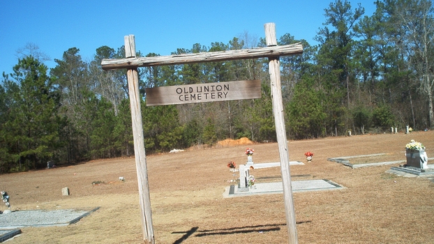
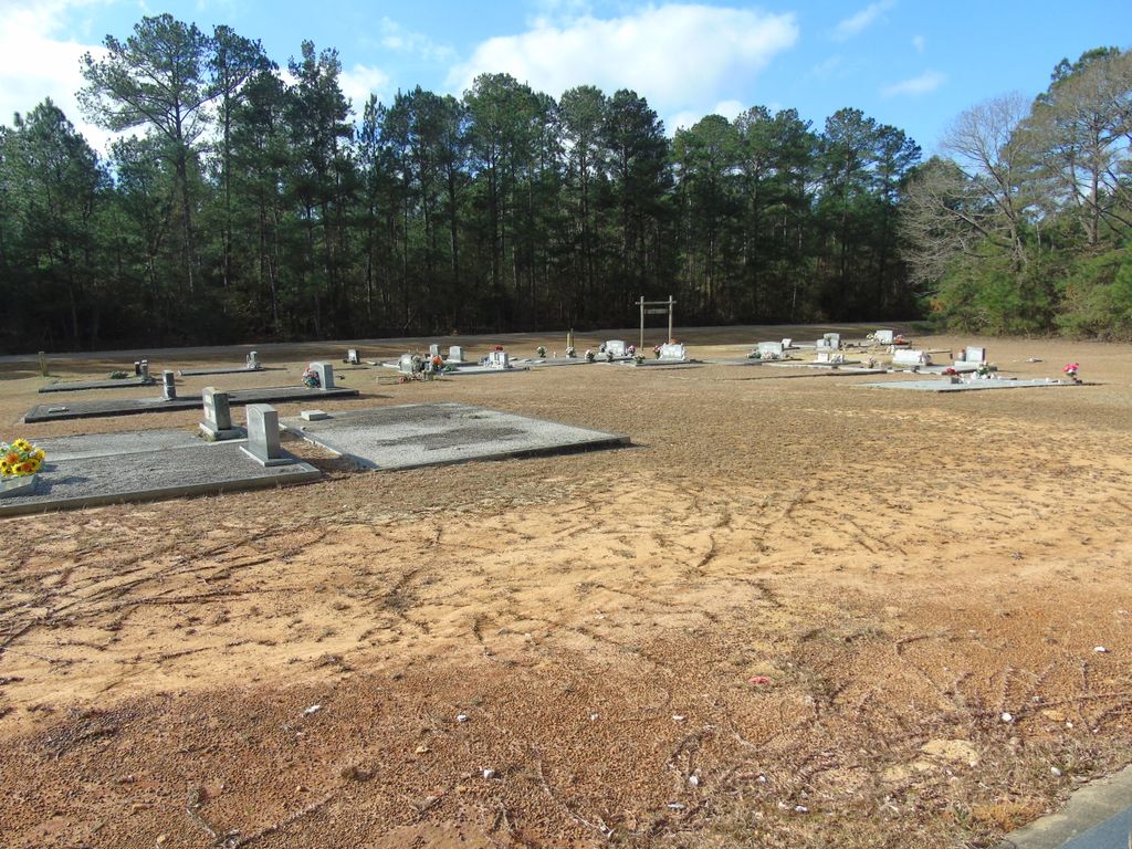
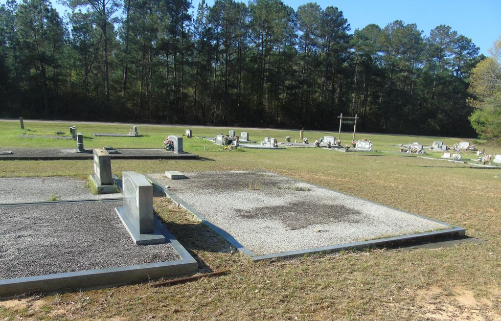
| Location | : | Weed Crossroad, Crenshaw County, USA |
| Coordinate | : | 31.5064700, -86.2434380 |
frequently asked questions (FAQ):
-
Where is Old Union Primitive Baptist Cemetery?
Old Union Primitive Baptist Cemetery is located at Weed Crossroad, Crenshaw County ,Alabama ,USA.
-
Old Union Primitive Baptist Cemetery cemetery's updated grave count on graveviews.com?
0 memorials
-
Where are the coordinates of the Old Union Primitive Baptist Cemetery?
Latitude: 31.5064700
Longitude: -86.2434380


Nearby Cemetories:
1. Weed Baptist Church Cemetery
Weed Crossroad, Crenshaw County, USA
Coordinate: 31.5091991, -86.2358017
2. Williams Cemetery
Covington County, USA
Coordinate: 31.5100689, -86.2715149
3. Veasey Chapel Cemetery
Covington County, USA
Coordinate: 31.5085570, -86.2813550
4. Oak Grove Cemetery
Brantley, Crenshaw County, USA
Coordinate: 31.5443993, -86.2469025
5. Morgan Family Cemetery
Brantley, Crenshaw County, USA
Coordinate: 31.5370740, -86.2727710
6. Jones Family Cemetery
Brantley, Crenshaw County, USA
Coordinate: 31.5370390, -86.2775070
7. Mitchell Cemetery
Crenshaw County, USA
Coordinate: 31.4552994, -86.2481003
8. Pine Level Cemetery
Pine Level, Coffee County, USA
Coordinate: 31.4727993, -86.1828003
9. Bullock Community Cemetery
Bullock, Crenshaw County, USA
Coordinate: 31.5454070, -86.1787940
10. Sport Cemetery
Dozier, Crenshaw County, USA
Coordinate: 31.5243460, -86.3227340
11. Sasser Church of Christ Cemetery
Crenshaw County, USA
Coordinate: 31.5462500, -86.3130100
12. Brantley Cemetery
Brantley, Crenshaw County, USA
Coordinate: 31.5774994, -86.2583008
13. Brantley-Davis Cemetery
Brantley, Crenshaw County, USA
Coordinate: 31.5797005, -86.2525024
14. Driskell Family Cemetery
Coffee County, USA
Coordinate: 31.5182991, -86.1549988
15. Parker Cemetery
Covington County, USA
Coordinate: 31.4910412, -86.3339996
16. Beaver Dam Cemetery
Elba, Coffee County, USA
Coordinate: 31.5025005, -86.1414032
17. Macedonia Cemetery
Rose Hill, Covington County, USA
Coordinate: 31.4519005, -86.3236008
18. Pilgrims Rest Cemetery
Covington County, USA
Coordinate: 31.4731007, -86.3414001
19. Mount Vernon Assembly of God Church Cemetery
Shady Grove, Coffee County, USA
Coordinate: 31.4998700, -86.1354680
20. Enon Primitive Baptist Church Cemetery
Crenshaw County, USA
Coordinate: 31.5129190, -86.3519560
21. Liberty Cemetery
Coffee County, USA
Coordinate: 31.4300003, -86.1810989
22. Hudson Cemetery
Elba, Coffee County, USA
Coordinate: 31.4950008, -86.1316986
23. Kimbro Cemetery
Dozier, Crenshaw County, USA
Coordinate: 31.5280360, -86.3545310
24. Rose Hill Cemetery
Rose Hill, Covington County, USA
Coordinate: 31.4521999, -86.3392029