
| Memorials | : | 1 |
| Location | : | Shawnee County, USA |
| Coordinate | : | 39.2014008, -95.9794006 |
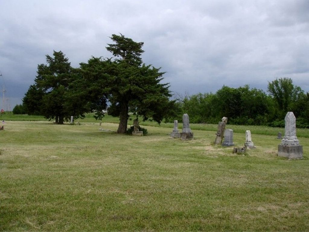
| Description | : | Located on the SE corner of NW 86th Street and NW Bailey Road, Rossville Township, Shawnee Co., KS. This cemetery has also been known as Franklin Cemetery. The land was part of a grant received by the Atchison, Topeka, & Santa Fe Railroad from the U.S. Government. The certificate was dated 17 October 1869. In June 1881 the land was sold to A.S. Stanley, who then sold a portion of the land to Fred Franklin in the same year. For $30 Fred & Maria Franklin sold a parcel of land to a church to be used for a cemetery. Trustees of... Read More |
frequently asked questions (FAQ):
-
Where is Olive Branch Cemetery?
Olive Branch Cemetery is located at Shawnee County ,Kansas ,USA.
-
Olive Branch Cemetery cemetery's updated grave count on graveviews.com?
1 memorials
-
Where are the coordinates of the Olive Branch Cemetery?
Latitude: 39.2014008
Longitude: -95.9794006
Nearby Cemetories:
1. Czech-Moravian Cemetery
Rossville, Shawnee County, USA
Coordinate: 39.2160988, -95.9381027
2. Mount Calvary Cemetery
Saint Marys, Pottawatomie County, USA
Coordinate: 39.2019615, -96.0457001
3. Delia Cemetery
Delia, Jackson County, USA
Coordinate: 39.2606010, -95.9599991
4. Saint Mary's College Assumption Chapel Relic Altar
Saint Marys, Pottawatomie County, USA
Coordinate: 39.1919000, -96.0606400
5. Our Lady of Peace Cemetery
Saint Marys, Pottawatomie County, USA
Coordinate: 39.2024600, -96.0634300
6. Rossville Cemetery
Rossville, Shawnee County, USA
Coordinate: 39.1437111, -95.9375992
7. Valley View Cemetery
Saint Marys, Pottawatomie County, USA
Coordinate: 39.2052994, -96.0721970
8. Rosetta Rice Cemetery
Delia, Jackson County, USA
Coordinate: 39.2640300, -95.9012400
9. Eleanore Willmett Burial Site
Maple Hill, Wabaunsee County, USA
Coordinate: 39.1188700, -96.0236200
10. Holy Cross Cemetery
Emmett, Pottawatomie County, USA
Coordinate: 39.2743988, -96.0466995
11. Walnut Hill Cemetery
Silver Lake, Shawnee County, USA
Coordinate: 39.1940498, -95.8500671
12. John Mitchell Cemetery
Delia, Jackson County, USA
Coordinate: 39.3031500, -95.9178900
13. Adrian Cemetery
Jackson County, USA
Coordinate: 39.3185997, -95.9796982
14. Uniontown Cemetery
Willard, Shawnee County, USA
Coordinate: 39.0847015, -95.9377136
15. O'Bennick Cemetery
Mayetta, Jackson County, USA
Coordinate: 39.2884780, -95.8703270
16. Silver Lake Cemetery
Silver Lake, Shawnee County, USA
Coordinate: 39.1189003, -95.8617020
17. Hosack Grave
Wabaunsee County, USA
Coordinate: 39.0798080, -95.9510280
18. Danceground Cemetery
Mayetta, Jackson County, USA
Coordinate: 39.3102989, -95.8966980
19. Maple Hill Cemetery
Maple Hill, Wabaunsee County, USA
Coordinate: 39.0795000, -96.0430500
20. Greenwood Cemetery
Kaw Township, Wabaunsee County, USA
Coordinate: 39.1819000, -96.1541977
21. Shipshee Cemetery
Mayetta, Jackson County, USA
Coordinate: 39.3039017, -95.8499985
22. Mahkuk Family Cemetery
Mayetta, Jackson County, USA
Coordinate: 39.3372500, -95.9155850
23. Swede Wahwassuck Cemetery
Mayetta, Jackson County, USA
Coordinate: 39.3032700, -95.8434600
24. Prairie Peoples Cemetery
Mayetta, Jackson County, USA
Coordinate: 39.3180700, -95.8636000