
| Memorials | : | 126 |
| Location | : | Dover, Morris County, USA |
| Coordinate | : | 40.8814011, -74.5618973 |
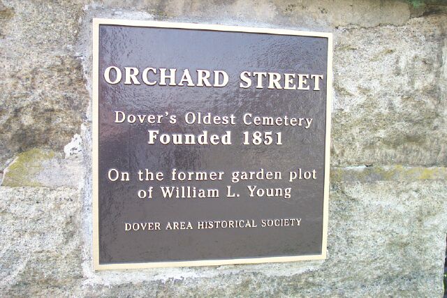
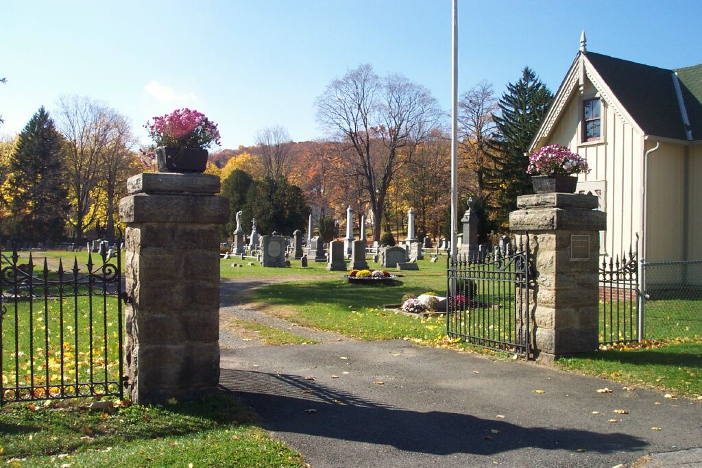
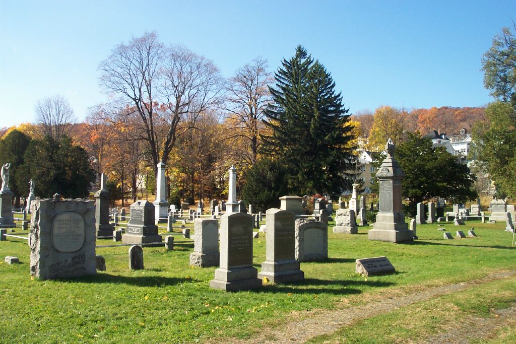
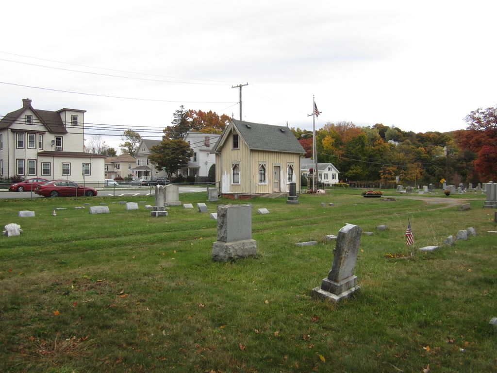
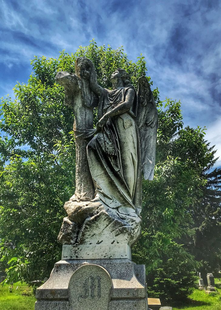
| Description | : | The Orchard Street Cemetery was founded in 1851 and incorporated in 1854. It is the oldest cemetery in Dover and contains the remains from the earlier Morris Street Burying Yard as well as remains from the defunct Grant Street Cemetery of the Swedish Methodist Church. There are 5 War of 1812 veterans, 54 Civil War Veterans, Spanish American War veterans, the namesakes of the American Legions in both Dover and Wharton as well as many other veterans of World Wars I and II and Vietnam. Many of the early town fathers of Dover, Randolph, Port Oram (Wharton),... Read More |
frequently asked questions (FAQ):
-
Where is Orchard Street Cemetery?
Orchard Street Cemetery is located at Dover, Morris County ,New Jersey ,USA.
-
Orchard Street Cemetery cemetery's updated grave count on graveviews.com?
124 memorials
-
Where are the coordinates of the Orchard Street Cemetery?
Latitude: 40.8814011
Longitude: -74.5618973
Nearby Cemetories:
1. Mount Sinai Cemetery
Randolph, Morris County, USA
Coordinate: 40.8713989, -74.5594025
2. Locust Hill Cemetery
Dover, Morris County, USA
Coordinate: 40.8913994, -74.5580978
3. Saint Marys Catholic Church Cemetery
Dover, Morris County, USA
Coordinate: 40.8821983, -74.5785980
4. Old Saint Marys Graveyard
Dover, Morris County, USA
Coordinate: 40.8858650, -74.5778860
5. Saints Peter and Paul Orthodox Cemetery
Dover, Morris County, USA
Coordinate: 40.8659897, -74.5628204
6. Pleasant Hill Cemetery
Randolph, Morris County, USA
Coordinate: 40.8653984, -74.5618820
7. Friends Cemetery
Randolph, Morris County, USA
Coordinate: 40.8649788, -74.5632477
8. Millbrook Methodist Cemetery
Randolph, Morris County, USA
Coordinate: 40.8636017, -74.5573730
9. Saint Cecilia Cemetery
Rockaway, Morris County, USA
Coordinate: 40.9077988, -74.5160980
10. First Presbyterian Church Cemetery
Rockaway, Morris County, USA
Coordinate: 40.9034805, -74.5121765
11. Hill Family Cemetery
Franklin, Morris County, USA
Coordinate: 40.8698616, -74.5055542
12. Walnut Grove Baptist Cemetery
Randolph, Morris County, USA
Coordinate: 40.8282585, -74.5649567
13. Walnut Grove Methodist Episcopal Church Cemetery
Randolph, Morris County, USA
Coordinate: 40.8279190, -74.5656891
14. Walton Family Burial Ground
Rockaway, Morris County, USA
Coordinate: 40.9351100, -74.5530500
15. First Presbyterian Church of Berkshire Valley Ceme
Wharton, Morris County, USA
Coordinate: 40.9311256, -74.5927963
16. Mount Freedom Cemetery
Randolph, Morris County, USA
Coordinate: 40.8272743, -74.5823669
17. Trowbridge Family Farm Cemetery
Morris Township, Morris County, USA
Coordinate: 40.8331630, -74.5232620
18. United Methodist Church Cemetery
Succasunna, Morris County, USA
Coordinate: 40.8683281, -74.6374207
19. Denville Cemetery
Denville, Morris County, USA
Coordinate: 40.8986092, -74.4874344
20. First Presbyterian Church Cemetery
Succasunna, Morris County, USA
Coordinate: 40.8682213, -74.6379700
21. Saint Francis Cemetery
Denville, Morris County, USA
Coordinate: 40.8960991, -74.4703522
22. Mount Freedom Hebrew Cemetery
Mount Freedom, Morris County, USA
Coordinate: 40.8194008, -74.6164017
23. Long-Gordon Burial Ground
Morris County, USA
Coordinate: 40.9463800, -74.6140700
24. Old Rogerene Cemetery
Shore Hills, Morris County, USA
Coordinate: 40.9105000, -74.6553330