
| Memorials | : | 41 |
| Location | : | Oysterville, Pacific County, USA |
| Coordinate | : | 46.5478670, -124.0337350 |
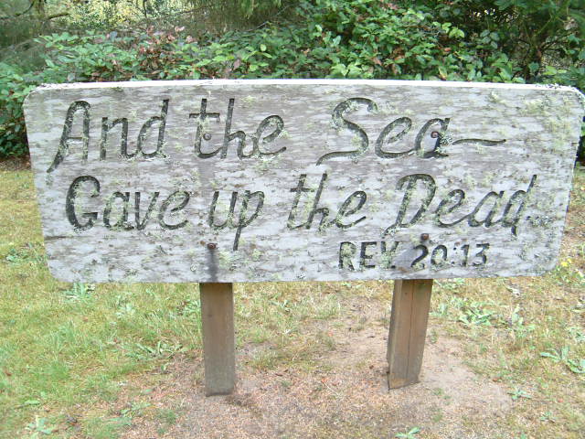
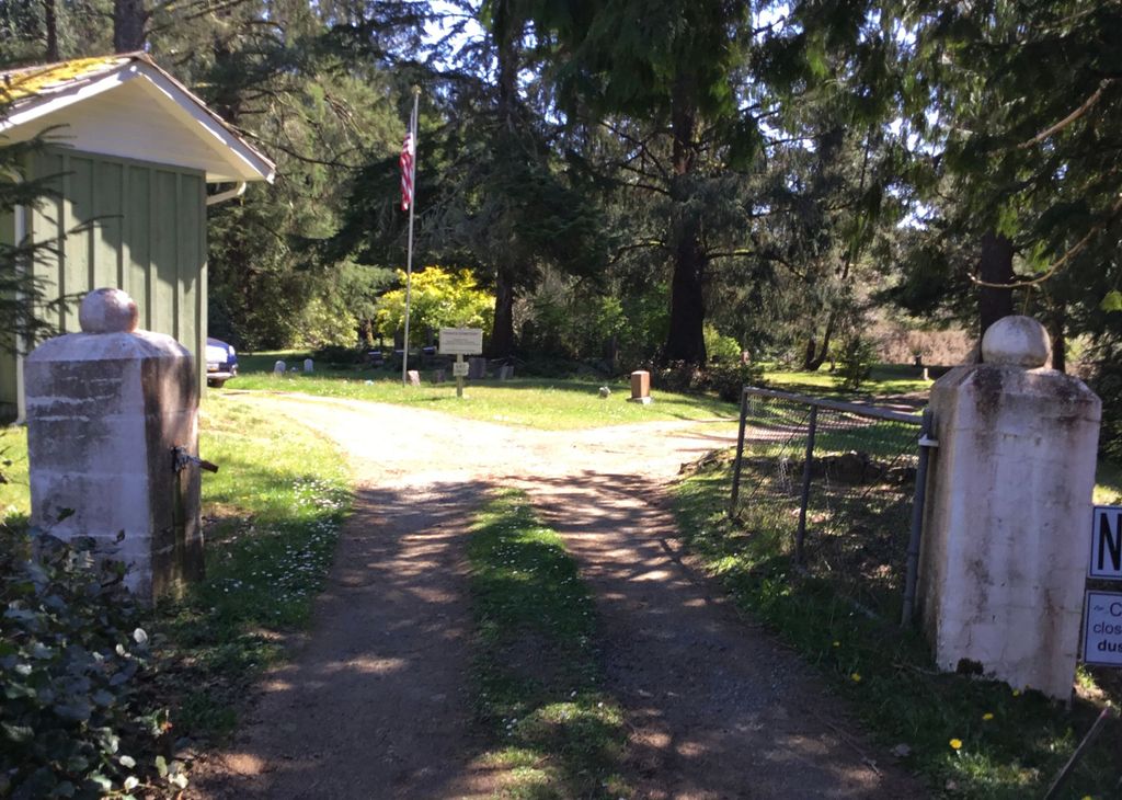
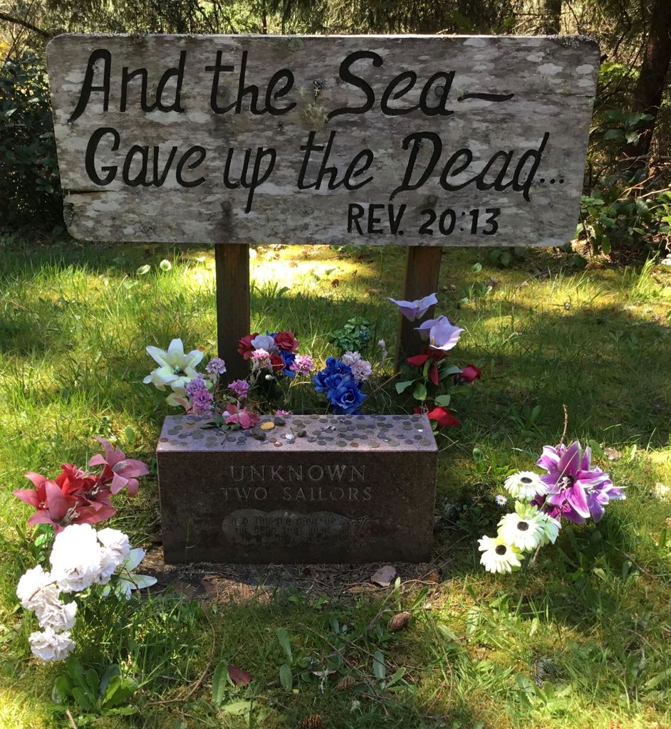
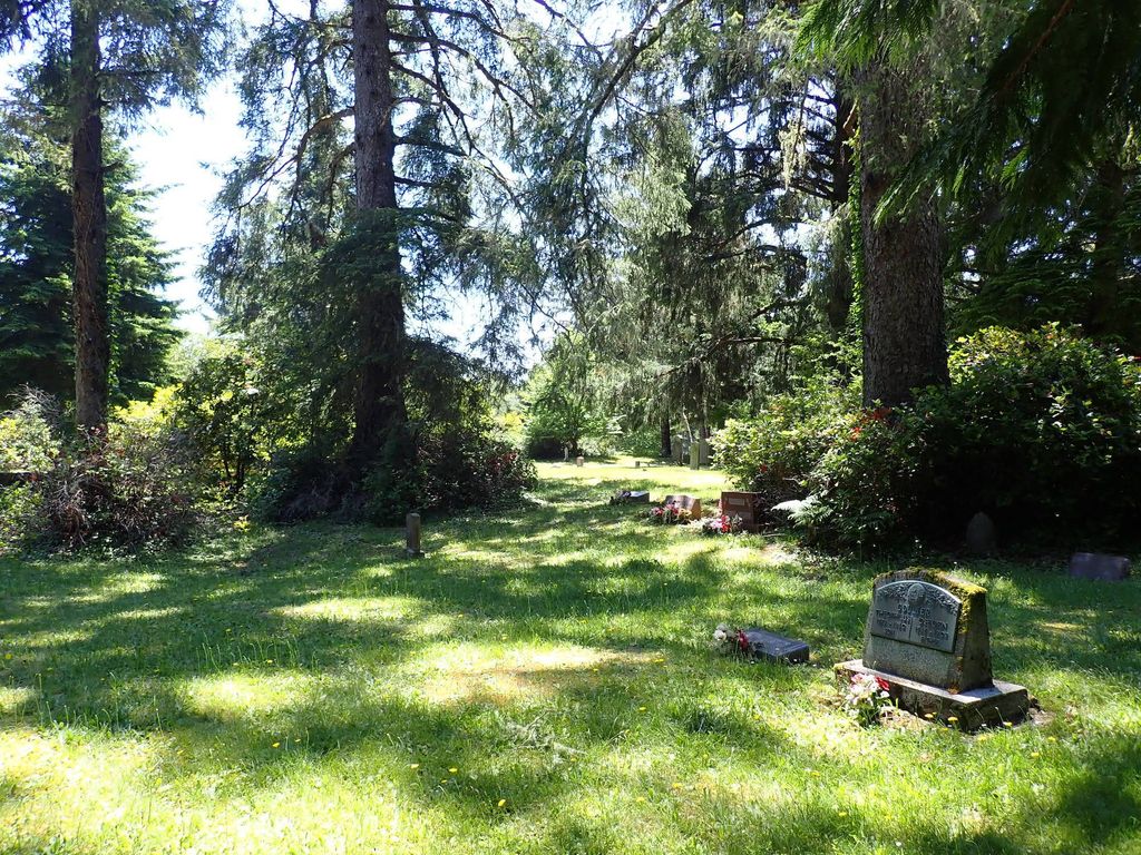
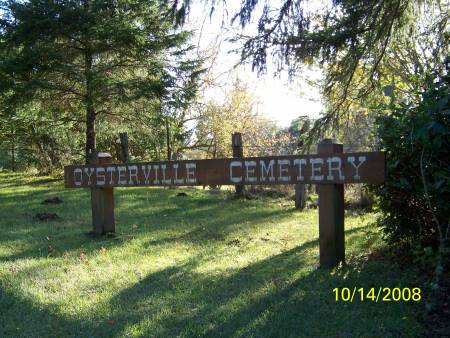
| Description | : | Oysterville Cemetery, one of the oldest cemeteries in Washington State, began in 1858 on land owned by Fernando C. 'F.C.' Davis. Located about a quarter of a mile outside the historic gold-rush boom town of Oysterville, this 2-acre cemetery holds plots for many of the founding families of the area. The history hidden in the headstones of this historic cemetery tells the tale of the Shoalwater Bay Tribe that lived in the Shoalwater Bay region; the first pioneers that came, drawn by the oyster industry; their descendants; and countless lives lost in the treacherous mouth of the Columbia, the Graveyard... Read More |
frequently asked questions (FAQ):
-
Where is Oysterville Cemetery?
Oysterville Cemetery is located at Oysterville, Pacific County ,Washington ,USA.
-
Oysterville Cemetery cemetery's updated grave count on graveviews.com?
41 memorials
-
Where are the coordinates of the Oysterville Cemetery?
Latitude: 46.5478670
Longitude: -124.0337350


Nearby Cemetories:
1. Ocean Park Cemetery
Ocean Park, Pacific County, USA
Coordinate: 46.4903970, -124.0427580
2. Bay Center Cemetery
Bay Center, Pacific County, USA
Coordinate: 46.5986490, -123.9355650
3. Bay Center Pioneer Cemetery
Bay Center, Pacific County, USA
Coordinate: 46.6298850, -123.9538870
4. Wilsonville Cemetery
Pacific County, USA
Coordinate: 46.6379710, -123.9387740
5. Briscoe Family Cemetery
Pacific County, USA
Coordinate: 46.3867690, -124.0541310
6. Shoalwater Bay Indian Tribal Cemetery
Pacific County, USA
Coordinate: 46.7217040, -124.0152920
7. North Cove Pioneer Cemetery
Pacific County, USA
Coordinate: 46.7316620, -124.0594300
8. Lone Fir Cemetery
Long Beach, Pacific County, USA
Coordinate: 46.3622017, -124.0175018
9. Odd Fellows Cemetery
South Bend, Pacific County, USA
Coordinate: 46.6647130, -123.7541360
10. Ilwaco Cemetery
Ilwaco, Pacific County, USA
Coordinate: 46.3180008, -124.0227966
11. Peaceful Hill Cemetery
Naselle, Pacific County, USA
Coordinate: 46.3678017, -123.7994003
12. Riddell Street Cemetery
Raymond, Pacific County, USA
Coordinate: 46.6945200, -123.7358600
13. Washington Cemetery
Raymond, Pacific County, USA
Coordinate: 46.7005997, -123.7319031
14. F O E 1631 Cemetery
Raymond, Pacific County, USA
Coordinate: 46.7006000, -123.7319000
15. Fern Hill Cemetery
Menlo, Pacific County, USA
Coordinate: 46.6338997, -123.6585999
16. Giesy Family Cemetery
Menlo, Pacific County, USA
Coordinate: 46.6446780, -123.6625170
17. Salmon Creek Cemetery
Deep River, Wahkiakum County, USA
Coordinate: 46.3634000, -123.7164000
18. Salmon Creek Cemetery Old
Wahkiakum County, USA
Coordinate: 46.3578630, -123.7178340
19. Deep River Cemetery
Deep River, Wahkiakum County, USA
Coordinate: 46.3587910, -123.6849890
20. Saint Paul Catholic Church
Westport, Grays Harbor County, USA
Coordinate: 46.8583670, -124.0963540
21. Maple Hill Cemetery
Lebam, Pacific County, USA
Coordinate: 46.5653150, -123.5671480
22. Fir Grove Cemetery
Lebam, Pacific County, USA
Coordinate: 46.5604910, -123.5548970
23. Seal River Cemetery
Rosburg, Wahkiakum County, USA
Coordinate: 46.3329210, -123.6600870
24. Ocosta Cemetery
Ocosta, Grays Harbor County, USA
Coordinate: 46.8885890, -124.0291860