
| Memorials | : | 10 |
| Location | : | Palo Verde, Maricopa County, USA |
| Coordinate | : | 33.3494400, -112.6854530 |
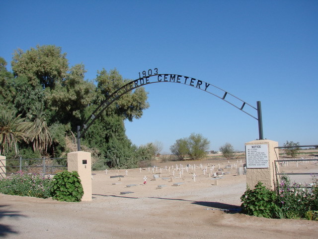
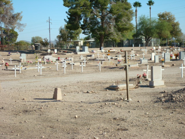
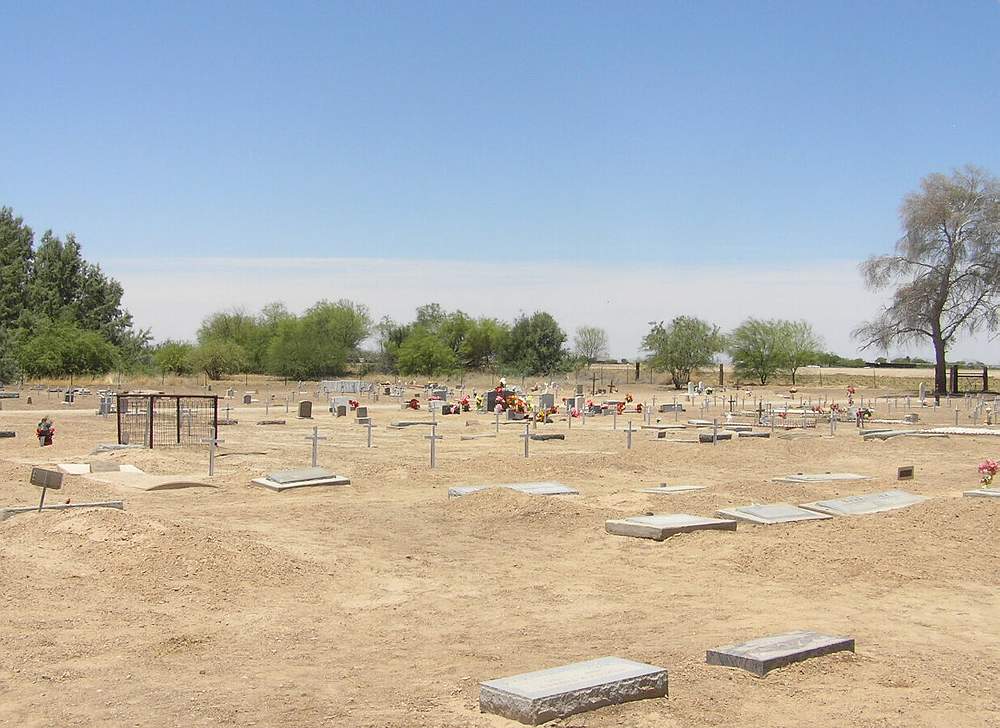
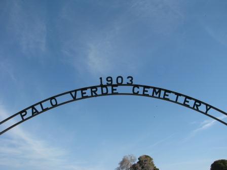
| Description | : | Palo Verde Cemetery is on the grounds of the Palo Verde Baptist Church, seven miles west of Buckeye, AZ. The cemetery was established in 1903. |
frequently asked questions (FAQ):
-
Where is Palo Verde Baptist Church Cemetery?
Palo Verde Baptist Church Cemetery is located at 29600 West Old Hightway 80 Palo Verde, Maricopa County ,Arizona ,USA.
-
Palo Verde Baptist Church Cemetery cemetery's updated grave count on graveviews.com?
8 memorials
-
Where are the coordinates of the Palo Verde Baptist Church Cemetery?
Latitude: 33.3494400
Longitude: -112.6854530
Nearby Cemetories:
1. Louis B Hazelton Memorial Cemetery
Buckeye, Maricopa County, USA
Coordinate: 33.4077988, -112.5460968
2. Liberty Cemetery
Liberty, Maricopa County, USA
Coordinate: 33.3732986, -112.4938965
3. Christ Presbyterian Church Columbarium
Goodyear, Maricopa County, USA
Coordinate: 33.4563280, -112.4083690
4. White Tanks Cemetery
Goodyear, Maricopa County, USA
Coordinate: 33.5117280, -112.4022230
5. Church at Litchfield Park Garden of Memories
Litchfield Park, Maricopa County, USA
Coordinate: 33.4964000, -112.3586000
6. Goodyear Farms Historic Cemetery
Litchfield Park, Maricopa County, USA
Coordinate: 33.4901490, -112.3329520
7. Holy Cross Cemetery
Avondale, Maricopa County, USA
Coordinate: 33.4767890, -112.2775830
8. Maricopa Cemetery
Laveen, Maricopa County, USA
Coordinate: 33.3633003, -112.2219009
9. Bosque Cemetery
Maricopa County, USA
Coordinate: 32.9738998, -112.5627975
10. Shepherd of the Desert Lutheran Church Columbarium
Sun City, Maricopa County, USA
Coordinate: 33.5842890, -112.2981500
11. Hee-A-Han Park
Gila Bend, Maricopa County, USA
Coordinate: 32.9502983, -112.7146988
12. First United Methodist Church Columbarium
Sun City, Maricopa County, USA
Coordinate: 33.5740210, -112.2861820
13. Sunwest Cemetery
El Mirage, Maricopa County, USA
Coordinate: 33.6222140, -112.3304200
14. Our Savior Lutheran Church Columbarium
Sun City, Maricopa County, USA
Coordinate: 33.5734230, -112.2804520
15. Saint Christopher Episcopal Church Memorial Garden
Sun City, Maricopa County, USA
Coordinate: 33.5796000, -112.2809000
16. Camino del Sol Mortuary Columbarium
Sun City West, Maricopa County, USA
Coordinate: 33.6554000, -112.3585000
17. Crown of Life Lutheran Church Memorial Garden
Sun City West, Maricopa County, USA
Coordinate: 33.6467070, -112.3409990
18. Church of the Advent Memorial Garden
Sun City West, Maricopa County, USA
Coordinate: 33.6468000, -112.3411000
19. Co-op Village Cemetery
Maricopa Village, Maricopa County, USA
Coordinate: 33.3272018, -112.1911011
20. Lord of Life Lutheran Church Memorial Columbarium
Sun City West, Maricopa County, USA
Coordinate: 33.6633000, -112.3587000
21. Shepherd of the Hills United Methodist Columbarium
Sun City West, Maricopa County, USA
Coordinate: 33.6659000, -112.3577000
22. Pioneer Cemetery
Gila Bend, Maricopa County, USA
Coordinate: 32.9304080, -112.7187820
23. Desert Garden United Church Columbarium
Sun City West, Maricopa County, USA
Coordinate: 33.6530000, -112.3342000
24. Garden of Memories Columbarium and Garden
Peoria, Maricopa County, USA
Coordinate: 33.5814000, -112.2623000