
| Memorials | : | 0 |
| Location | : | Randolph County, USA |
| Coordinate | : | 33.2083520, -85.2531380 |
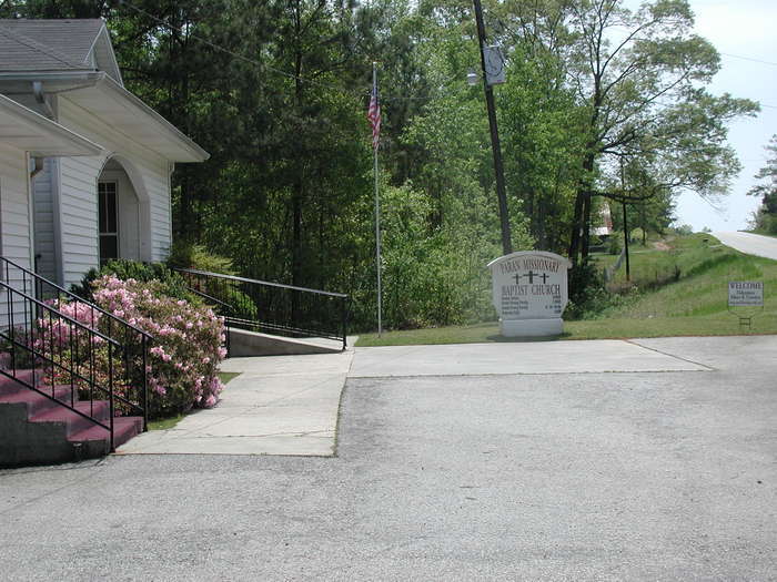
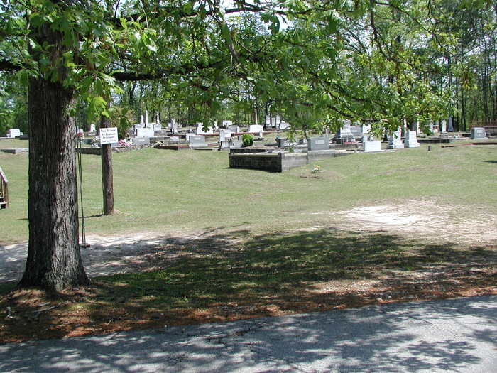
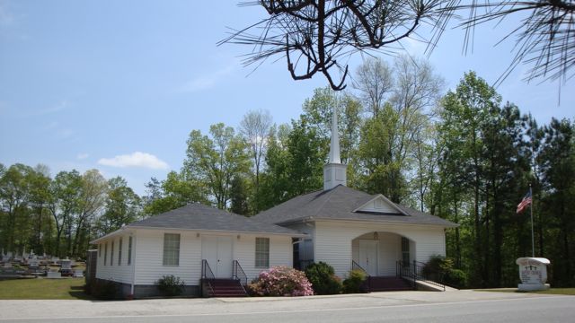
| Description | : | Township 21, Range 13, Section 11/12; Randolph County, AL; State Highway 22, toward Franklin, GA, 1/4 mile before the Georgia Line. Surveyed January 2003 by Linda Ayres. |
frequently asked questions (FAQ):
-
Where is Paran Missionary Baptist Church Cemetery?
Paran Missionary Baptist Church Cemetery is located at Randolph County ,Alabama ,USA.
-
Paran Missionary Baptist Church Cemetery cemetery's updated grave count on graveviews.com?
0 memorials
-
Where are the coordinates of the Paran Missionary Baptist Church Cemetery?
Latitude: 33.2083520
Longitude: -85.2531380
Nearby Cemetories:
1. Allen Cemetery
Heard County, USA
Coordinate: 33.2127991, -85.2249985
2. Pittman Cemetery
Heard County, USA
Coordinate: 33.1866989, -85.2394028
3. Canaan Baptist Church Cemetery
Heard County, USA
Coordinate: 33.2289850, -85.2360280
4. Lee Family Cemetery
Rock Mills, Randolph County, USA
Coordinate: 33.2107200, -85.2834300
5. Bethel Christian Church Cemetery
Franklin, Heard County, USA
Coordinate: 33.2181015, -85.2244034
6. Old Lee Family Cemetery
Rock Mills, Randolph County, USA
Coordinate: 33.2188200, -85.2846000
7. Brown Cemetery
Heard County, USA
Coordinate: 33.1871986, -85.2244034
8. Cooper Cemetery
Heard County, USA
Coordinate: 33.2380981, -85.2322006
9. Lewis Cemetery
Heard County, USA
Coordinate: 33.1727982, -85.2305984
10. Wehadkee Primitive Baptist Church Cemetery
Rock Mills, Randolph County, USA
Coordinate: 33.1694120, -85.2806240
11. Pittman Family Cemetery
Randolph County, USA
Coordinate: 33.2203000, -85.3095300
12. Bethany Lime Cemetery
Randolph County, USA
Coordinate: 33.1579680, -85.2596960
13. Rock Mills Cemetery
Rock Mills, Randolph County, USA
Coordinate: 33.1644300, -85.2848000
14. Union Grove Cemetery
Heard County, USA
Coordinate: 33.2038994, -85.1903000
15. Springfield Baptist Church Cemetery
Springfield, Randolph County, USA
Coordinate: 33.2129900, -85.3164140
16. Forest Home Christian Church Cemetery
Springfield, Randolph County, USA
Coordinate: 33.1927400, -85.3155500
17. Prospect Cemetery
Franklin, Heard County, USA
Coordinate: 33.2407990, -85.2003021
18. Springfield Methodist Church Cemetery
Randolph County, USA
Coordinate: 33.2120830, -85.3185290
19. Stateline Baptist Church Cemetery
Glenn, Heard County, USA
Coordinate: 33.1660240, -85.2071210
20. Pike Family Cemetery
Randolph County, USA
Coordinate: 33.1960270, -85.3199710
21. State Line Cemetery
Heard County, USA
Coordinate: 33.1657982, -85.2069016
22. James Cemetery
Heard County, USA
Coordinate: 33.2489014, -85.2024994
23. Beulah Baptist Church Cemetery
Roanoke, Randolph County, USA
Coordinate: 33.2667007, -85.2630997
24. Pleasant Grove Cemetery
Heard County, USA
Coordinate: 33.1528015, -85.2294006