| Memorials | : | 0 |
| Location | : | East Bernstadt, Laurel County, USA |
| Coordinate | : | 37.2952840, -84.0977210 |
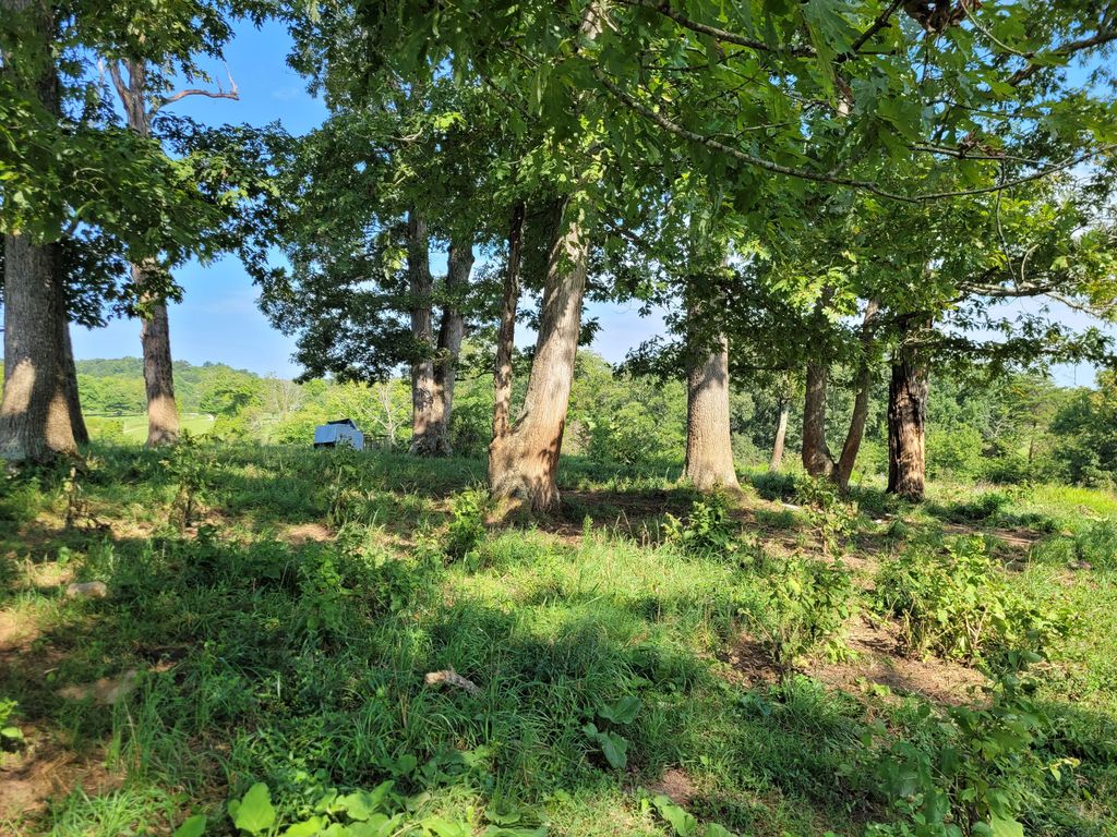
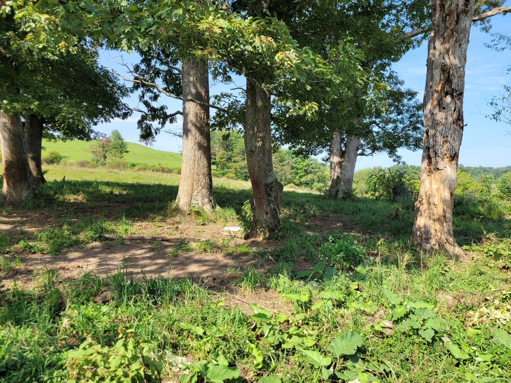
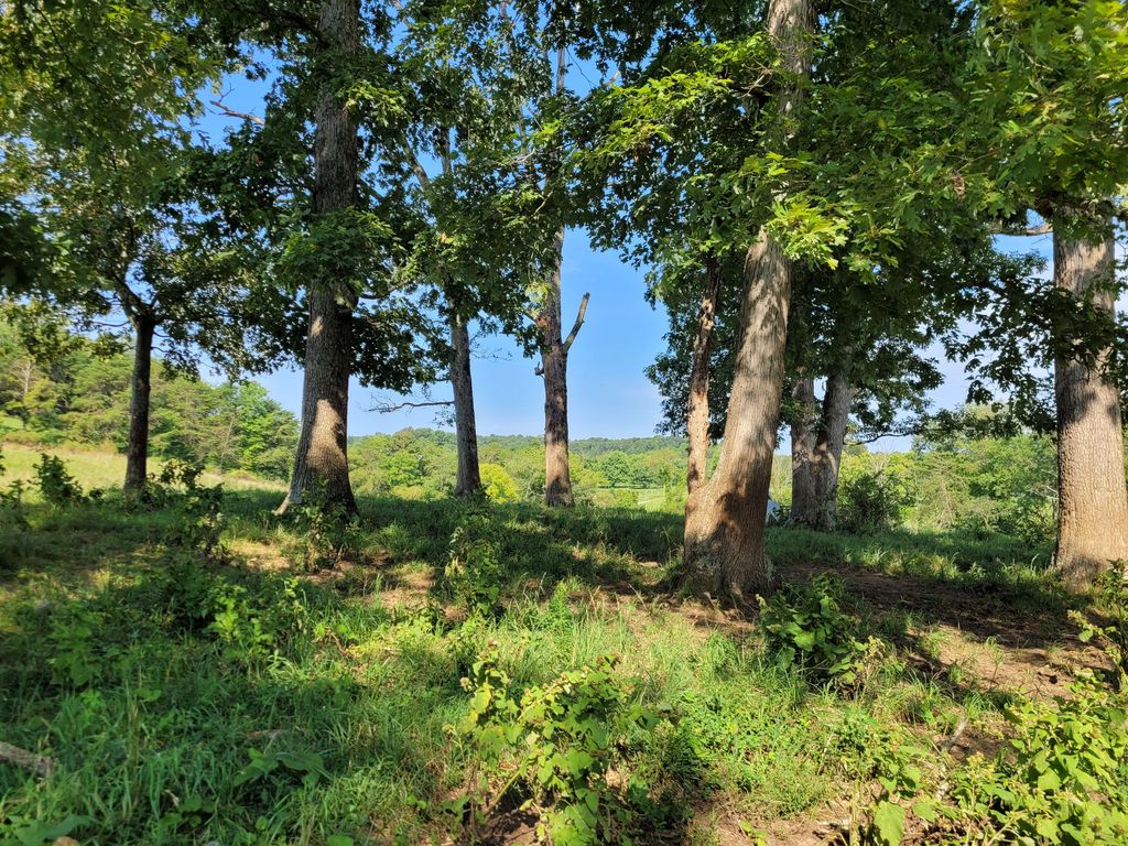
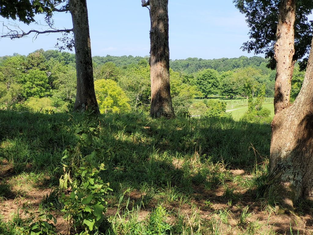
| Description | : | Directions: Cemetery is on private property. From London, traveling North on US 25, turn right onto KY 490. Go 8.6 miles and turn right on KY 1228. Go 0.1 mile and turn right on Mt Zion Road. Go 1.6 mile and turn left onto River Hill Church Road. Go 0.1 mile and park, as the cemetery is to the right in a field. The cemetery is in a grove of trees beside a pond. Description: The cemetery is inactive. Information on the burials is taken from historical records from Laurel Co Historical Society cemetery guides. Over a number of years, the gravestones and... Read More |
frequently asked questions (FAQ):
-
Where is Parker Family Cemetery?
Parker Family Cemetery is located at East Bernstadt, Laurel County ,Kentucky ,USA.
-
Parker Family Cemetery cemetery's updated grave count on graveviews.com?
0 memorials
-
Where are the coordinates of the Parker Family Cemetery?
Latitude: 37.2952840
Longitude: -84.0977210
Nearby Cemetories:
1. Mount Zion Cemetery
East Bernstadt, Laurel County, USA
Coordinate: 37.2896996, -84.0916977
2. Cunagin Cemetery
Eberle, Jackson County, USA
Coordinate: 37.3082400, -84.0971300
3. Wathen Cemetery
Cornette, Laurel County, USA
Coordinate: 37.2978530, -84.1208420
4. Branstetter Cemetery
Cornette, Laurel County, USA
Coordinate: 37.3123750, -84.1085050
5. Cornelius-Baldwin Cemetery
Jackson County, USA
Coordinate: 37.2845250, -84.0760200
6. Money Family Cemetery
East Bernstadt, Laurel County, USA
Coordinate: 37.2747400, -84.1005300
7. Gabbard-Sparks Cemetery
Eberle, Jackson County, USA
Coordinate: 37.2972400, -84.0671000
8. Nantz Family Cemetery
East Bernstadt, Laurel County, USA
Coordinate: 37.3007850, -84.1292650
9. Nelson Cemetery
East Bernstadt, Laurel County, USA
Coordinate: 37.2739000, -84.1167000
10. Noe Cemetery
Lamero, Laurel County, USA
Coordinate: 37.3010730, -84.1298800
11. River Hill Cemetery
East Bernstadt, Laurel County, USA
Coordinate: 37.3110800, -84.1255100
12. Ball - Browning Cemetery
Laurel County, USA
Coordinate: 37.2792200, -84.0683800
13. Combs Family Cemetery
Laurel County, USA
Coordinate: 37.3191720, -84.1206330
14. Ball-McQueen Cemetery
East Bernstadt, Laurel County, USA
Coordinate: 37.2719390, -84.0708910
15. Brummett Cemetery
East Bernstadt, Laurel County, USA
Coordinate: 37.2671810, -84.1244580
16. River Hill Church Cemetery
East Bernstadt, Laurel County, USA
Coordinate: 37.2575400, -84.1036020
17. Pilgrims Rest Cemetery
East Bernstadt, Laurel County, USA
Coordinate: 37.2652300, -84.1296600
18. McDaniel Cemetery
East Bernstadt, Laurel County, USA
Coordinate: 37.2568240, -84.0765120
19. Cawood Family Cemetery
East Bernstadt, Laurel County, USA
Coordinate: 37.2735300, -84.1462840
20. Robinson Cemetery
Hazel Patch, Laurel County, USA
Coordinate: 37.2989006, -84.1616974
21. Reynolds Cemetery
East Bernstadt, Laurel County, USA
Coordinate: 37.2455820, -84.0733450
22. House Cemetery
Greenmount, Laurel County, USA
Coordinate: 37.2518725, -84.0551360
23. Farris Cemetery
East Bernstadt, Laurel County, USA
Coordinate: 37.2411000, -84.0807600
24. Elza-Swanner Cemetery
Greenmount, Laurel County, USA
Coordinate: 37.2471600, -84.0570500


