| Memorials | : | 0 |
| Location | : | Parkland, Douglas County, USA |
| Coordinate | : | 46.6522900, -92.0117600 |
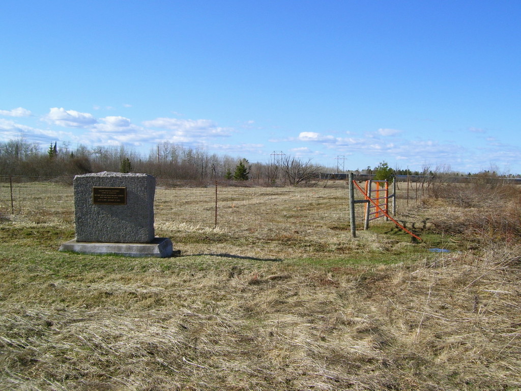
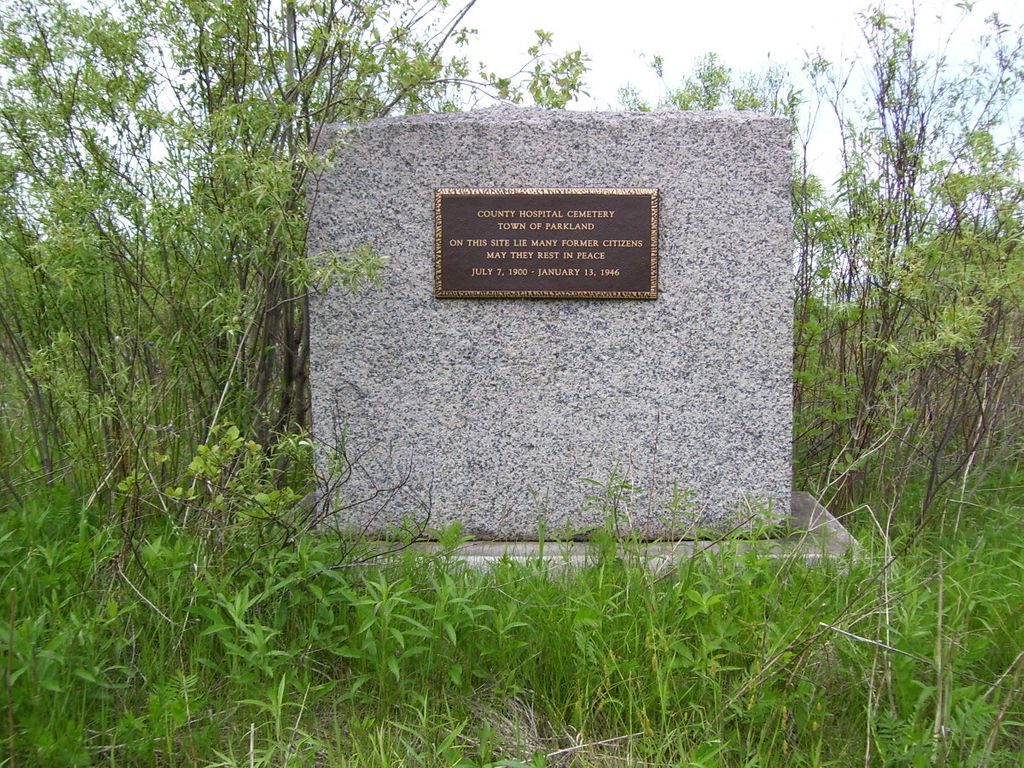
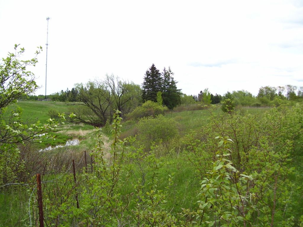
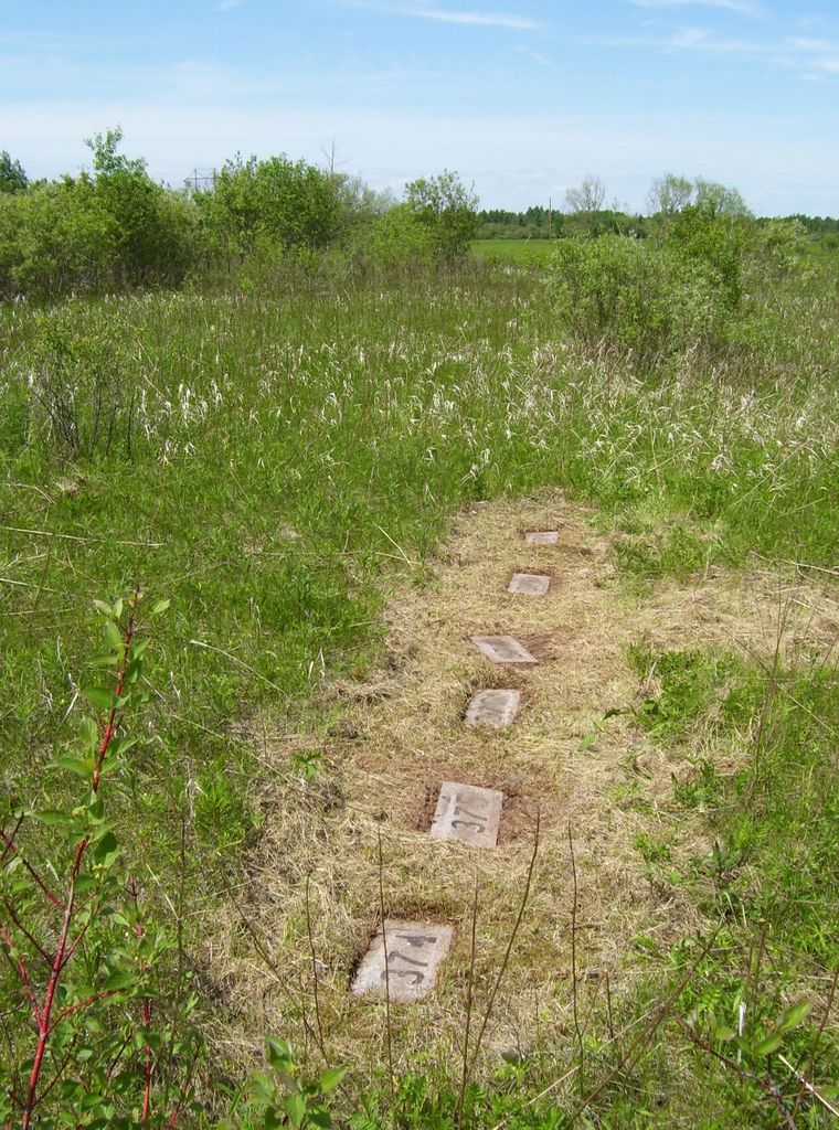
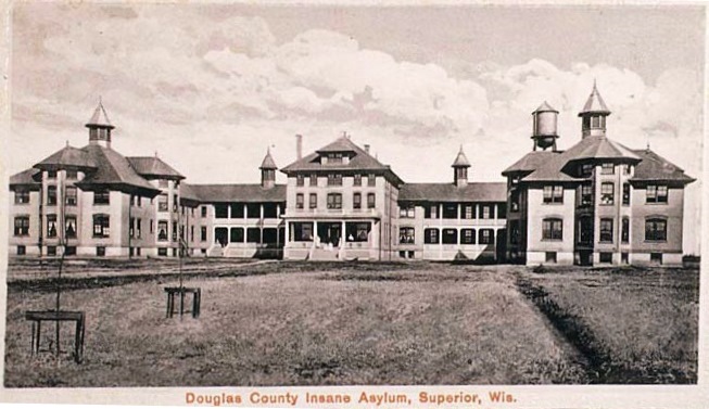
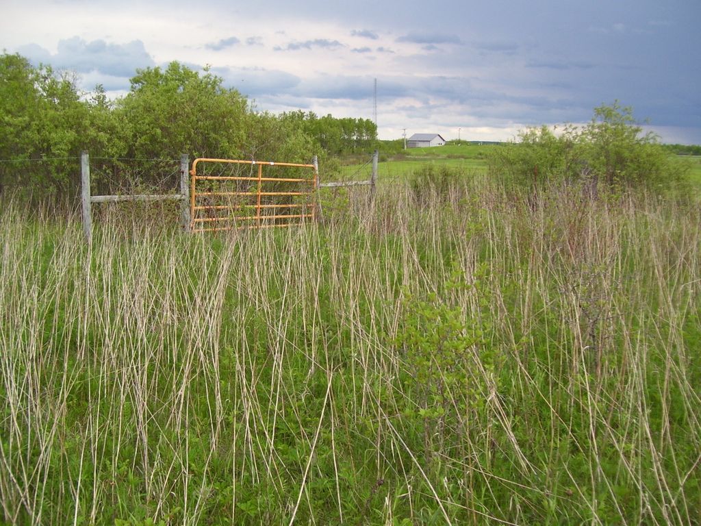
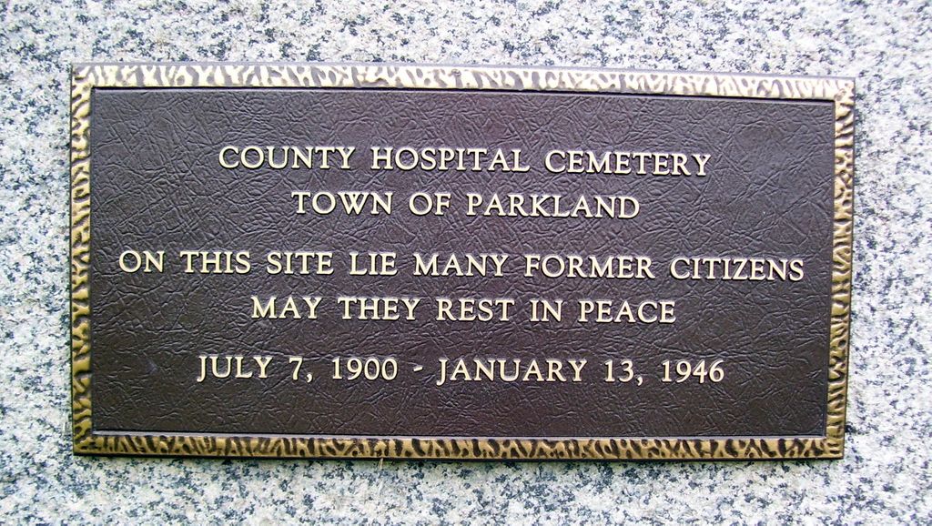
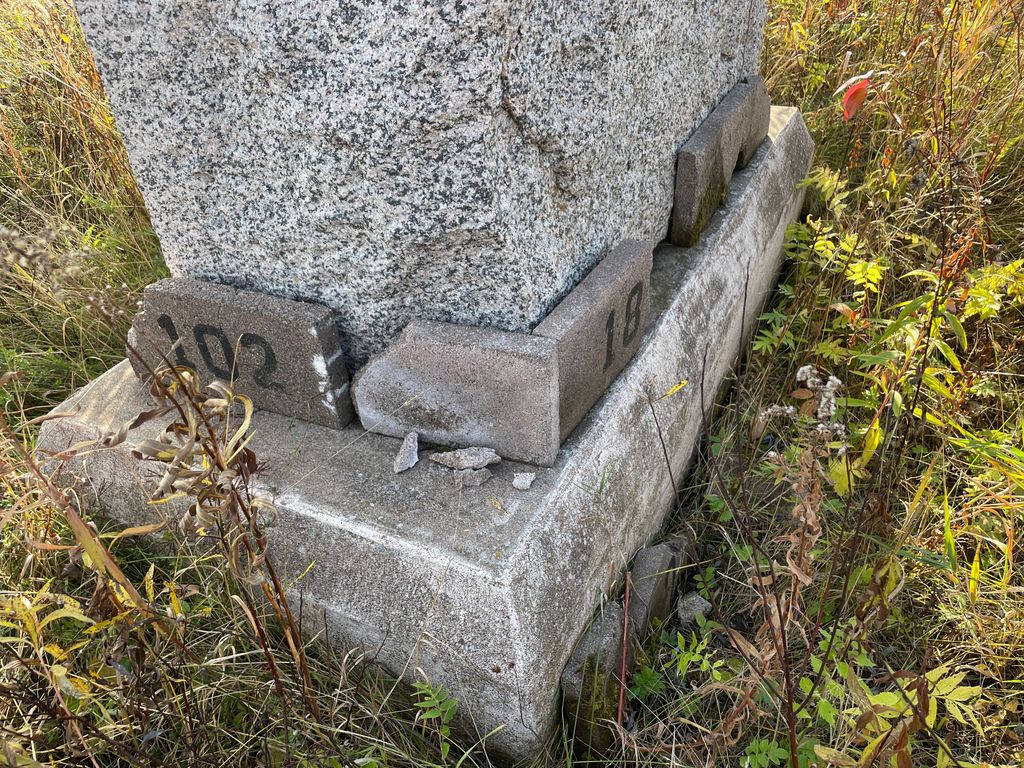
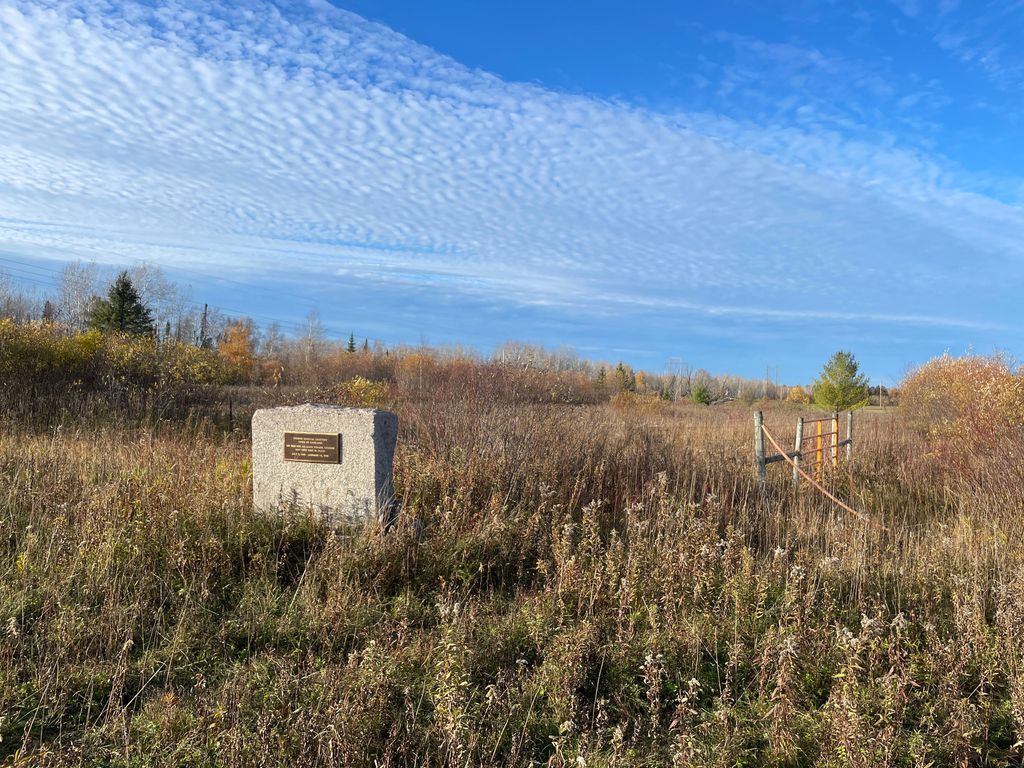
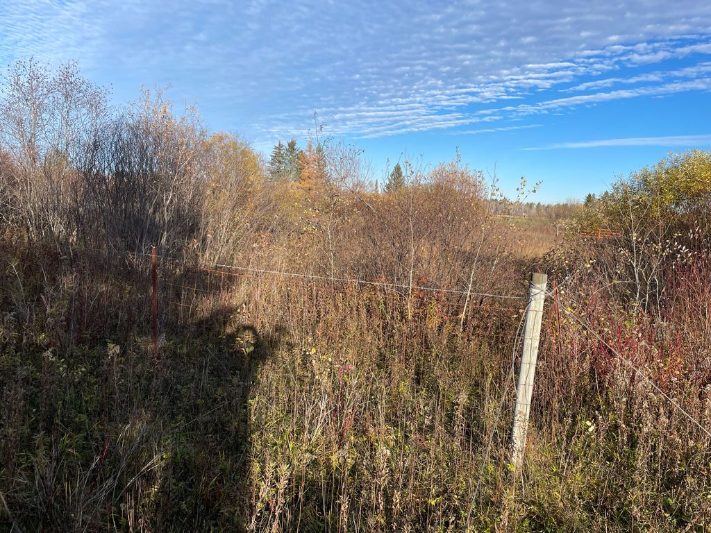
| Description | : | The cemetery is located behind the former Parkland Health Facility (the building no longer there). Also known as Parkland Cemetery, Asylum Cemetery, Poor Farm Cemetery & Potters Field. There are more than 1000 graves in this cemetery. No grave markers are visible above ground, all surviving markers seem to be universal, concrete blocks w/ numbers painted on them. These markers are all horizontal/flat & below the surface, covered by many years of nature & neglect. There is no known map showing plot placements or general layout for this cemetery. The cemetery is located approximately three quarter of a mile west of... Read More |
frequently asked questions (FAQ):
-
Where is Parkland Cemetery?
Parkland Cemetery is located at County Highway Z Parkland, Douglas County ,Wisconsin ,USA.
-
Parkland Cemetery cemetery's updated grave count on graveviews.com?
0 memorials
-
Where are the coordinates of the Parkland Cemetery?
Latitude: 46.6522900
Longitude: -92.0117600
Nearby Cemetories:
1. Woodlawn Cemetery
Ambridge, Douglas County, USA
Coordinate: 46.6539001, -92.0453033
2. Saint Francis Cemetery
Superior, Douglas County, USA
Coordinate: 46.6906013, -92.0438995
3. Nemadji Cemetery
Superior, Douglas County, USA
Coordinate: 46.6917000, -92.0432968
4. Christ Lutheran Memorial Garden
Superior, Douglas County, USA
Coordinate: 46.7053620, -92.0631480
5. Greenwood Cemetery
Superior, Douglas County, USA
Coordinate: 46.6347008, -92.1072006
6. Graceland Cemetery
Superior Village, Douglas County, USA
Coordinate: 46.6601720, -92.1209400
7. Hebrew Cemetery
Superior, Douglas County, USA
Coordinate: 46.6575012, -92.1216965
8. Riverside Cemetery
Superior, Douglas County, USA
Coordinate: 46.6617012, -92.1213989
9. Calvary Cemetery
Superior, Douglas County, USA
Coordinate: 46.6631012, -92.1256027
10. Lakeside Cemetery
Wentworth, Douglas County, USA
Coordinate: 46.6488991, -91.8063965
11. Enger Tower
Duluth, St. Louis County, USA
Coordinate: 46.7760500, -92.1247900
12. Oneota Cemetery
Duluth, St. Louis County, USA
Coordinate: 46.7503014, -92.1828003
13. Saint Pauls Episcopal Church Columbarium
Duluth, St. Louis County, USA
Coordinate: 46.8032470, -92.0760260
14. Scandia Cemetery
Duluth, St. Louis County, USA
Coordinate: 46.8145000, -92.0529900
15. Poplar Cemetery
Poplar, Douglas County, USA
Coordinate: 46.5802994, -91.7956009
16. Gethsemane Cemetery
Duluth, St. Louis County, USA
Coordinate: 46.8153000, -92.1102982
17. Saint William Cemetery
Foxboro, Douglas County, USA
Coordinate: 46.5110500, -92.1724200
18. Parkview Cemetery
Hawthorne, Douglas County, USA
Coordinate: 46.5008011, -91.8711014
19. Greenwood Cemetery
Duluth, St. Louis County, USA
Coordinate: 46.8151240, -92.1263840
20. Glen Avon Memorial Garden
Duluth, St. Louis County, USA
Coordinate: 46.8297220, -92.0721880
21. Mission Creek Native American Cemetery
Duluth, St. Louis County, USA
Coordinate: 46.6610510, -92.2775800
22. Old Parkview Cemetery
Hawthorne, Douglas County, USA
Coordinate: 46.4996920, -91.8615820
23. Bethany Cemetery
Duluth, St. Louis County, USA
Coordinate: 46.7872009, -92.1988983
24. Park Hill Cemetery
Duluth, St. Louis County, USA
Coordinate: 46.8366700, -92.0666800

