
| Memorials | : | 2 |
| Location | : | Huntingdale, Henry County, USA |
| Coordinate | : | 38.4742012, -93.8249969 |
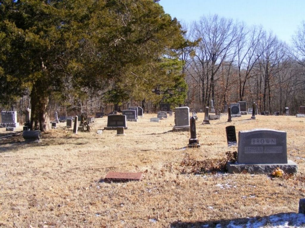
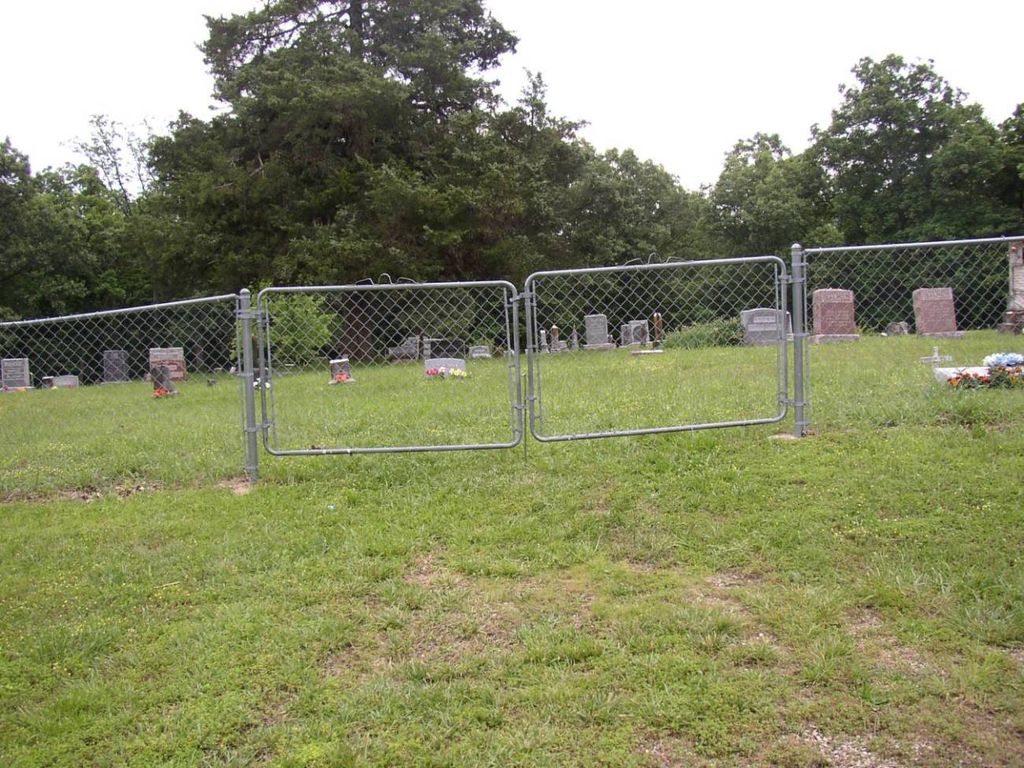
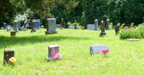
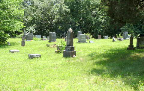
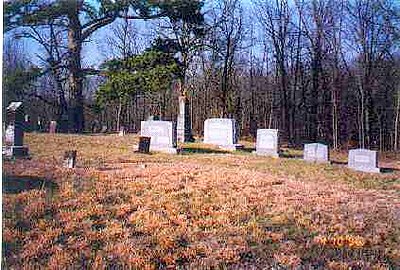
| Description | : | Directions: 1/2 mile west and 1/8 mile south of Huntingdale. Condition: Well kept and active. History: Squire William Paul donated the land, deed filed Aug 25 1883 - "an acre near the SE corner of the NW 1/4 of the NW 1/4 of S32, R26, T43, to be used as a buring ground to be held and under their controle to be used exclusively to bury white persons in, trustees: John H. Moore, George W. Gilbert and Samuel M. Brown." |
frequently asked questions (FAQ):
-
Where is Paul Cemetery?
Paul Cemetery is located at 386 NW 800 Rd Huntingdale, Henry County ,Missouri ,USA.
-
Paul Cemetery cemetery's updated grave count on graveviews.com?
2 memorials
-
Where are the coordinates of the Paul Cemetery?
Latitude: 38.4742012
Longitude: -93.8249969
Nearby Cemetories:
1. Page Cemetery
Huntingdale, Henry County, USA
Coordinate: 38.4749718, -93.8195114
2. Freeman Cemetery
Huntingdale, Henry County, USA
Coordinate: 38.4846992, -93.8208008
3. Spangler Cemetery
Clinton, Henry County, USA
Coordinate: 38.4515050, -93.7755080
4. Carrsville Cemetery
Petersburg, Henry County, USA
Coordinate: 38.5163994, -93.8486023
5. Salem Church Cemetery
Norris, Henry County, USA
Coordinate: 38.4852982, -93.8827972
6. Aaron Morgan Cemetery
Henry County, USA
Coordinate: 38.4639015, -93.8831024
7. Ross Cemetery
Blairstown, Henry County, USA
Coordinate: 38.4921913, -93.8904877
8. Shawnee Mound Cemetery
Clinton, Henry County, USA
Coordinate: 38.5241814, -93.7659683
9. Fields Creek Cemetery
Clinton, Henry County, USA
Coordinate: 38.4039001, -93.8208008
10. Norris Cemetery
Hartwell, Henry County, USA
Coordinate: 38.4636002, -93.9291992
11. Antioch Cemetery
Clinton, Henry County, USA
Coordinate: 38.3958015, -93.7733002
12. Brown Cemetery
Leesville, Henry County, USA
Coordinate: 38.4808998, -93.7123032
13. Brown Cemetery
Henry County, USA
Coordinate: 38.4809000, -93.7123000
14. Wade Cemetery
Henry County, USA
Coordinate: 38.5307999, -93.7181015
15. Vansant Road Cemetery
Clinton, Henry County, USA
Coordinate: 38.3897310, -93.7452650
16. Hickory Grove Cemetery
Tebo Township, Henry County, USA
Coordinate: 38.5231000, -93.7017000
17. Carpenter Cemetery
Chilhowee, Johnson County, USA
Coordinate: 38.5705986, -93.8918991
18. Oak Grove Cemetery
Clinton, Henry County, USA
Coordinate: 38.3678017, -93.7844009
19. Lewis Station Cemetery
Lewis, Henry County, USA
Coordinate: 38.4399400, -93.6898400
20. Chilhowee Cemetery
Chilhowee, Johnson County, USA
Coordinate: 38.5881004, -93.8521271
21. Deer Creek Cemetery
Lewis, Henry County, USA
Coordinate: 38.4007850, -93.7081040
22. Lewis Cemetery
Tebo Township, Henry County, USA
Coordinate: 38.5210991, -93.6757965
23. Fox Cemetery
Henry County, USA
Coordinate: 38.5509834, -93.9526749
24. Dunning Cemetery
Clinton, Henry County, USA
Coordinate: 38.3636703, -93.7436218