
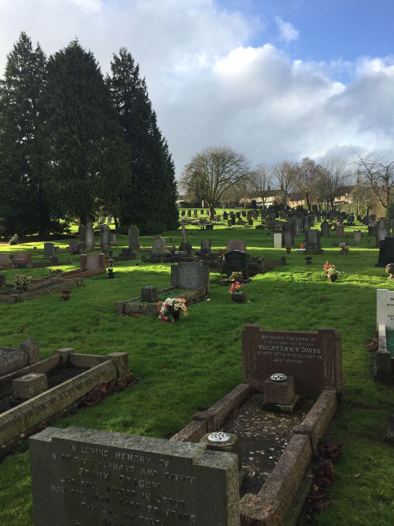
| Memorials | : | 0 |
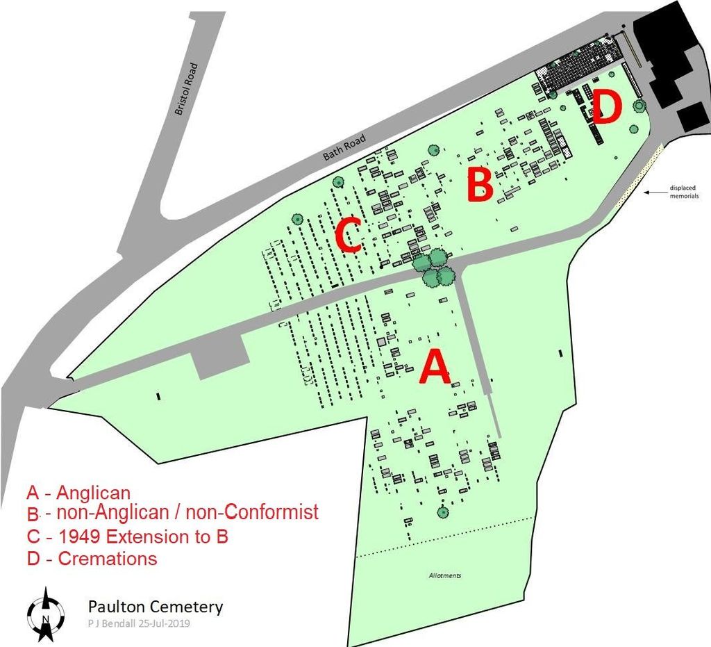
| Location | : | Paulton, Bath and North East Somerset Unitary Authority, England |
| Coordinate | : | 51.3095671, -2.4988841 |
| Description | : | Council run cemetery with responsibility by Paulson Parish Council. |
frequently asked questions (FAQ):
-
Where is Paulton Cemetery?
Paulton Cemetery is located at Bath Road Paulton, Bath and North East Somerset Unitary Authority ,Somerset , BS39 7NYEngland.
-
Paulton Cemetery cemetery's updated grave count on graveviews.com?
0 memorials
-
Where are the coordinates of the Paulton Cemetery?
Latitude: 51.3095671
Longitude: -2.4988841
Nearby Cemetories:
1. Church of the Holy Trinity
Paulton, Bath and North East Somerset Unitary Authority, England
Coordinate: 51.3074740, -2.5033500
2. Holy Trinity Churchyard
High Littleton, Bath and North East Somerset Unitary Authority, England
Coordinate: 51.3195810, -2.5115860
3. St. John the Baptist Churchyard
Farrington Gurney, Bath and North East Somerset Unitary Authority, England
Coordinate: 51.2993710, -2.5248000
4. Blessed Virgin Mary Churchyard
Timsbury, Bath and North East Somerset Unitary Authority, England
Coordinate: 51.3257710, -2.4782750
5. St Mary Church Cemetery
Timsbury, Bath and North East Somerset Unitary Authority, England
Coordinate: 51.3268300, -2.4784070
6. St. John the Baptist Churchyard
Midsomer Norton, Bath and North East Somerset Unitary Authority, England
Coordinate: 51.2870310, -2.4842190
7. Holy Trinity Churchyard
Clandown, Bath and North East Somerset Unitary Authority, England
Coordinate: 51.3024050, -2.4611700
8. St. Peter's Churchyard
Camerton, Bath and North East Somerset Unitary Authority, England
Coordinate: 51.3150300, -2.4503700
9. Saint Augustine of Hippo
Clutton, Bath and North East Somerset Unitary Authority, England
Coordinate: 51.3281990, -2.5430220
10. All Saints Churchyard
Farmborough, Bath and North East Somerset Unitary Authority, England
Coordinate: 51.3430620, -2.4876590
11. St. Nicholas' Churchyard
Radstock, Bath and North East Somerset Unitary Authority, England
Coordinate: 51.2900740, -2.4488510
12. St. James' Churchyard
Cameley, Bath and North East Somerset Unitary Authority, England
Coordinate: 51.3158560, -2.5606190
13. St Mary The Virgin Churchyard
Ston Easton, Mendip District, England
Coordinate: 51.2788400, -2.5404390
14. Saint Mary the Virgin Church
Ston Easton, Mendip District, England
Coordinate: 51.2789610, -2.5407720
15. St John the Baptist Church Cemetery
Chilcompton, Mendip District, England
Coordinate: 51.2693960, -2.5073780
16. St. John the Baptist Churchyard
Peasedown St John, Bath and North East Somerset Unitary Authority, England
Coordinate: 51.3164630, -2.4327370
17. Saint Leonard Churchyard
Chelwood, Bath and North East Somerset Unitary Authority, England
Coordinate: 51.3546300, -2.5246880
18. Saint Luke & Saint Andrew
Priston, Bath and North East Somerset Unitary Authority, England
Coordinate: 51.3419170, -2.4421910
19. St. Mary Magdalene Churchyard
Writhlington, Bath and North East Somerset Unitary Authority, England
Coordinate: 51.2938240, -2.4262230
20. Withyditch Baptist Chapel
Bath, Bath and North East Somerset Unitary Authority, England
Coordinate: 51.3328833, -2.4273859
21. St. Peter's Church Cemetery
Marksbury, Bath and North East Somerset Unitary Authority, England
Coordinate: 51.3591670, -2.4802780
22. St Margarets Churchyard
Hinton Blewett, Bath and North East Somerset Unitary Authority, England
Coordinate: 51.3104000, -2.5834000
23. Ashgrove Cemetery
Peasedown St John, Bath and North East Somerset Unitary Authority, England
Coordinate: 51.3181600, -2.4150760
24. St. Benedict's Churchyard
Stratton-on-the-Fosse, Mendip District, England
Coordinate: 51.2560684, -2.4913545