
| Memorials | : | 0 |
| Location | : | Graham Hill, Henderson County, USA |
| Coordinate | : | 37.8240800, -87.5368200 |
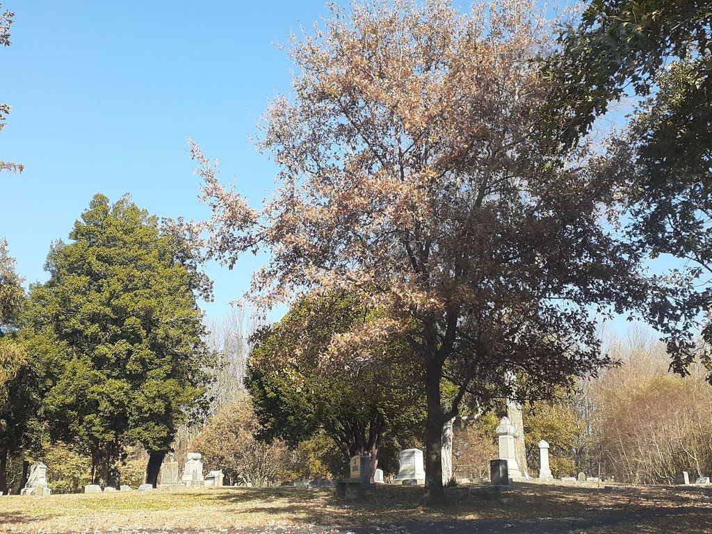
| Description | : | This cemetery is said to lie next to Mount Pisgah Cemetery in Graham Hill - in the woods to the right of the cemetery. Every cemetery (or close to every cemetery) has their own 'pauper section.' In Fernwood, that is called 'Public Ground.' But this Pauper Graveyard is quite literally a graveyard that only paupers are buried. |
frequently asked questions (FAQ):
-
Where is Pauper Cemetery?
Pauper Cemetery is located at Graham Hill, Henderson County ,Kentucky ,USA.
-
Pauper Cemetery cemetery's updated grave count on graveviews.com?
0 memorials
-
Where are the coordinates of the Pauper Cemetery?
Latitude: 37.8240800
Longitude: -87.5368200
Nearby Cemetories:
1. Mount Pisgah Cemetery
Henderson County, USA
Coordinate: 37.8241997, -87.5366974
2. Holloway Cemetery
Graham Hill, Henderson County, USA
Coordinate: 37.8296880, -87.5163720
3. Larkin White Family Cemetery
Zion, Henderson County, USA
Coordinate: 37.8105300, -87.5020100
4. Roselawn Memorial Gardens
Henderson, Henderson County, USA
Coordinate: 37.7999992, -87.5693970
5. Barret Cemetery
Henderson, Henderson County, USA
Coordinate: 37.8546900, -87.5699400
6. Zion Cemetery
Zion, Henderson County, USA
Coordinate: 37.8085250, -87.4889690
7. Thorn Hill Cemetery
Henderson, Henderson County, USA
Coordinate: 37.8641000, -87.5560300
8. Fernwood Cemetery
Henderson, Henderson County, USA
Coordinate: 37.8243294, -87.5912018
9. Cabell Cemetery
Henderson County, USA
Coordinate: 37.8529810, -87.4941110
10. Thompson Cemetery
Henderson County, USA
Coordinate: 37.8605770, -87.4966780
11. Brooks Cemetery
Anthoston, Henderson County, USA
Coordinate: 37.7827550, -87.5049680
12. Watson Cemetery
Anthoston, Henderson County, USA
Coordinate: 37.7703420, -87.5446410
13. Watson Cemetery #2
Henderson, Henderson County, USA
Coordinate: 37.8789500, -87.5394900
14. Saint Louis Cemetery
Henderson, Henderson County, USA
Coordinate: 37.8231010, -87.6066971
15. Hatchett Cemetery
Zion, Henderson County, USA
Coordinate: 37.8111800, -87.4680780
16. Jordan Cemetery
Baskett, Henderson County, USA
Coordinate: 37.8668940, -87.4868050
17. Neale - King Cemetery
Vanderburgh County, USA
Coordinate: 37.8650000, -87.5927000
18. Audubon Memorial Cemetery
Henderson County, USA
Coordinate: 37.8818000, -87.5641600
19. Mount Zion Cemetery
Henderson, Henderson County, USA
Coordinate: 37.8128014, -87.6188965
20. Fairmont Cemetery
Henderson, Henderson County, USA
Coordinate: 37.8149986, -87.6203003
21. McClain Family Cemetery
Henderson County, USA
Coordinate: 37.8899210, -87.5545510
22. Gish Cemetery
Anthoston, Henderson County, USA
Coordinate: 37.7564040, -87.5363400
23. Old Farley Cemetery
Henderson County, USA
Coordinate: 37.7683060, -87.4845280
24. Christodelphian Cemetery
Henderson County, USA
Coordinate: 37.7748550, -87.4745180