
| Memorials | : | 1 |
| Location | : | Meigs County, USA |
| Coordinate | : | 35.6314011, -84.7822037 |
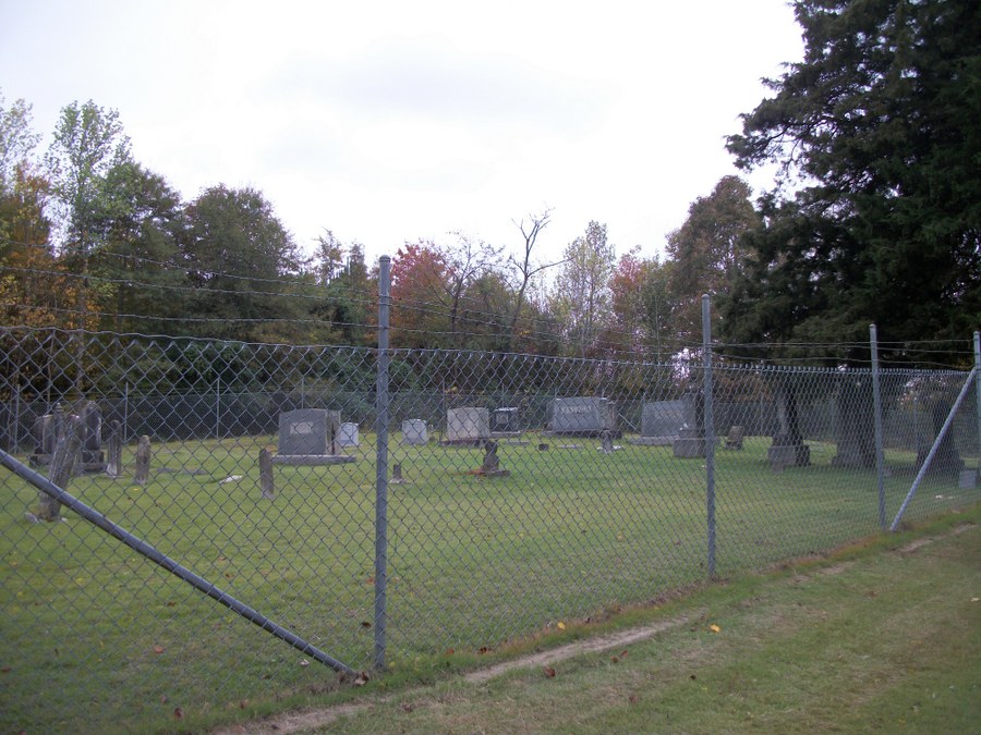
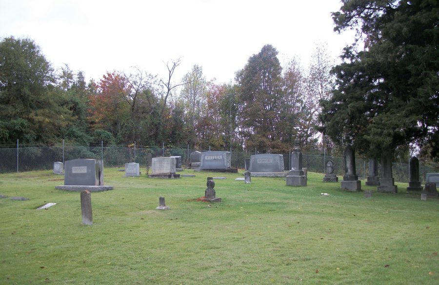
| Description | : | This cemetery is no longer accesible to the public. It is in an area that Tennessee Valley Authority has closed to the public--no hunting ,fishing or camping. A man who has 2 sons buried here has a key and took us in to the cemetery. Two gates and a lock on the fence to the cemetery |
frequently asked questions (FAQ):
-
Where is Peak-Hornsby Cemetery?
Peak-Hornsby Cemetery is located at Meigs County ,Tennessee ,USA.
-
Peak-Hornsby Cemetery cemetery's updated grave count on graveviews.com?
1 memorials
-
Where are the coordinates of the Peak-Hornsby Cemetery?
Latitude: 35.6314011
Longitude: -84.7822037
Nearby Cemetories:
1. Oak Grove Cemetery
Meigs County, USA
Coordinate: 35.6356010, -84.7683029
2. Ewing Cemetery
Rhea County, USA
Coordinate: 35.6150017, -84.8031006
3. Hickey Community Cemetery
Rhea County, USA
Coordinate: 35.6481018, -84.8031006
4. Cooley Cemetery
Meigs County, USA
Coordinate: 35.6225014, -84.7536011
5. Leuty Cemetery
Spring City, Rhea County, USA
Coordinate: 35.6046982, -84.7827988
6. Rocky Springs Cemetery
Meigs County, USA
Coordinate: 35.6310997, -84.7481003
7. Collins Cemetery
Meigs County, USA
Coordinate: 35.6585999, -84.7692032
8. Sims Cemetery
Rhea County, USA
Coordinate: 35.6067009, -84.8041992
9. Baker Cemetery
Meigs County, USA
Coordinate: 35.6380997, -84.7442017
10. Hickory Flat Cemetery
Peakland, Meigs County, USA
Coordinate: 35.6231003, -84.7416992
11. Moore Cemetery
Meigs County, USA
Coordinate: 35.6192017, -84.7431030
12. Huff Cemetery
Meigs County, USA
Coordinate: 35.6431007, -84.7403030
13. Watts Bar Church of God Cemetery
Decatur, Meigs County, USA
Coordinate: 35.6213760, -84.7348230
14. Roork Cemetery
Meigs County, USA
Coordinate: 35.6605988, -84.7433014
15. Porter-Ward Cemetery
Wolf Creek, Rhea County, USA
Coordinate: 35.6105995, -84.8296967
16. Cooke Cemetery
Rhea County, USA
Coordinate: 35.5908012, -84.8210983
17. Jolley Cemetery
Rhea County, USA
Coordinate: 35.6441994, -84.8439026
18. Forest Grove Cemetery
Meigs County, USA
Coordinate: 35.5800018, -84.7925034
19. Add Smith Cemetery
Rhea County, USA
Coordinate: 35.6054900, -84.8395500
20. Porter-Hill Cemetery
Rhea County, USA
Coordinate: 35.6105995, -84.8427963
21. Smith Cemetery
Dayton, Rhea County, USA
Coordinate: 35.6055984, -84.8403015
22. McCabe Cemetery
Rhea County, USA
Coordinate: 35.6631012, -84.8411026
23. Ball Cemetery
Meigs County, USA
Coordinate: 35.5727997, -84.7846985
24. Marsh Cemetery
Spring City, Rhea County, USA
Coordinate: 35.6591988, -84.8475037