
| Memorials | : | 4 |
| Location | : | Pearce, Cochise County, USA |
| Coordinate | : | 31.9078007, -109.8292007 |
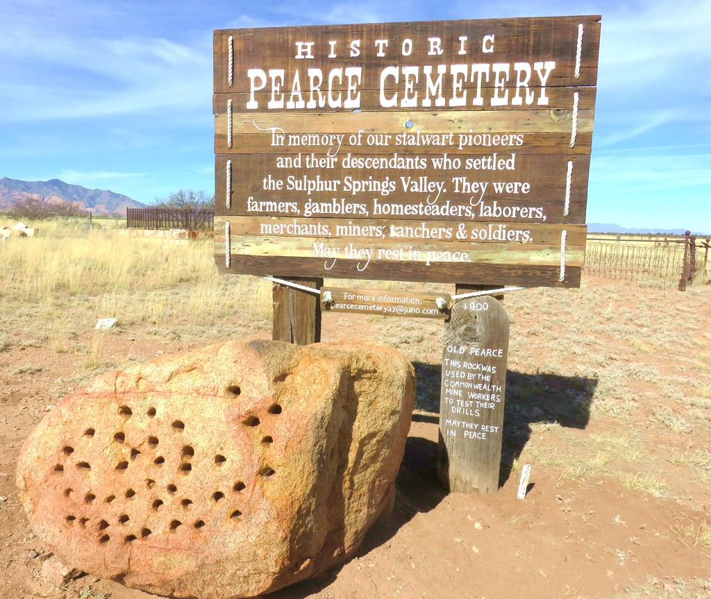
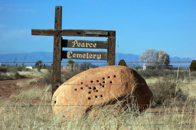
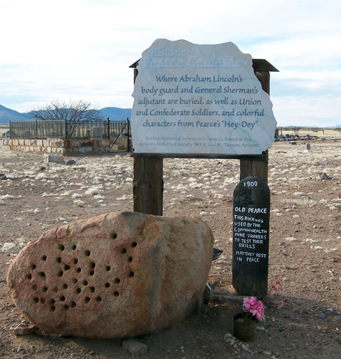
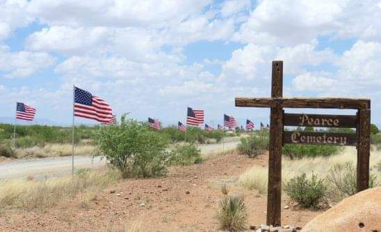
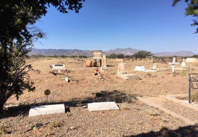
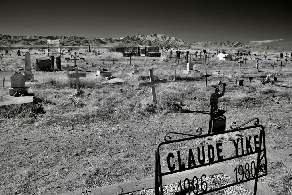
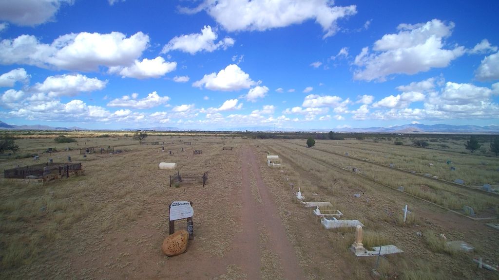
| Description | : | The Pearce Cemetery is an historic, grasslands cemetery located in southeastern Arizona approximately 22 miles south of Interstate 10 and 50 miles north of the US-Mexican border. Historical references to the “burying ground” indicate it was existing in 1883. It accommodated whoever “stacked a claim” to a spot. President Woodrow Wilson formalized the cemetery when he deeded 40 acres to the Pearce Lodge 21 of the Knights of Pythias in 1916, and it became known as the Sulphur Springs Valley Cemetery. In 1976 the non-profit Pearce Cemetery Association took over management and the cemetery was renamed the Pearce Cemetery. The cemetery... Read More |
frequently asked questions (FAQ):
-
Where is Pearce Cemetery?
Pearce Cemetery is located at Pearce, Cochise County ,Arizona ,USA.
-
Pearce Cemetery cemetery's updated grave count on graveviews.com?
4 memorials
-
Where are the coordinates of the Pearce Cemetery?
Latitude: 31.9078007
Longitude: -109.8292007
Nearby Cemetories:
1. Mountain Valley Mennonite Church Cemetery
Willcox, Cochise County, USA
Coordinate: 31.9694860, -109.7599330
2. J. S. Potter Gravesite
Sunizona, Cochise County, USA
Coordinate: 31.9042000, -109.6696500
3. Courtland Cemetery
Courtland, Cochise County, USA
Coordinate: 31.7634000, -109.8024000
4. Adling Family Cemetery
Cochise County, USA
Coordinate: 32.0504000, -109.7792000
5. Sulphur Springs Cemetery
Cochise County, USA
Coordinate: 32.0506783, -109.7777939
6. Light Cemetery
Cochise County, USA
Coordinate: 31.9188995, -109.6346970
7. Gleeson Cemetery
Cochise County, USA
Coordinate: 31.7306000, -109.8355000
8. Dragoon Springs Cemetery
Dragoon, Cochise County, USA
Coordinate: 31.9979000, -110.0226000
9. Cochise Cemetery
Cochise, Cochise County, USA
Coordinate: 32.0935000, -109.9082000
10. Morris Family Farm Burial Site
Sunizona, Cochise County, USA
Coordinate: 31.8604720, -109.5570270
11. Whitewater Cemetery
Elfrida, Cochise County, USA
Coordinate: 31.7105500, -109.6705000
12. Texas Canyon Pioneer Cemetery
Cochise County, USA
Coordinate: 32.0378227, -110.0779037
13. Kambitsch Cemetery
Sunizona, Cochise County, USA
Coordinate: 31.8560000, -109.5420000
14. Elfrida Van Meter Park
Elfrida, Cochise County, USA
Coordinate: 31.6784310, -109.6867650
15. Russellville-Dragoon Cemetery
Cochise County, USA
Coordinate: 32.0762000, -110.0747000
16. Boothill Graveyard
Tombstone, Cochise County, USA
Coordinate: 31.7203900, -110.0703000
17. Lovelady Family Cemetery
Elfrida, Cochise County, USA
Coordinate: 31.6704660, -109.6441780
18. Tombstone Cemetery
Tombstone, Cochise County, USA
Coordinate: 31.7168407, -110.0783234
19. Tombstone Cemetery New Addition
Tombstone, Cochise County, USA
Coordinate: 31.7184391, -110.0813675
20. Schieffelin Gravesite
Cochise County, USA
Coordinate: 31.7307500, -110.1034000
21. Dos Cabezas Pioneer Cemetery
Dos Cabezas, Cochise County, USA
Coordinate: 32.1765000, -109.6241000
22. Saint David Cemetery
Saint David, Cochise County, USA
Coordinate: 31.8663998, -110.2050018
23. Holy Trinity Monastary Cemetery
Saint David, Cochise County, USA
Coordinate: 31.8769000, -110.2136000
24. Riggs Family Cemetery
Cochise County, USA
Coordinate: 32.0278015, -109.4618988