
| Memorials | : | 0 |
| Location | : | Temecula, Riverside County, USA |
| Coordinate | : | 33.4816840, -117.0908380 |
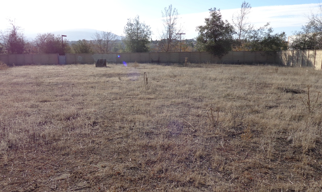
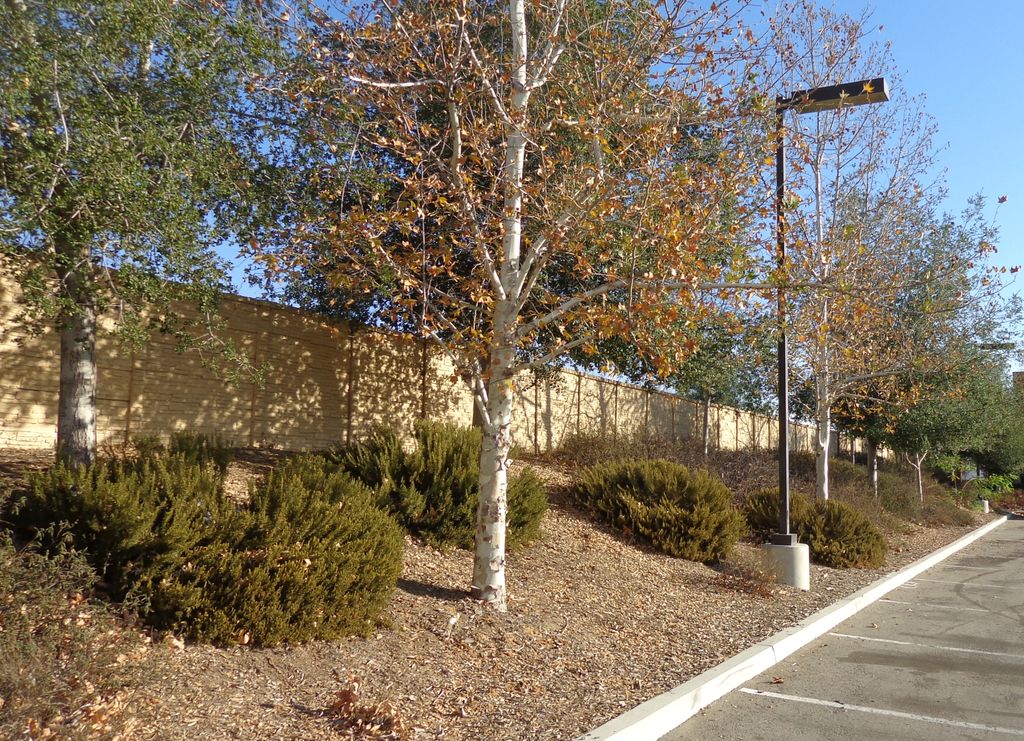
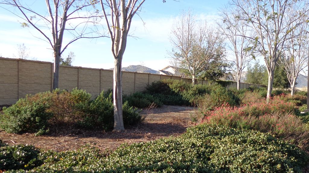
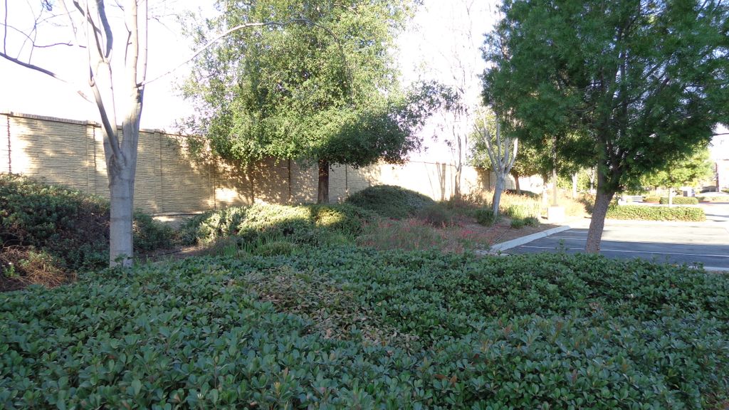
| Description | : | aka: Temecula Massacre Burial Site Pechanga Band of Luiseno Mission Indians From the www.nctimes.com: "As many as 100 Luiseno warriors who fought in a local battle of the Mexican-American War more than a century and a half ago are believed to be buried in ancient burial grounds on the Pechanga Indian Reservation." Chief Pablo Apis is also likely buried here. http://www.laweekly.com/2008-01-03/news/tribal-flush-pechanga-people-disenrolled-en-masse/ "The Luiseno dead are buried in a local burial ground located on Pablo Apis's rancho, near Temecula Creek." http://www.oldtemecula.com/history/history1.htm From http://www.socalhistoryland.mysite.com/article_5.html: Two Temecula Cemeteries Temecula is home to two historic cemeteries. Both have an interesting history, and each of them is connected to the larger story of... Read More |
frequently asked questions (FAQ):
-
Where is Pechanga Tribal Cemetery?
Pechanga Tribal Cemetery is located at Pechanga Rd. off County Rd. S 16, just S of the intersection with Hwy. 79 (at Rancho California). Temecula, Riverside County ,California ,USA.
-
Pechanga Tribal Cemetery cemetery's updated grave count on graveviews.com?
0 memorials
-
Where are the coordinates of the Pechanga Tribal Cemetery?
Latitude: 33.4816840
Longitude: -117.0908380
Nearby Cemetories:
1. Saint Thomas of Canterbury Episcopal Church Columb
Temecula, Riverside County, USA
Coordinate: 33.4753400, -117.1115300
2. Louis Wolf Tombstone
Temecula, Riverside County, USA
Coordinate: 33.4641480, -117.1199030
3. Pechanga Tribal Cemetery
Temecula, Riverside County, USA
Coordinate: 33.4457641, -117.0774449
4. Temecula Cemetery
Temecula, Riverside County, USA
Coordinate: 33.4906010, -117.1416910
5. Kolb Cemetery
Temecula, Riverside County, USA
Coordinate: 33.4427180, -117.1349880
6. Pala Tribal Cemetery
Pala, San Diego County, USA
Coordinate: 33.3664700, -117.0714300
7. Mission San Antonio de Pala Cemetery
Pala, San Diego County, USA
Coordinate: 33.3653100, -117.0740800
8. Laurel Cemetery
Murrieta, Riverside County, USA
Coordinate: 33.5421982, -117.2210999
9. Radec Cemetery
Radec, Riverside County, USA
Coordinate: 33.4648000, -116.9134000
10. Masonic Cemetery
Fallbrook, San Diego County, USA
Coordinate: 33.3913994, -117.2391968
11. Bergman Family Cemetery
Aguanga, Riverside County, USA
Coordinate: 33.4482830, -116.8912880
12. Odd Fellows Cemetery
Fallbrook, San Diego County, USA
Coordinate: 33.3683586, -117.2572479
13. Pauma Valley Cemetery
Pauma Valley, San Diego County, USA
Coordinate: 33.3264008, -116.9832993
14. Wildomar Cemetery
Wildomar, Riverside County, USA
Coordinate: 33.6100006, -117.2699966
15. Saint Francis Episcopal Church Memorial Garden
Pauma Valley, San Diego County, USA
Coordinate: 33.2956530, -116.9686810
16. Valley Creek Farm Burial Site
Valley Center, San Diego County, USA
Coordinate: 33.2684790, -117.0123020
17. Manker Family Cemetery
Lake Elsinore, Riverside County, USA
Coordinate: 33.6689800, -117.2451200
18. Saint Bartholomew Cemetery
Rincon, San Diego County, USA
Coordinate: 33.2769012, -116.9468994
19. Valley Center Cemetery
Valley Center, San Diego County, USA
Coordinate: 33.2388992, -117.0317001
20. Park Family Cemetery
Aguanga, Riverside County, USA
Coordinate: 33.5158430, -116.7879560
21. Camp Pendleton
Oceanside, San Diego County, USA
Coordinate: 33.2914441, -117.3060096
22. Potrero Indian Cemetery
La Jolla Indian Reservation, San Diego County, USA
Coordinate: 33.2883690, -116.8786690
23. Menifee Valley Cemetery
Sun City, Riverside County, USA
Coordinate: 33.7290420, -117.2059910
24. Saint Stephen’s Episcopal Church Columbarium
Sun City, Riverside County, USA
Coordinate: 33.7330990, -117.2042950