
| Memorials | : | 0 |
| Location | : | Van Buren, Crawford County, USA |
| Coordinate | : | 35.4799995, -94.3925018 |
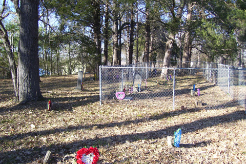
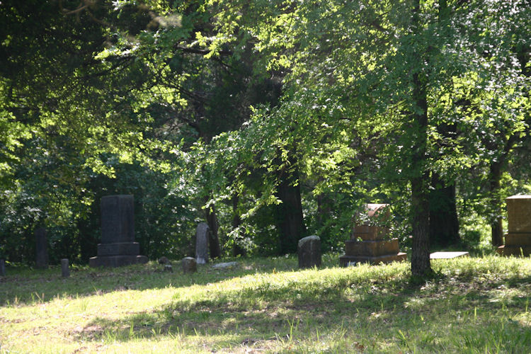
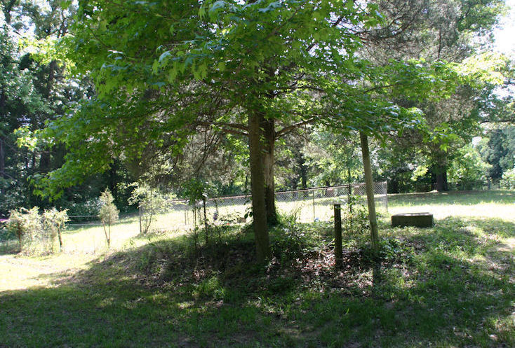
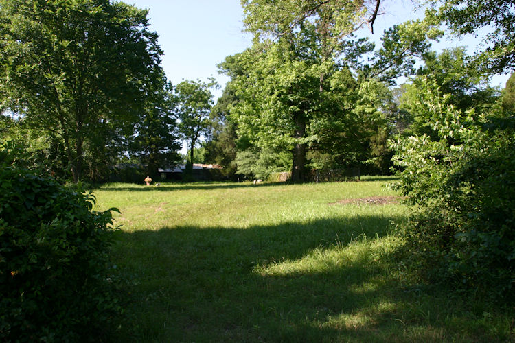
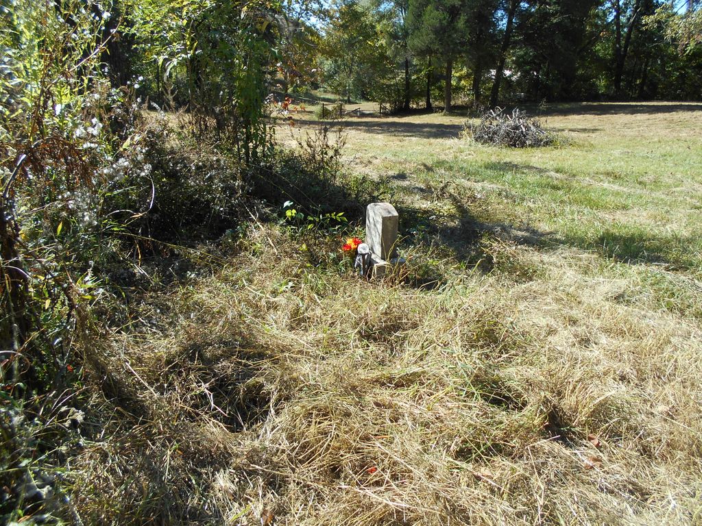
| Description | : | Endangered cemetery located at the end of Peevyhouse Road by Lee Creek in Van Buren, Crawford County, Arkansas. The land for the Cemetery was donated by Christopher Pevehouse and then later owned by Paul Hays. |
frequently asked questions (FAQ):
-
Where is Peevyhouse Cemetery?
Peevyhouse Cemetery is located at Pevehouse Road Van Buren, Crawford County ,Arkansas , 72956USA.
-
Peevyhouse Cemetery cemetery's updated grave count on graveviews.com?
0 memorials
-
Where are the coordinates of the Peevyhouse Cemetery?
Latitude: 35.4799995
Longitude: -94.3925018


Nearby Cemetories:
1. Foster Cemetery
Van Buren, Crawford County, USA
Coordinate: 35.4755710, -94.3731370
2. Bodine Cemetery
Crawford County, USA
Coordinate: 35.4867250, -94.4116100
3. Antioch Cemetery
Van Buren, Crawford County, USA
Coordinate: 35.4771996, -94.3368988
4. Dripping Springs Cemetery
Dripping Springs, Crawford County, USA
Coordinate: 35.5258000, -94.3896000
5. Trinity Columbarium
Van Buren, Crawford County, USA
Coordinate: 35.4484650, -94.3496980
6. Dora Cemetery
Van Buren, Crawford County, USA
Coordinate: 35.4493350, -94.4394630
7. Nolon Springs Cemetery
Fort Smith, Sebastian County, USA
Coordinate: 35.4291992, -94.3843994
8. Fairview Cemetery
Van Buren, Crawford County, USA
Coordinate: 35.4411011, -94.3503036
9. Forest Park Cemetery
Fort Smith, Sebastian County, USA
Coordinate: 35.4261017, -94.3719025
10. Woods Cemetery
Crawford County, USA
Coordinate: 35.5278015, -94.4328003
11. Stevenson Cemetery
Van Buren, Crawford County, USA
Coordinate: 35.4702988, -94.3221970
12. Gracelawn Cemetery
Van Buren, Crawford County, USA
Coordinate: 35.4462500, -94.3268500
13. Thompson Cemetery
Crawford County, USA
Coordinate: 35.5372009, -94.4281006
14. Sarah Grove Cemetery
Van Buren, Crawford County, USA
Coordinate: 35.5421982, -94.3719025
15. Allison Cemetery
Sequoyah County, USA
Coordinate: 35.5181007, -94.4569016
16. Crown Hill Cemetery
Van Buren, Crawford County, USA
Coordinate: 35.4337910, -94.3329620
17. Czarnikow Cemetery
Roland, Sequoyah County, USA
Coordinate: 35.4883000, -94.4775000
18. Washington Cemetery
Fort Smith, Sebastian County, USA
Coordinate: 35.4095980, -94.3713360
19. Speir Cemetery
Crawford County, USA
Coordinate: 35.5475006, -94.4291992
20. Oliver Springs Cemetery
Rudy, Crawford County, USA
Coordinate: 35.5280991, -94.3163986
21. Holy Cross Cemetery
Fort Smith, Sebastian County, USA
Coordinate: 35.3978004, -94.3685989
22. Macedonia Cemetery
Uniontown, Crawford County, USA
Coordinate: 35.5573170, -94.4355000
23. Gill Cemetery
Van Buren, Crawford County, USA
Coordinate: 35.4353676, -94.3029861
24. Rose Lawn Park Cemetery
Fort Smith, Sebastian County, USA
Coordinate: 35.3917007, -94.3700027