
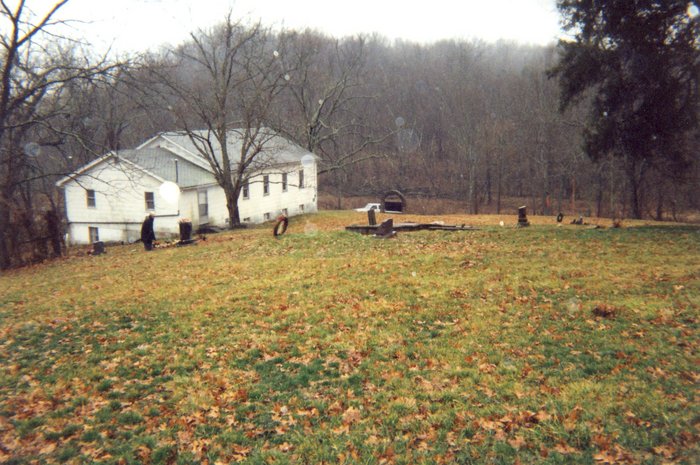
| Memorials | : | 6 |
| Location | : | Mount Sterling, Montgomery County, USA |
| Coordinate | : | 38.1758330, -83.9891670 |
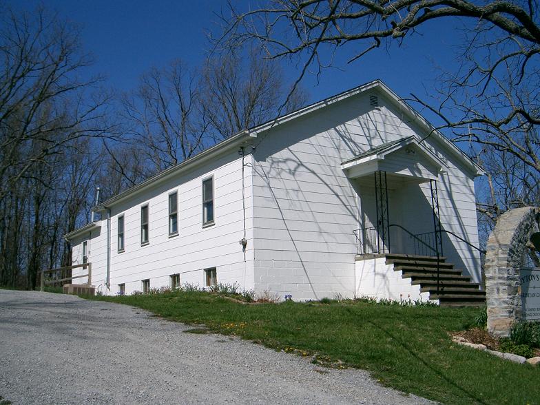
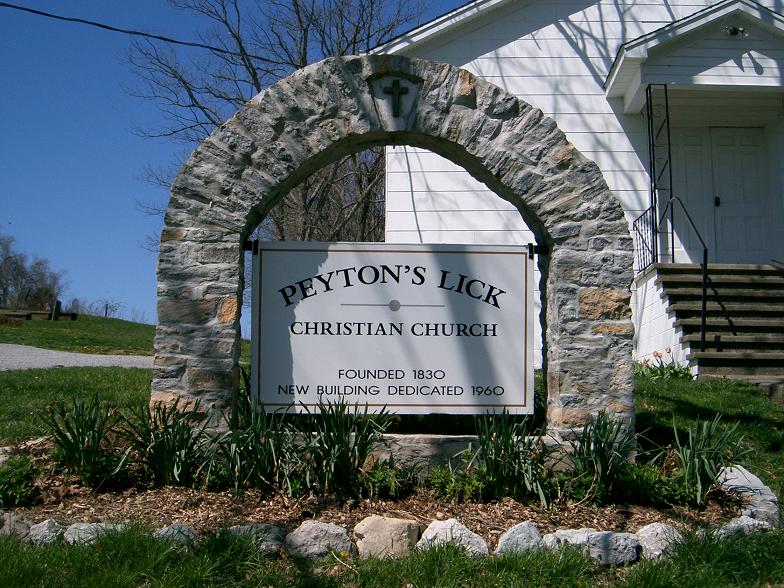
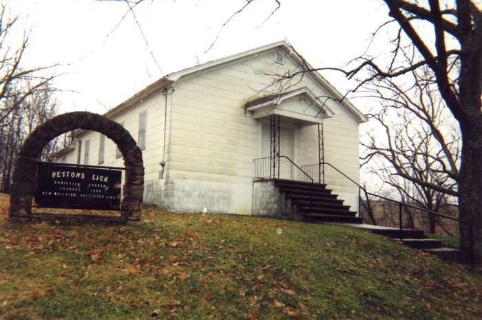
| Description | : | Directions: From KY 11, at the Bath and Montgomery County line, take Rogers Mill Road 1.7 mile. Turn right on Peyton Lick Road and go 0.6 mile to church. |
frequently asked questions (FAQ):
-
Where is Peyton's Lick Christian Church Cemetery?
Peyton's Lick Christian Church Cemetery is located at Gillispie Road / Peytons Lick Road Mount Sterling, Montgomery County ,Kentucky ,USA.
-
Peyton's Lick Christian Church Cemetery cemetery's updated grave count on graveviews.com?
6 memorials
-
Where are the coordinates of the Peyton's Lick Christian Church Cemetery?
Latitude: 38.1758330
Longitude: -83.9891670
Nearby Cemetories:
1. Crouch Cemetery
Bourbon County, USA
Coordinate: 38.1772003, -83.9993973
2. Highland Family Cemetery
Plum, Bourbon County, USA
Coordinate: 38.1931330, -83.9972590
3. Thomason Cemetery
Bourbon County, USA
Coordinate: 38.1772003, -84.0243988
4. Collins Cemetery
Bourbon County, USA
Coordinate: 38.1719017, -84.0255966
5. Bunker Hill Burial Ground
Judy, Montgomery County, USA
Coordinate: 38.1536110, -84.0141670
6. Edward Boone Grave
Bourbon County, USA
Coordinate: 38.1917000, -84.0246964
7. Bramblett Cemetery
Nicholas County, USA
Coordinate: 38.2158012, -83.9907990
8. Hedges Cemetery
Millersburg, Bourbon County, USA
Coordinate: 38.1715200, -84.0417200
9. Hayden Young Cemetery
Nicholas County, USA
Coordinate: 38.2188988, -84.0038986
10. Caywood Cemetery
Montgomery County, USA
Coordinate: 38.1300011, -83.9966660
11. Jewell Cemetery
Nicholas County, USA
Coordinate: 38.2202988, -83.9710999
12. Masterson Cemetery
Judy, Montgomery County, USA
Coordinate: 38.1278990, -83.9882750
13. Holladay and Thornton Cemetery
Judy, Montgomery County, USA
Coordinate: 38.1272220, -83.9850000
14. Old Sharpsburg Cemetery
Sharpsburg, Bath County, USA
Coordinate: 38.1986110, -83.9327770
15. Bivin Family Cemetery
North Middletown, Bourbon County, USA
Coordinate: 38.1595400, -84.0531500
16. Carter Cemetery
Nicholas County, USA
Coordinate: 38.2230988, -83.9542007
17. Hathaway Cemetery
Montgomery County, USA
Coordinate: 38.1259820, -83.9574340
18. Crown Hill Cemetery
Sharpsburg, Bath County, USA
Coordinate: 38.2020411, -83.9236322
19. Wilson Cemetery
Bourbon County, USA
Coordinate: 38.2010994, -84.0563965
20. Lane Cemetery
Montgomery County, USA
Coordinate: 38.1432991, -83.9257965
21. Letton Cemetery
Bourbon County, USA
Coordinate: 38.2108002, -84.0513992
22. Boardman Family Cemetery
Carlisle, Nicholas County, USA
Coordinate: 38.2349000, -84.0054000
23. East Union Cemetery
East Union, Nicholas County, USA
Coordinate: 38.2400480, -83.9817070
24. Butler-Gaitskill Cemetery
Mount Sterling, Montgomery County, USA
Coordinate: 38.1253130, -84.0437150