
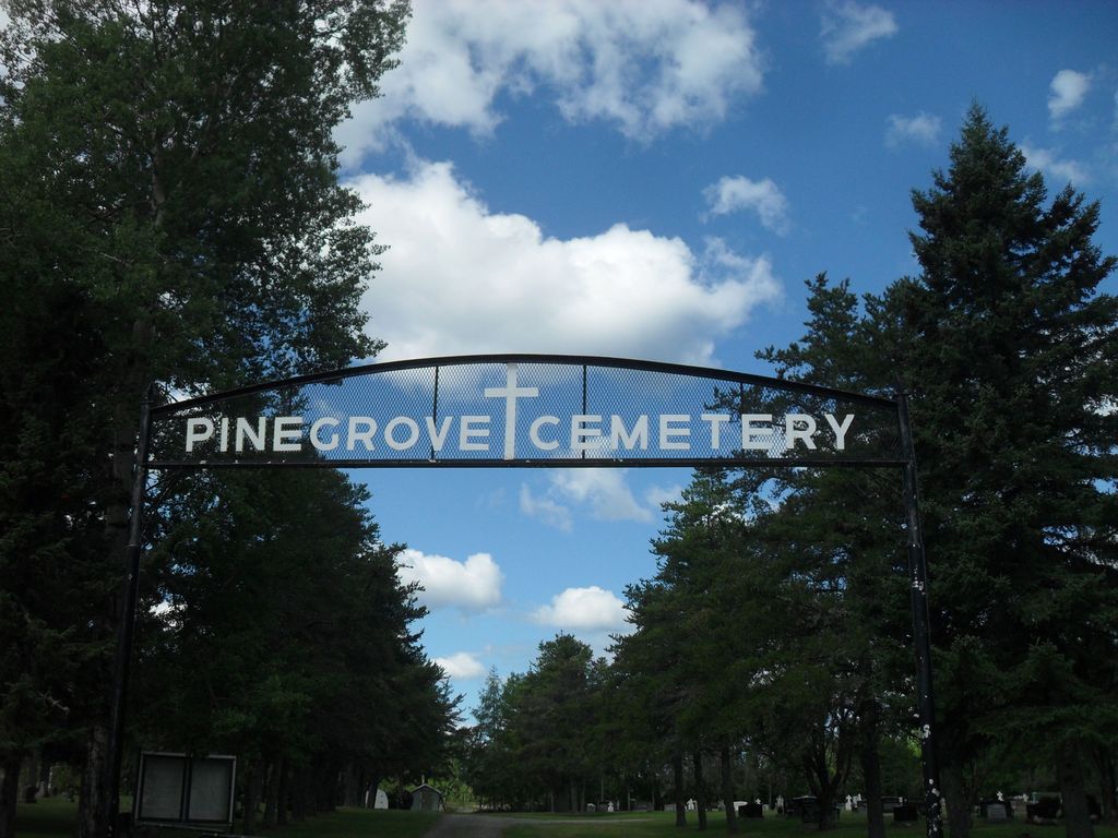
| Memorials | : | 1 |
| Location | : | Geraldton, Thunder Bay District, Canada |
| Coordinate | : | 49.7226410, -86.9572678 |
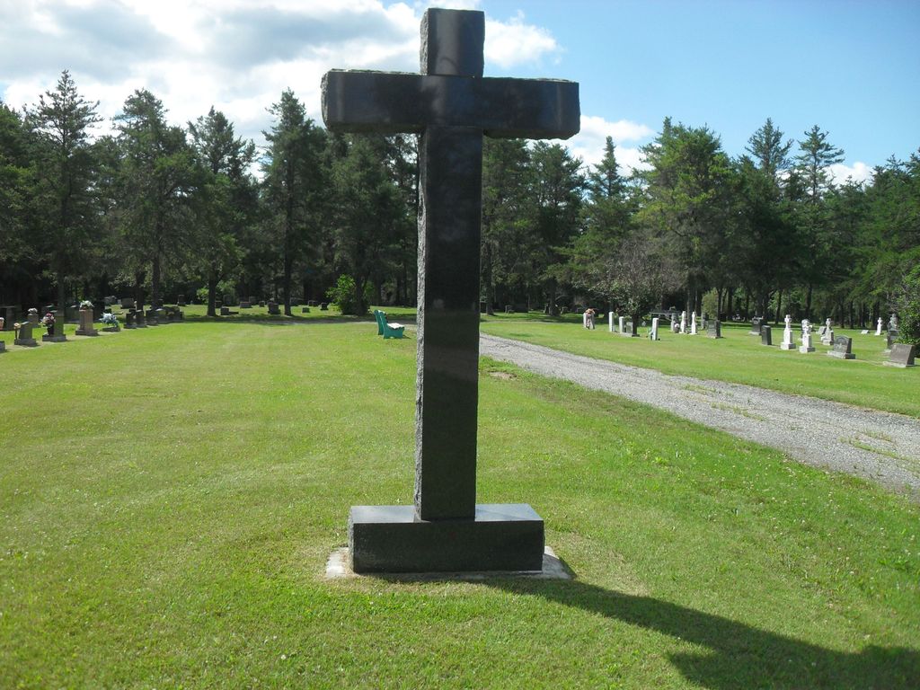
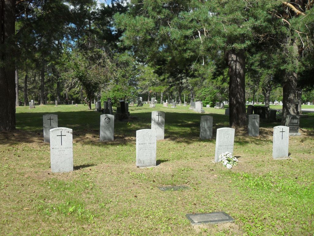
| Description | : | Large signboards inside the main entrance map out the section, range and grave numbers of most interments. It does not seem to have been updated over the last few years. |
frequently asked questions (FAQ):
-
Where is Pinegrove Cemetery?
Pinegrove Cemetery is located at Assad CR & Oseski Dr Geraldton, Thunder Bay District ,Ontario ,Canada.
-
Pinegrove Cemetery cemetery's updated grave count on graveviews.com?
1 memorials
-
Where are the coordinates of the Pinegrove Cemetery?
Latitude: 49.7226410
Longitude: -86.9572678
Nearby Cemetories:
1. Geraldton Roman Catholic Cemetery
Geraldton, Thunder Bay District, Canada
Coordinate: 49.7357119, -86.9299090
2. Longlac Cemetery
Longlac, Thunder Bay District, Canada
Coordinate: 49.7780495, -86.5200806
3. Hillcrest Cemetery
Nakina, Thunder Bay District, Canada
Coordinate: 50.1895558, -86.6994023
4. Beardmore Pinegrove Cemetery
Beardmore, Thunder Bay District, Canada
Coordinate: 49.6120840, -87.9577730
5. Terrace Bay Cemetery
Terrace Bay, Thunder Bay District, Canada
Coordinate: 48.8334100, -87.0832600
6. Schreiber Cemetery
Schreiber, Thunder Bay District, Canada
Coordinate: 48.8092700, -87.2613900
7. Manitouwadge Municipal Cemetery
Manitouwadge, Thunder Bay District, Canada
Coordinate: 49.1186480, -85.8525970
8. Jackfish Cemetery
Jack Fish, Thunder Bay District, Canada
Coordinate: 48.7797446, -86.9452564
9. Rossport Union Church Cemetery
Rossport, Thunder Bay District, Canada
Coordinate: 48.8363800, -87.5184510
10. Saint John Berchman Catholic Cemetery
Rossport, Thunder Bay District, Canada
Coordinate: 48.8360900, -87.5192100
11. Port Coldwell Cemetery
Coldwell, Thunder Bay District, Canada
Coordinate: 48.7592120, -86.5367930
12. Cliffside Cemetery
Nipigon, Thunder Bay District, Canada
Coordinate: 49.0166600, -88.2566800
13. Hurkett Cemetery
Hurkett, Thunder Bay District, Canada
Coordinate: 48.8501200, -88.5198900
14. Pic Mobert First Nation Cemetery
Pic Mobert South, Thunder Bay District, Canada
Coordinate: 48.6934780, -85.6380938
15. Gull Bay First Nation Cemetery
Gull Bay, Thunder Bay District, Canada
Coordinate: 49.8073398, -89.1065077
16. Saint Isidore Roman Catholic Cemetery
Dorion, Thunder Bay District, Canada
Coordinate: 48.7902700, -88.5611300
17. Hillside Cemetery
Armstrong, Thunder Bay District, Canada
Coordinate: 50.3057160, -89.0380210
18. Hornepayne Cemetery
Hornepayne, Algoma District, Canada
Coordinate: 49.2114620, -84.7639890
19. White River Municipal Cemetery
White River, Algoma District, Canada
Coordinate: 48.5915100, -85.2671900
20. Silver Islet Cemetery
Silver Islet, Thunder Bay District, Canada
Coordinate: 48.3395020, -88.8045010
21. Lappe Old Lutheran Church Cemetery Gorham
Thunder Bay, Thunder Bay District, Canada
Coordinate: 48.5668000, -89.2834200
22. Lappe Cemetery
Thunder Bay, Thunder Bay District, Canada
Coordinate: 48.5888000, -89.3548500
23. Cemetery Island Cemetery
Rock Harbor Lodge, Keweenaw County, USA
Coordinate: 48.0966667, -88.5700000
24. Kivikoski Cemetery
Thunder Bay, Thunder Bay District, Canada
Coordinate: 48.4967500, -89.3297900