| Memorials | : | 0 |
| Location | : | Kingman, Mohave County, USA |
| Coordinate | : | 35.1916000, -114.0587270 |
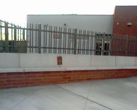
| Description | : | From 1900 until 1917 this cemetery served as the primary burial ground for resident of Kingman. After the opening of Mountain View cemetery in 1917, officials began moving bodies out of Pioneer Cemetery for a fee. Graves not relocated by family were left where they originated, and the cemetery was formally abandoned in 1944. Most of the remains left behind were in unmarked graves. In 1948, Kingman Junior High was built next to the cemetery site, and in 1957 Kingman High School was built on an adjacent property. In 2009, these two facilities were revamped into the new Lee Williams High... Read More |
frequently asked questions (FAQ):
-
Where is Pioneer Cemetery?
Pioneer Cemetery is located at Kingman, Mohave County ,Arizona ,USA.
-
Pioneer Cemetery cemetery's updated grave count on graveviews.com?
0 memorials
-
Where are the coordinates of the Pioneer Cemetery?
Latitude: 35.1916000
Longitude: -114.0587270
Nearby Cemetories:
1. Mountain View Cemetery
Kingman, Mohave County, USA
Coordinate: 35.2008018, -114.0342026
2. Grace Lutheran Church Columbarium and Memorial Gar
Kingman, Mohave County, USA
Coordinate: 35.2059900, -114.0248300
3. Cerbat Cemetery
Mohave County, USA
Coordinate: 35.3038826, -114.1421127
4. Golconda Cemetery
Mohave County, USA
Coordinate: 35.3236470, -114.1292110
5. Mineral Park Cemetery
Drake, Mohave County, USA
Coordinate: 35.3699989, -114.1474991
6. Chloride Graves Site
Mohave County, USA
Coordinate: 35.4092550, -114.2063480
7. Chloride Cemetery
Chloride, Mohave County, USA
Coordinate: 35.4112220, -114.2068610
8. Gold Road Cemetery
Oatman, Mohave County, USA
Coordinate: 35.0460205, -114.3665619
9. Oatman Cemetery
Oatman, Mohave County, USA
Coordinate: 35.0231247, -114.3812180
10. Hackberry Cemetery
Hackberry, Mohave County, USA
Coordinate: 35.3709984, -113.7310028
11. Yucca Cemetery
Mohave County, USA
Coordinate: 34.8756523, -114.1522446
12. Valentine Cemetery
Mohave County, USA
Coordinate: 35.3619820, -113.6653740
13. Hardyville Pioneer Cemetery
Mohave County, USA
Coordinate: 35.1208382, -114.5873337
14. Franconia Cemetery
Mohave County, USA
Coordinate: 34.7400660, -114.2683590
15. Fort Mojave Post Cemetery
Bullhead City, Mohave County, USA
Coordinate: 35.0437012, -114.6219940
16. Cedar Cemetery
Mohave County, USA
Coordinate: 34.7664337, -113.7757874
17. Desert Lawn Cemetery
Mohave Valley, Mohave County, USA
Coordinate: 34.8894005, -114.5413971
18. Fort Mojave Tribal Cemetery
Needles, San Bernardino County, USA
Coordinate: 34.8517420, -114.6185370
19. Needles Pioneer Cemetery
Needles, San Bernardino County, USA
Coordinate: 34.8358994, -114.6077576
20. Needles Riverview Cemetery
Needles, San Bernardino County, USA
Coordinate: 34.8230600, -114.5977700
21. White Hills Cemetery
Mohave County, USA
Coordinate: 35.7317085, -114.3870773
22. Masten Family Cemetery
Wikieup, Mohave County, USA
Coordinate: 34.7050018, -113.6090012
23. Peach Springs Cemetery
Peach Springs, Mohave County, USA
Coordinate: 35.5465330, -113.4114450
24. Sandy Cemetery
Mohave County, USA
Coordinate: 34.6860008, -113.5810013

