
| Memorials | : | 7 |
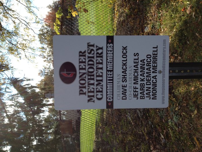
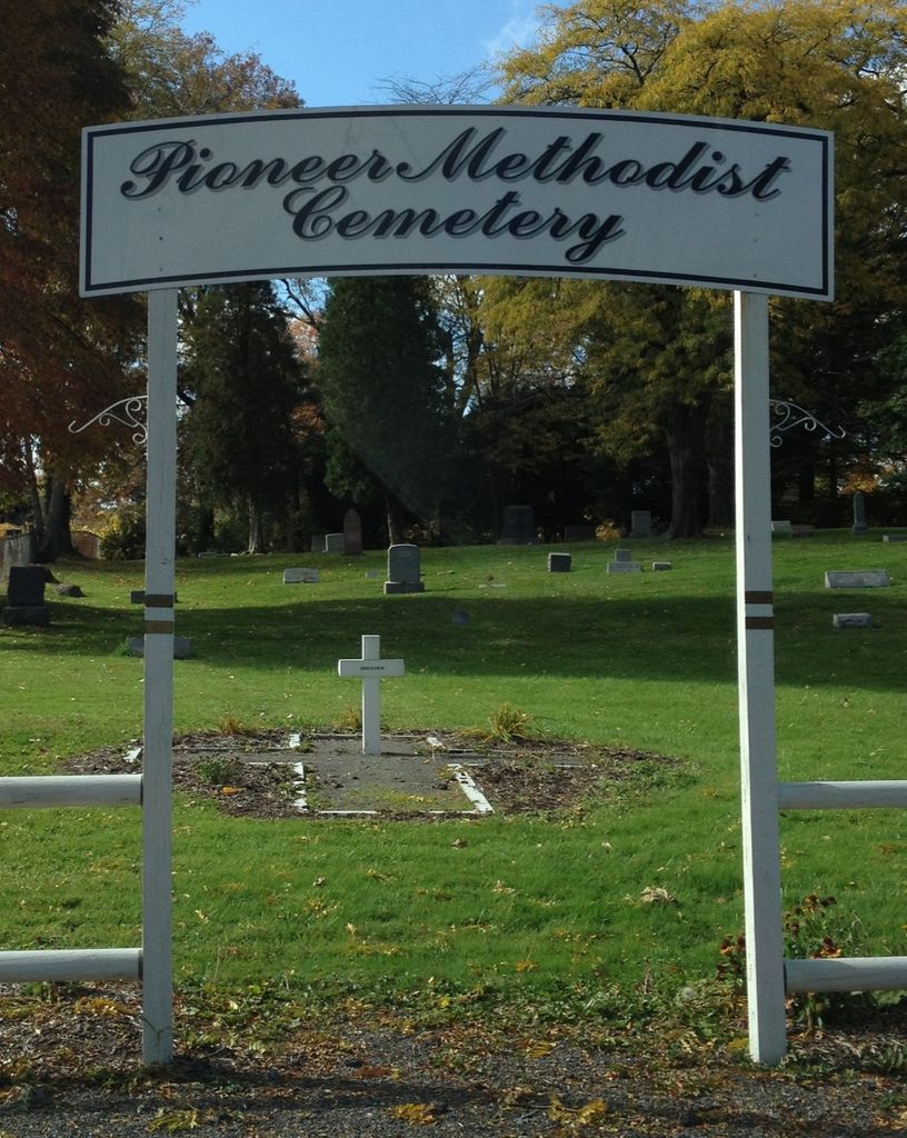
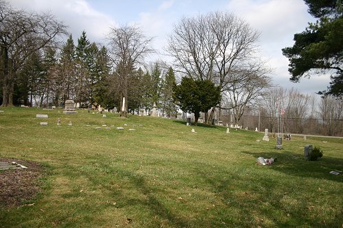
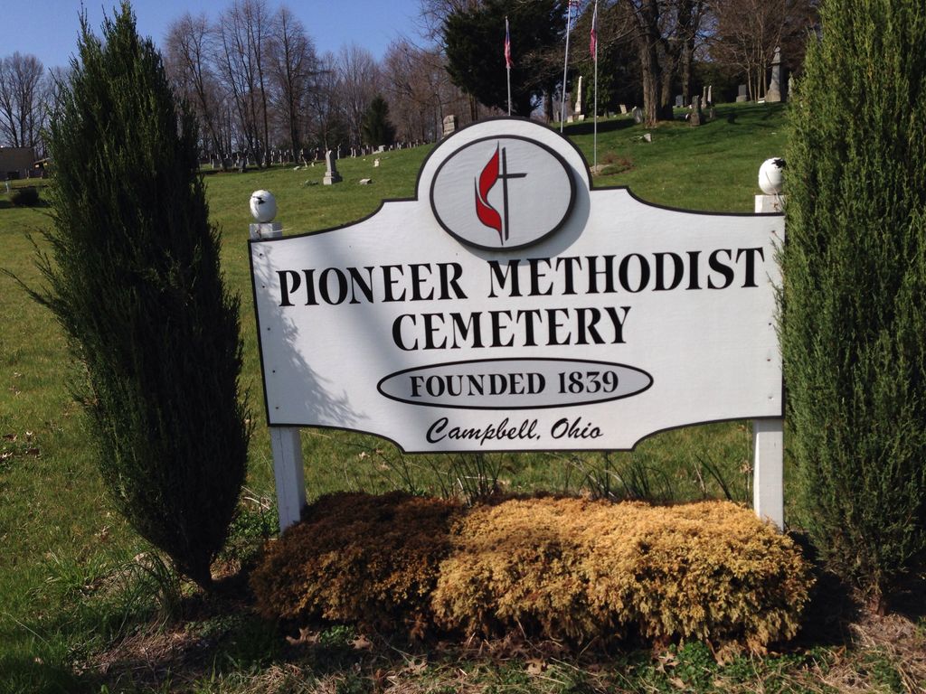
| Location | : | Campbell, Mahoning County, USA |
| Coordinate | : | 41.0900150, -80.5778750 |
| Description | : | Isaac Powers of Youngstown presented a lot of land for a church site and cemetery. The Coitsville Methodist Episcopal Church was erected in 1838. The meeting house was erected atop the knoll above the cemetery. The Church was a victim of arson in 1839. In 1948, a new building was erected upon the same site. (A private dwelling now stands where the church once stood.) The membership merged with the Wilson Avenue Methodist Church in 1919 to form the Marion Heights United Methodist Church located on Woodland Ave. in Campbell. Restoration of the Coitsville Methodist Episcopal Cemetery was one of the... Read More |
frequently asked questions (FAQ):
-
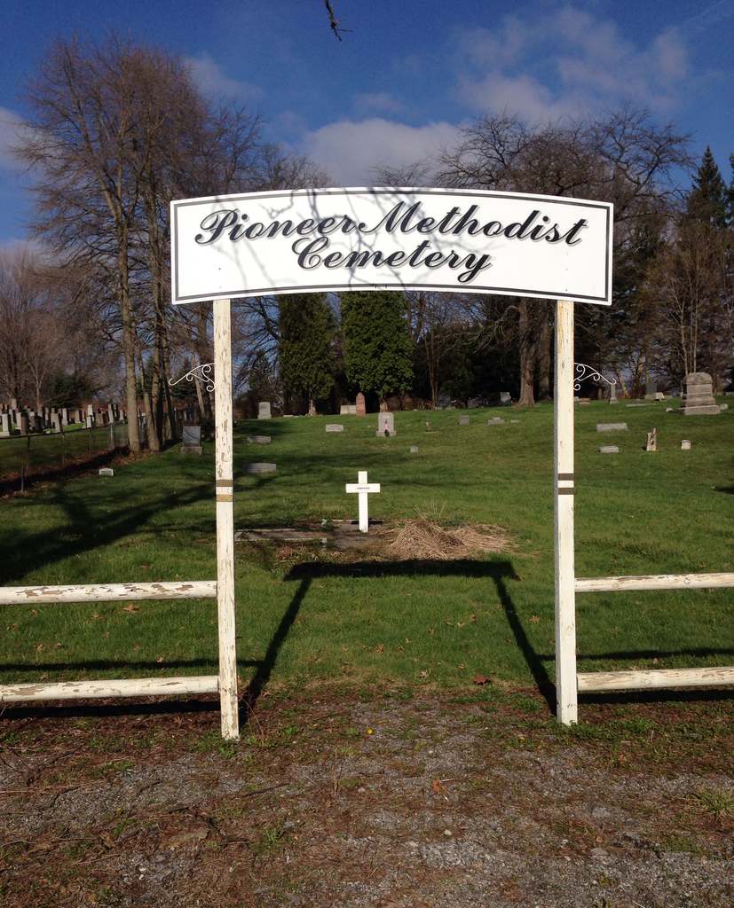
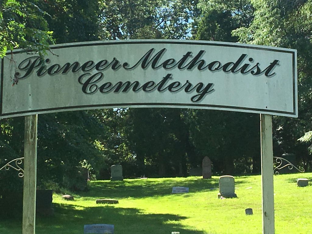
Where is Pioneer Methodist Cemetery?
Pioneer Methodist Cemetery is located at McCartney Road (US 422) and Struthers liberty Road Campbell, Mahoning County ,Ohio , 44505USA.
-
Pioneer Methodist Cemetery cemetery's updated grave count on graveviews.com?
7 memorials
-
Where are the coordinates of the Pioneer Methodist Cemetery?
Latitude: 41.0900150
Longitude: -80.5778750
Nearby Cemetories:
1. Temple Emanuel Cemetery
Youngstown, Mahoning County, USA
Coordinate: 41.0900002, -80.5781021
2. Coitsville Presbyterian-Jackson Cemetery
Youngstown, Mahoning County, USA
Coordinate: 41.0938988, -80.5702972
3. Archangel Michael Greek Orthodox Cemetery
Campbell, Mahoning County, USA
Coordinate: 41.0802340, -80.5776170
4. Saint Johns Cemetery
Campbell, Mahoning County, USA
Coordinate: 41.0797005, -80.5781021
5. Saint Nicholas Cemetery
Campbell, Mahoning County, USA
Coordinate: 41.0797005, -80.5800018
6. Saint Michael Byzantine Catholic Church Cemetery
Campbell, Mahoning County, USA
Coordinate: 41.0802424, -80.5830780
7. Saint Johns Cemetery
Lowellville, Mahoning County, USA
Coordinate: 41.0703011, -80.5575027
8. Scienceville Cemetery
Youngstown, Mahoning County, USA
Coordinate: 41.1136690, -80.6167410
9. Powers Estate Cemetery
Youngstown, Mahoning County, USA
Coordinate: 41.0684500, -80.6248700
10. Mount Hope Veterans Memorial Cemetery
Mahoning County, USA
Coordinate: 41.1267014, -80.6050034
11. Rose Hill Catholic Cemetery (Defunct)
Youngstown, Mahoning County, USA
Coordinate: 41.0925220, -80.6335810
12. Lake Park Cemetery
Youngstown, Mahoning County, USA
Coordinate: 41.0578003, -80.6314011
13. Youngstown Cemetery #1
Youngstown, Mahoning County, USA
Coordinate: 41.1014690, -80.6478580
14. Evergreen Cemetery
New Bedford, Lawrence County, USA
Coordinate: 41.1021996, -80.5077972
15. Holy Rosary Catholic Church Cemetery
Lowellville, Mahoning County, USA
Coordinate: 41.0461700, -80.5350700
16. Youngstown Cemetery #2
Youngstown, Mahoning County, USA
Coordinate: 41.1017380, -80.6484430
17. South Benevolent Cemetery
Youngstown, Mahoning County, USA
Coordinate: 41.0800600, -80.6489600
18. Villa Maria Cemetery
Villa Maria, Lawrence County, USA
Coordinate: 41.0750000, -80.5079000
19. Lowellville Cemetery
Lowellville, Mahoning County, USA
Coordinate: 41.0449700, -80.5361900
20. Mahoning Valley Memorial Park
Youngstown, Mahoning County, USA
Coordinate: 41.1323920, -80.6246780
21. Hopewell Cemetery
New Bedford, Lawrence County, USA
Coordinate: 41.0988998, -80.5002975
22. Oak Hill Cemetery
Youngstown, Mahoning County, USA
Coordinate: 41.0983700, -80.6590300
23. Old Deer Creek U.P. Cemetery
Pulaski, Lawrence County, USA
Coordinate: 41.1077000, -80.4992000
24. Saint Patricks Cemetery
Hubbard, Trumbull County, USA
Coordinate: 41.1528015, -80.5717010