
| Memorials | : | 2 |
| Location | : | Spear, Avery County, USA |
| Coordinate | : | 36.0410995, -82.0522003 |
| Description | : | From U. S. Hwy 19-E north of the Mitchell/Avery County line, take Henson Creek Rd 2.3 miles, turn left onto Dave Dellinger Rd. After 500 feet, cemetery is in a grove of trees 100 yards to the right. |
frequently asked questions (FAQ):
-
Where is Pittman Cemetery?
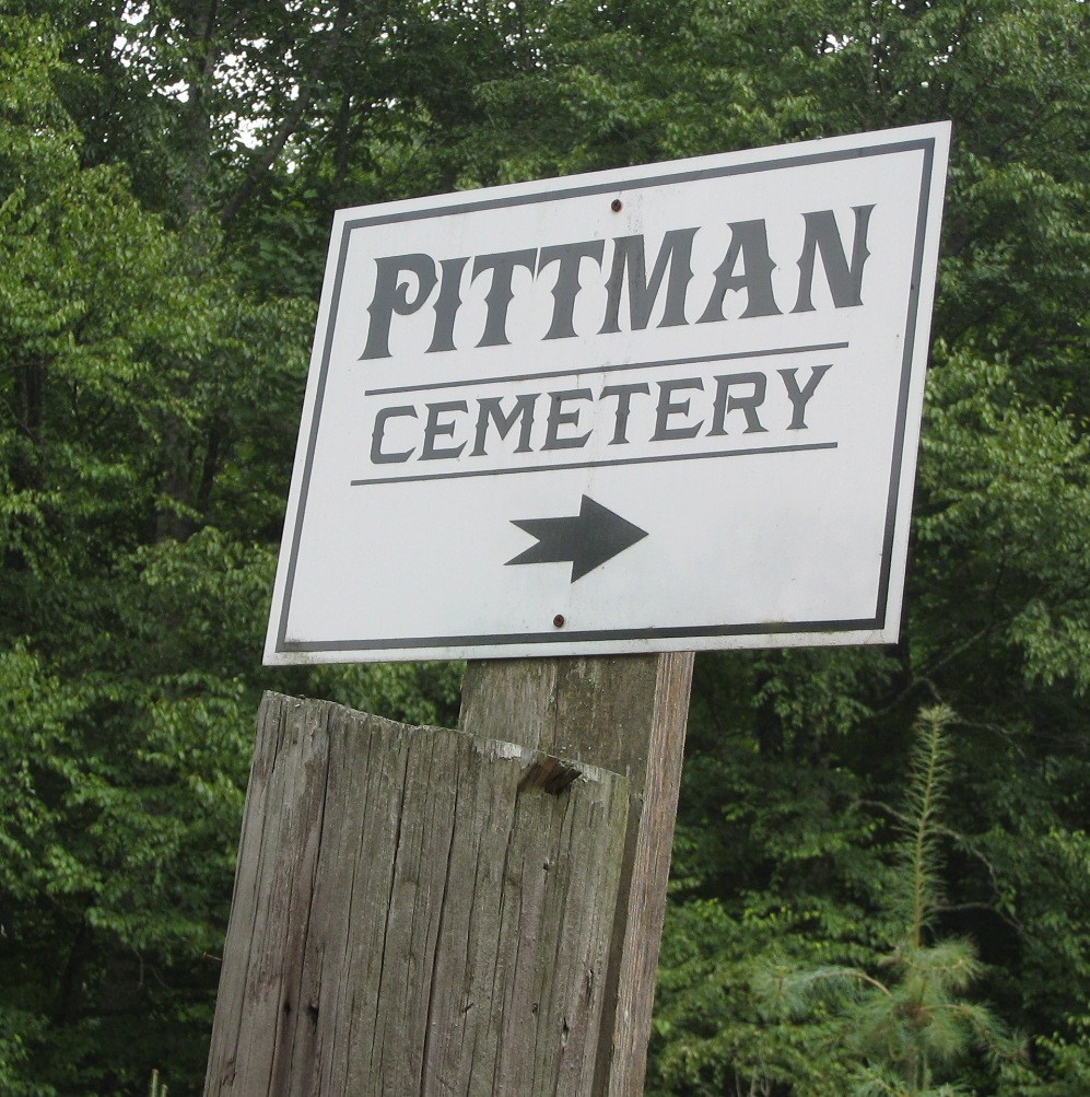
Pittman Cemetery is located at Dave Dellinger Rd Spear, Avery County ,North Carolina ,USA.
-
Pittman Cemetery cemetery's updated grave count on graveviews.com?
2 memorials
-
Where are the coordinates of the Pittman Cemetery?
Latitude: 36.0410995
Longitude: -82.0522003
Nearby Cemetories:
1. Gladys C Wise Family Cemetery
Spear, Avery County, USA
Coordinate: 36.0448500, -82.0568800
2. Buchanan Family Cemetery
Spear, Avery County, USA
Coordinate: 36.0309584, -82.0455677
3. Houston Cemetery
Spear, Avery County, USA
Coordinate: 36.0332985, -82.0366974
4. Houston Family Cemetery
Roaring Creek, Avery County, USA
Coordinate: 36.0582200, -82.0337200
5. Robert Pittman Cemetery
Spear, Avery County, USA
Coordinate: 36.0282490, -82.0274130
6. Jones Cemetery
Avery County, USA
Coordinate: 36.0588989, -82.0280991
7. Greene Cemetery
Avery County, USA
Coordinate: 36.0600014, -82.0188980
8. Yellow Mountain Cemetery
Plumtree, Avery County, USA
Coordinate: 36.0233340, -82.0147260
9. Cane Creek Baptist Church Cemetery
Hawk, Mitchell County, USA
Coordinate: 36.0188599, -82.0874405
10. McCourys Rock Cemetery
Avery County, USA
Coordinate: 36.0630270, -82.0154830
11. Hensons Creek Cemetery
Avery County, USA
Coordinate: 36.0270699, -82.0078943
12. Burleson Cemetery
Bakersville, Mitchell County, USA
Coordinate: 36.0085983, -82.0796967
13. Plumtree AME Zion Cemetery
Avery County, USA
Coordinate: 36.0307730, -82.0027900
14. Hobson Cemetery
Avery County, USA
Coordinate: 36.0833015, -82.0419006
15. Hughes Memorial Park
Roaring Creek, Avery County, USA
Coordinate: 36.0847015, -82.0516968
16. Beech Bottom Mennonite Cemetery
Frank, Avery County, USA
Coordinate: 36.0729300, -82.0075000
17. Whitaker Branch Cemetery
Beech Bottom, Avery County, USA
Coordinate: 36.0788994, -82.0130997
18. Slippery Hill Cemetery
Avery County, USA
Coordinate: 36.0675011, -82.0002975
19. Buchanan Cemetery - Clarissa
Clarrissa, Mitchell County, USA
Coordinate: 36.0215667, -82.1107401
20. Major Cemetery
Mitchell County, USA
Coordinate: 36.0600014, -82.1113968
21. Roan Valley Cemetery
Mitchell County, USA
Coordinate: 36.0814018, -82.0927963
22. Chestnutt Hill Cemetery
Clarrissa, Mitchell County, USA
Coordinate: 36.0169060, -82.1090860
23. Wiseman-Pyatte Cemetery
Ingalls, Avery County, USA
Coordinate: 35.9945200, -82.0193000
24. Buchanan Cemetery
Mitchell County, USA
Coordinate: 36.0189018, -82.1164017