
| Memorials | : | 16 |
| Location | : | Phillipsburg, Phillips County, USA |
| Coordinate | : | 39.9871500, -99.2575370 |
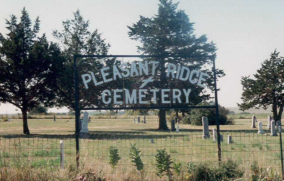
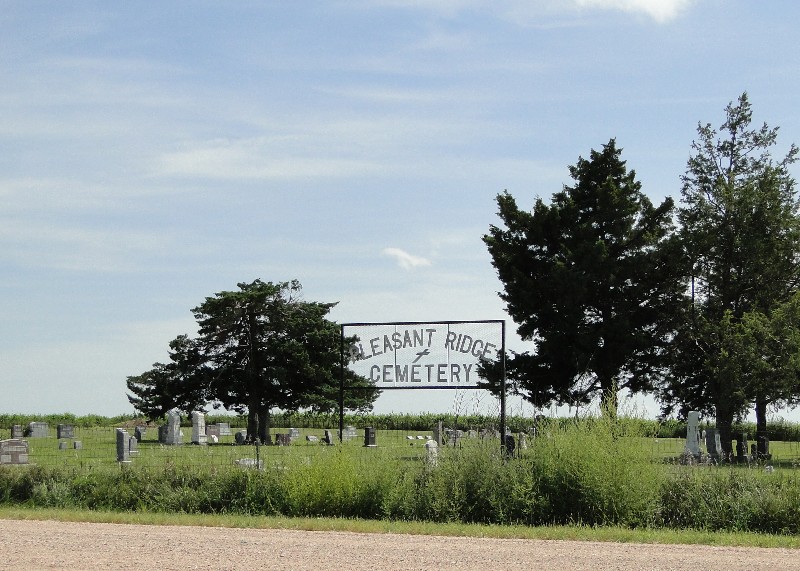
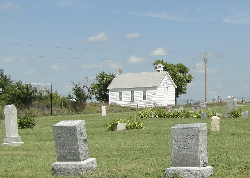
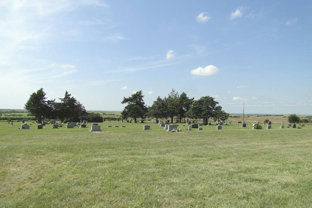
| Description | : | Across the road south from Pleasant Ridge Church. The church is listed in the National Registry of Historic Places. Pleasant Ridge Church is located approx. 20 miles north of Phillipsburg at 381 East Buffalo Road, 3 miles east of Highway 183. The building faces to the south and is situated on a quarter acre of land in the Glenwood Township. The current church building was built in 1898. The 1900 Phillips county plat map shows it as a Friends church. A 1940s frame outhouse is located north of the church. The Pleasant Ridge Cemetery (previously known as the Sod Church... Read More |
frequently asked questions (FAQ):
-
Where is Pleasant Ridge Cemetery?
Pleasant Ridge Cemetery is located at E. Buffalo Road Phillipsburg, Phillips County ,Kansas ,USA.
-
Pleasant Ridge Cemetery cemetery's updated grave count on graveviews.com?
16 memorials
-
Where are the coordinates of the Pleasant Ridge Cemetery?
Latitude: 39.9871500
Longitude: -99.2575370
Nearby Cemetories:
1. Chapman Cemetery
Woodruff, Phillips County, USA
Coordinate: 39.9930992, -99.1782990
2. Greenwood Township Cemetery
Phillipsburg, Phillips County, USA
Coordinate: 39.8863983, -99.2403030
3. Republican City Cemetery
Republican City, Harlan County, USA
Coordinate: 40.0905991, -99.2605972
4. Haskett Cemetery
Phillips County, USA
Coordinate: 39.9696860, -99.1234470
5. Matteson Cemetery
Agra, Phillips County, USA
Coordinate: 39.8866800, -99.1606600
6. Naponee Cemetery
Naponee, Franklin County, USA
Coordinate: 40.0783997, -99.1456985
7. Pleasant Hill Cemetery
Phillipsburg, Phillips County, USA
Coordinate: 39.8571900, -99.2718900
8. Woodruff Cemetery
Woodruff, Phillips County, USA
Coordinate: 39.9869003, -99.4356003
9. Saint Joseph Catholic Cemetery
Alma, Harlan County, USA
Coordinate: 40.1091156, -99.3494151
10. Alma Cemetery
Alma, Harlan County, USA
Coordinate: 40.1094322, -99.3493881
11. Plum Creek Cemetery
Phillips County, USA
Coordinate: 39.8506012, -99.1896973
12. Mount Olive Cemetery
Kensington, Smith County, USA
Coordinate: 40.0014000, -99.0658035
13. Iowa Union Cemetery
Phillipsburg, Phillips County, USA
Coordinate: 39.8568993, -99.3694000
14. Saint Pauls Lutheran Cemetery
Republican City, Harlan County, USA
Coordinate: 40.1467700, -99.2185200
15. Goode Cemetery
Long Island, Phillips County, USA
Coordinate: 39.9189770, -99.4596150
16. Fairview Stone Cemetery
Kensington, Smith County, USA
Coordinate: 39.9304330, -99.0479270
17. Hoyt Cemetery
Orleans, Harlan County, USA
Coordinate: 40.1330190, -99.4316340
18. Maple Grove Cemetery
Bloomington, Franklin County, USA
Coordinate: 40.1018791, -99.0402832
19. Orleans Cemetery
Orleans, Harlan County, USA
Coordinate: 40.1330000, -99.4436700
20. West Cedar Cemetery
Agra, Phillips County, USA
Coordinate: 39.8143997, -99.1136017
21. Pleasant View Cemetery
Gretna, Phillips County, USA
Coordinate: 39.7901700, -99.1787560
22. Calvary Cemetery
Orleans, Harlan County, USA
Coordinate: 40.1377983, -99.4421997
23. Edwards Cemetery
Agra, Phillips County, USA
Coordinate: 39.7788000, -99.1835400
24. Long Island Cemetery
Long Island, Phillips County, USA
Coordinate: 39.9578018, -99.5400009