| Memorials | : | 2 |
| Location | : | Pleasant Valley, Nicholas County, USA |
| Coordinate | : | 38.3803350, -83.9381290 |
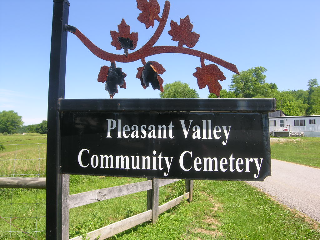
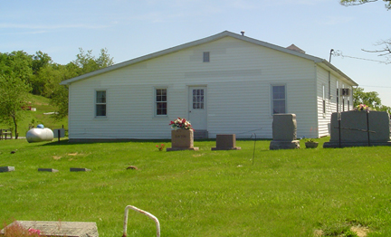
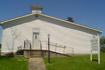
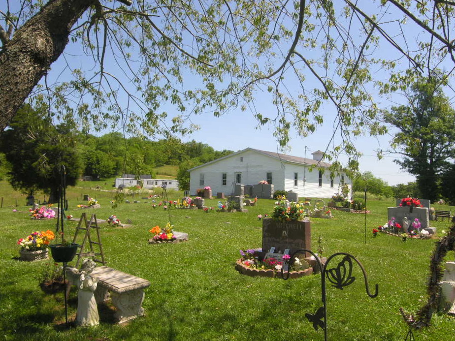
| Description | : | There are 2 cemeteries there. Both are behind the church the church is Daytons Chapel.Thhere is a fence between the 2 cemeteries, the one in front is Dayton Chapel. The one behind the fence is Pleasant Valley Community Cemetery |
frequently asked questions (FAQ):
-
Where is Pleasant Valley Community Cemetery?
Pleasant Valley Community Cemetery is located at Dayton Chapel Road / Abners Mill Road Pleasant Valley, Nicholas County ,Kentucky , 40311USA.
-
Pleasant Valley Community Cemetery cemetery's updated grave count on graveviews.com?
2 memorials
-
Where are the coordinates of the Pleasant Valley Community Cemetery?
Latitude: 38.3803350
Longitude: -83.9381290
Nearby Cemetories:
1. Parks Graveyard
Nicholas County, USA
Coordinate: 38.3631300, -83.9479100
2. Herndon Cemetery
Nicholas County, USA
Coordinate: 38.3964005, -83.9522018
3. Ishmael Cemetery
Myers, Nicholas County, USA
Coordinate: 38.3748250, -83.9651720
4. Parrish Chapel Methodist Graveyard
Myers, Nicholas County, USA
Coordinate: 38.3492432, -83.9340897
5. Standiford Cemetery
Nicholas County, USA
Coordinate: 38.4099998, -83.9794006
6. Mrs. Hessler Gravesite
Nicholas County, USA
Coordinate: 38.4158805, -83.9870502
7. Sunnyside Cemetery
Ewing, Fleming County, USA
Coordinate: 38.4314003, -83.9235992
8. Locust Grove Baptist Church Cemetery
Nicholas County, USA
Coordinate: 38.3241980, -83.9435090
9. Ellisville Cemetery
Ellisville, Nicholas County, USA
Coordinate: 38.3908000, -84.0166000
10. Poplar Run Baptist Cemetery
Fleming County, USA
Coordinate: 38.4110985, -83.8574982
11. Jackson Cemetery
Fleming County, USA
Coordinate: 38.4007988, -83.8439026
12. Mount Pisgah Cemetery
Fairview, Fleming County, USA
Coordinate: 38.4568700, -83.9447700
13. Henryville Cemetery
Nicholas County, USA
Coordinate: 38.3213760, -84.0286800
14. Bald Hill Cemetery
Nicholas County, USA
Coordinate: 38.3956650, -84.0566950
15. Elizaville Cemetery
Elizaville, Fleming County, USA
Coordinate: 38.4165459, -83.8262863
16. Mount Zion Church Graveyard
Moorefield, Nicholas County, USA
Coordinate: 38.3067360, -83.8616840
17. Carlisle Cemetery
Carlisle, Nicholas County, USA
Coordinate: 38.3160400, -84.0341600
18. Forest Retreat Cemetery
Carlisle, Nicholas County, USA
Coordinate: 38.3394790, -84.0587240
19. Barterville Cemetery
Nicholas County, USA
Coordinate: 38.3789910, -84.0696600
20. Salt Well Cemetery
Nicholas County, USA
Coordinate: 38.3794700, -84.0697780
21. Shiloh Cemetery
Carlisle, Nicholas County, USA
Coordinate: 38.2776840, -83.9590550
22. Clover Hill Cemetery
Ewing, Fleming County, USA
Coordinate: 38.3945198, -83.8054733
23. Olive Branch Cemetery
Flemingsburg, Fleming County, USA
Coordinate: 38.3234370, -83.8216990
24. Log Union Cemetery
Fleming County, USA
Coordinate: 38.3630981, -83.8005981


