| Memorials | : | 17 |
| Location | : | Arcadia, Iron County, USA |
| Coordinate | : | 37.4464302, -90.5765381 |
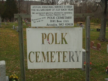
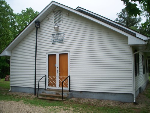
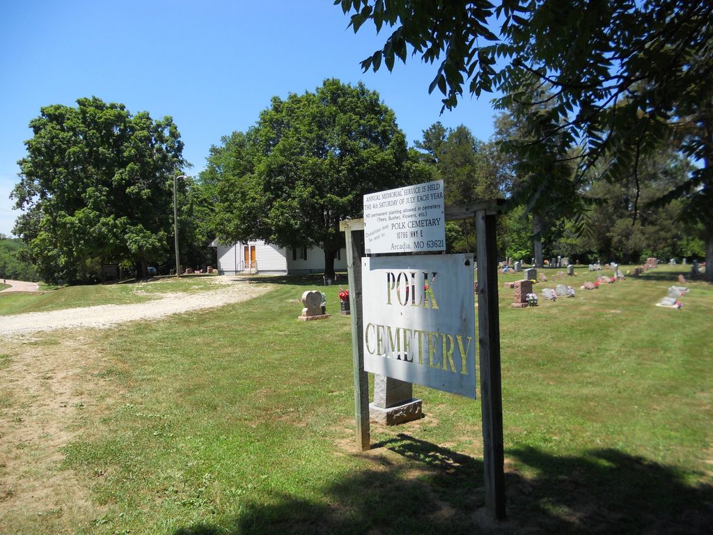
| Description | : | Polk Cemetery is located on the property with Liberty United Baptist Church, thus Liberty Polk, Highway E, Iron Co. MO. "Liberty United Baptist Church on Marble Creek was organized in 1857 by Elder Wm. Polk in the area which had recently been Madison County, with 9 charter members, 3 men and 6 women. Congregation active today in original building." 1976 Iron Co Historical Society. |
frequently asked questions (FAQ):
-
Where is Polk Cemetery?
Polk Cemetery is located at Arcadia, Iron County ,Missouri ,USA.
-
Polk Cemetery cemetery's updated grave count on graveviews.com?
15 memorials
-
Where are the coordinates of the Polk Cemetery?
Latitude: 37.4464302
Longitude: -90.5765381
Nearby Cemetories:
1. White Cemetery
Iron County, USA
Coordinate: 37.4071999, -90.5931015
2. Hurst Cemetery
Iron County, USA
Coordinate: 37.4303017, -90.6288986
3. Black Mountain Cemetery
Madison County, USA
Coordinate: 37.4556007, -90.5183029
4. Shoemaker Cemetery
Madison County, USA
Coordinate: 37.3936005, -90.5346985
5. Sutton Cemetery
Iron County, USA
Coordinate: 37.5111008, -90.6018982
6. Collins Cemetery
Minimum, Iron County, USA
Coordinate: 37.3778000, -90.5942001
7. Kelley Cemetery
Madison County, USA
Coordinate: 37.3861008, -90.5289001
8. Davis Cemetery
Madison County, USA
Coordinate: 37.3857994, -90.5294037
9. Shoemaker Cemetery
Madison County, USA
Coordinate: 37.4561005, -90.4858017
10. Allgier Cemetery
Iron County, USA
Coordinate: 37.5292015, -90.5725021
11. Allgier-Flatwoods-Lashley Graveyard
Iron County, USA
Coordinate: 37.5308700, -90.5680300
12. Rebel Cemetery
Iron County, USA
Coordinate: 37.5311012, -90.5582962
13. Barron Hollow Cemetery
Madison County, USA
Coordinate: 37.5208000, -90.5132000
14. Grell Cemetery
Madison County, USA
Coordinate: 37.5330100, -90.5462400
15. Royer Cemetery
Madison County, USA
Coordinate: 37.5208015, -90.5128021
16. Huff Cemetery
Chloride, Iron County, USA
Coordinate: 37.4608002, -90.6896973
17. Ivester Cemetery
Arcadia, Iron County, USA
Coordinate: 37.5225200, -90.6446600
18. Miller Cemetery
Madison County, USA
Coordinate: 37.4227982, -90.4625015
19. Jewett Cemetery
Madison County, USA
Coordinate: 37.3774986, -90.4966965
20. Big Creek Cemetery
Chloride, Iron County, USA
Coordinate: 37.4704704, -90.6914978
21. Berry Cemetery
Faro, Madison County, USA
Coordinate: 37.4089300, -90.4645500
22. Open Door House of Prayer Cemetery
Sabula, Iron County, USA
Coordinate: 37.4276800, -90.6970900
23. Glover Baptist Church Cemetery
Glover, Iron County, USA
Coordinate: 37.4899900, -90.6918200
24. Blanton Cemetery
Iron County, USA
Coordinate: 37.5463982, -90.5552979


