| Memorials | : | 0 |
| Location | : | Eastmanville, Ottawa County, USA |
| Coordinate | : | 43.0146660, -85.9832100 |
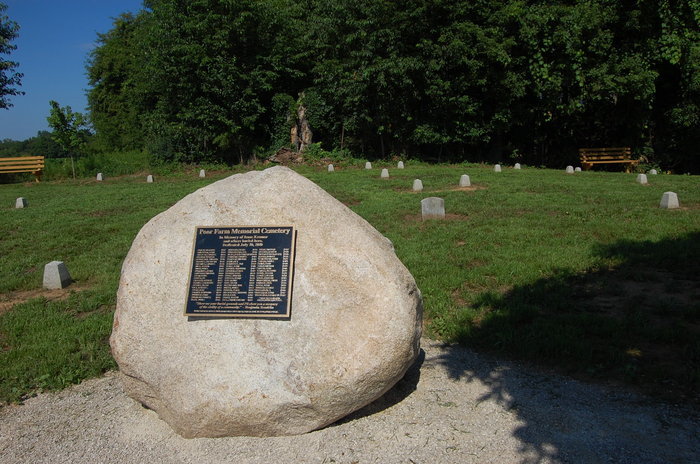
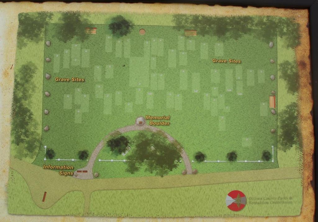
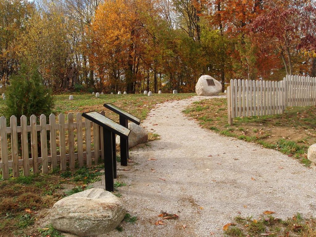
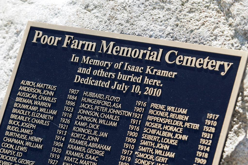
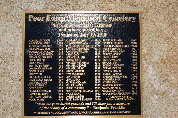
| Description | : | The land dates back to 1837. The graves are on the property of the old Ottawa County Poor Farm. Poor Farms were common in the 17th century. They were places people went to live who were poor or mentally ill and didn't have anywhere else to go. Ottawa County Commissioners addressed indigents' needs when in 1866 they purchased the property and converted it to a "Poor Farm". Many within it's vulnerable population died on the farm. Though burials from 1866-1896 were not reliably documented, there were 64 recorded interments at the farm from 1897-1931. For reasons not entirely clear, grieving... Read More |
frequently asked questions (FAQ):
-
Where is Poor Farm Cemetery?
Poor Farm Cemetery is located at Eastmanville, Ottawa County ,Michigan ,USA.
-
Poor Farm Cemetery cemetery's updated grave count on graveviews.com?
0 memorials
-
Where are the coordinates of the Poor Farm Cemetery?
Latitude: 43.0146660
Longitude: -85.9832100
Nearby Cemetories:
1. Eastmanville Cemetery
Eastmanville, Ottawa County, USA
Coordinate: 43.0176780, -85.9580400
2. Ottawa Center Cemetery
Coopersville, Ottawa County, USA
Coordinate: 43.0279007, -86.0129929
3. Allendale Township Cemetery
Allendale, Ottawa County, USA
Coordinate: 42.9987700, -85.9353590
4. Maplewood Cemetery
Lamont, Ottawa County, USA
Coordinate: 43.0111008, -85.9072037
5. Robinson Township Cemetery
Grand Haven, Ottawa County, USA
Coordinate: 43.0335210, -86.0559510
6. Rusk Cemetery
Allendale, Ottawa County, USA
Coordinate: 42.9546400, -86.0125530
7. Elmwood Cemetery
Lamont, Ottawa County, USA
Coordinate: 43.0047330, -85.8910510
8. Saint Michaels Catholic Cemetery
Coopersville, Ottawa County, USA
Coordinate: 43.0806280, -86.0073710
9. Coopersville-Polkton Cemetery
Coopersville, Ottawa County, USA
Coordinate: 43.0766900, -85.9411600
10. Advent Cemetery
Coopersville, Ottawa County, USA
Coordinate: 43.0677280, -85.8875570
11. Nunica Cemetery
Nunica, Ottawa County, USA
Coordinate: 43.0764008, -86.0916977
12. Saint Marys Cemetery
Marne, Ottawa County, USA
Coordinate: 43.0446410, -85.8432300
13. Olive Township Cemetery
West Olive, Ottawa County, USA
Coordinate: 42.9285100, -86.0716900
14. Jacob Aman Burial Ground
Grand Rapids, Kent County, USA
Coordinate: 42.9755510, -85.8361050
15. Church Cemetery
Tallmadge, Ottawa County, USA
Coordinate: 42.9529750, -85.8506440
16. Marne Cemetery
Marne, Ottawa County, USA
Coordinate: 43.0309810, -85.8238630
17. Blendon Township Cemetery
Hudsonville, Ottawa County, USA
Coordinate: 42.8992004, -85.9107971
18. Wells Cemetery
Wright Township, Ottawa County, USA
Coordinate: 43.0736008, -85.8266983
19. West Olive Cemetery
Ottawa County, USA
Coordinate: 42.9324989, -86.1216965
20. Haire Cemetery
Jenison, Ottawa County, USA
Coordinate: 42.9363260, -85.8374910
21. Lowing Cemetery
Jenison, Ottawa County, USA
Coordinate: 42.9219444, -85.8525000
22. Borculo Cemetery
Borculo, Ottawa County, USA
Coordinate: 42.8810190, -86.0208890
23. Rosedale Memorial Park
Tallmadge Township, Ottawa County, USA
Coordinate: 42.9721160, -85.7876870
24. Big Springs Cemetery
Conklin, Ottawa County, USA
Coordinate: 43.1217190, -85.8390730

