| Memorials | : | 59 |
| Location | : | Anderson, Anderson County, USA |
| Coordinate | : | 34.5373550, -82.6763400 |
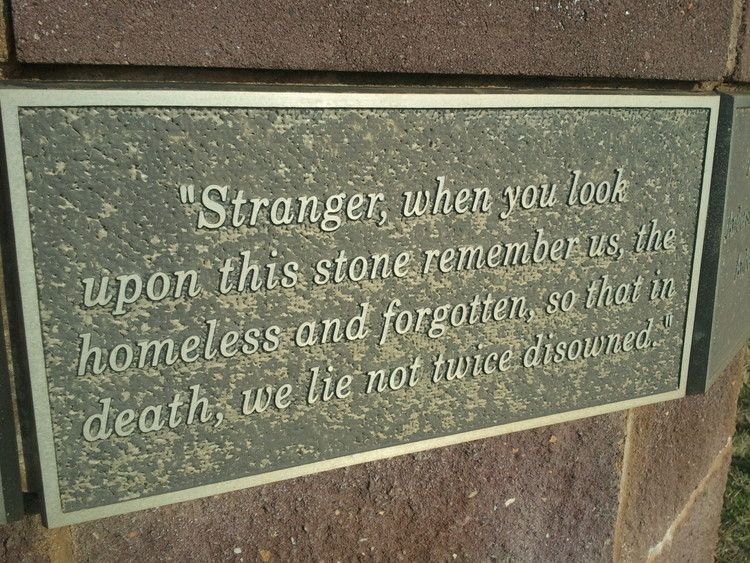
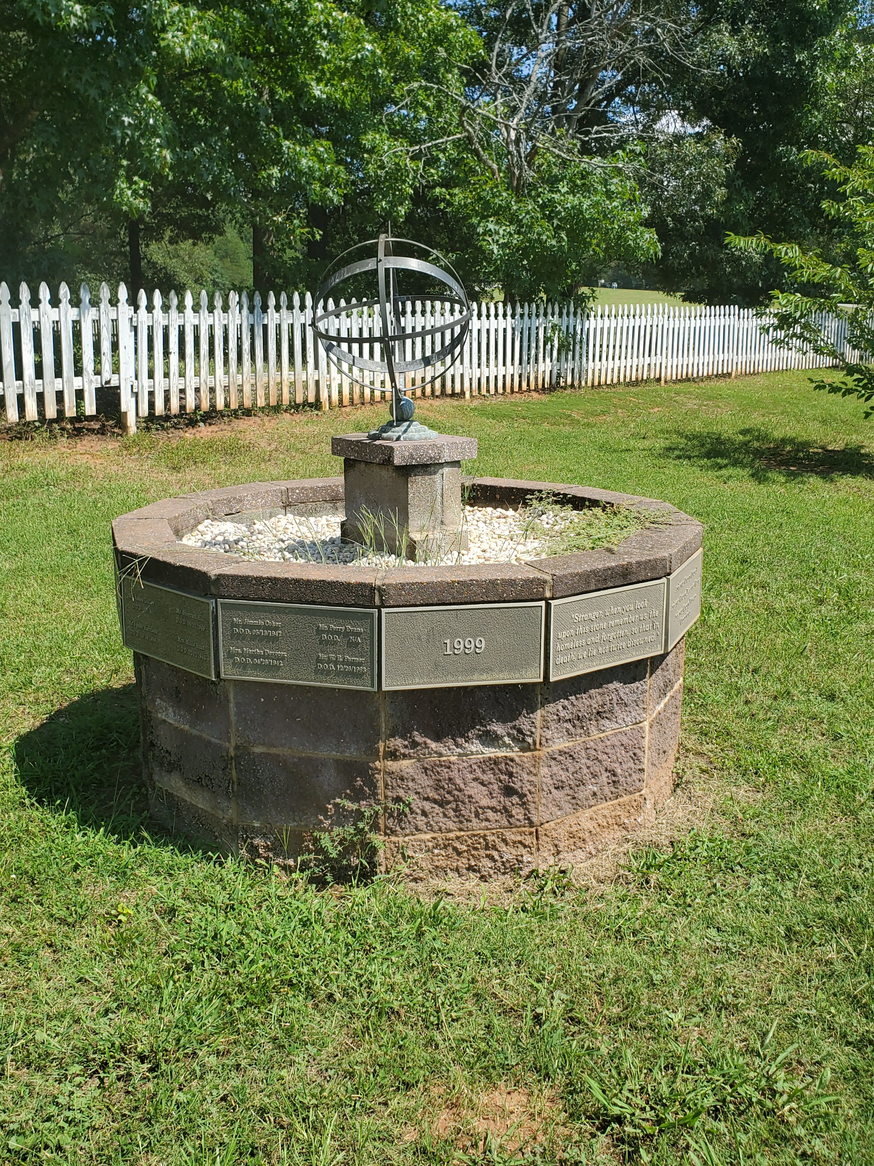
| Description | : | Anderson, South Carolina, at one time in the past, operated a facility known as "The County Home". This facility had responsibility for the overall care of those who could not provide for themselves or who had little or no assistance available through family or friends. There was a cemetery associated with the facility but it had been long forgotten until the 1999 time frame. The cemetery was rediscovered as land was cleared and construction started on a group of convention and recreational facilities. Small ground level stones have been placed on each spot that has been identified as a grave.... Read More |
frequently asked questions (FAQ):
-
Where is Poor Farm Cemetery?
Poor Farm Cemetery is located at Old County Farm Circle Anderson, Anderson County ,South Carolina , 29621USA.
-
Poor Farm Cemetery cemetery's updated grave count on graveviews.com?
59 memorials
-
Where are the coordinates of the Poor Farm Cemetery?
Latitude: 34.5373550
Longitude: -82.6763400
Nearby Cemetories:
1. Brown Family Cemetery
Centerville, Anderson County, USA
Coordinate: 34.5243480, -82.6862090
2. Salem Baptist Church Cemetery
Anderson County, USA
Coordinate: 34.5475640, -82.6954840
3. Concord Presbyterian Old
Anderson, Anderson County, USA
Coordinate: 34.5452510, -82.6518910
4. Concord Baptist Church Cemetery
Anderson, Anderson County, USA
Coordinate: 34.5449220, -82.6506300
5. Moorehead Family Cemetery
Anderson, Anderson County, USA
Coordinate: 34.5542740, -82.6572990
6. Holy Trinity Lutheran Church Columbarium
Anderson, Anderson County, USA
Coordinate: 34.5166600, -82.6519400
7. Boulevard Baptist Church Columbarium
Anderson, Anderson County, USA
Coordinate: 34.5155690, -82.6449670
8. First Presbyterian Church Cemetery
Anderson, Anderson County, USA
Coordinate: 34.5042800, -82.6542000
9. LaBoon Family Cemetery
Anderson County, USA
Coordinate: 34.4991989, -82.6735992
10. Ebenezer Baptist Church Cemetery
Anderson, Anderson County, USA
Coordinate: 34.5524700, -82.7197300
11. Saint Joseph's Catholic Church Cemetery (Defunct)
Anderson County, USA
Coordinate: 34.5050354, -82.6486661
12. Old Salem Baptist Cemetery
Anderson, Anderson County, USA
Coordinate: 34.5519380, -82.7224860
13. Anderson Memorial Gardens
Anderson, Anderson County, USA
Coordinate: 34.5043983, -82.7074966
14. First Baptist Church Cemetery
Anderson County, USA
Coordinate: 34.5030750, -82.6464940
15. Saint Johns United Methodist Church Columbarium
Anderson, Anderson County, USA
Coordinate: 34.5007640, -82.6475280
16. Oaklawn Memorial Gardens
Anderson, Anderson County, USA
Coordinate: 34.5583000, -82.6288986
17. Grace Episcopal Church
Anderson, Anderson County, USA
Coordinate: 34.4993050, -82.6470300
18. Westview Cemetery
Anderson, Anderson County, USA
Coordinate: 34.4921989, -82.6575012
19. Orr Mill Cemetery
Anderson, Anderson County, USA
Coordinate: 34.4906006, -82.6544037
20. Peter Keys Family Cemetery
Anderson, Anderson County, USA
Coordinate: 34.4878500, -82.6911500
21. Silver Brook Cemetery
Anderson, Anderson County, USA
Coordinate: 34.4928017, -82.6361008
22. New Prospect Baptist Church Cemetery
Anderson, Anderson County, USA
Coordinate: 34.5161018, -82.7391968
23. Old Welcome Baptist Church Cemetery
Sandy Springs, Anderson County, USA
Coordinate: 34.5814018, -82.7221985
24. Old Mount Tabor Baptist Church Cemetery
Anderson, Anderson County, USA
Coordinate: 34.4826590, -82.6523020


