
| Memorials | : | 0 |
| Location | : | Ragland, St. Clair County, USA |
| Coordinate | : | 33.6928000, -86.2619000 |
frequently asked questions (FAQ):
-
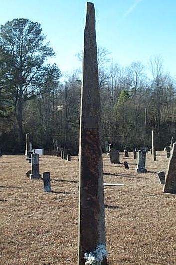
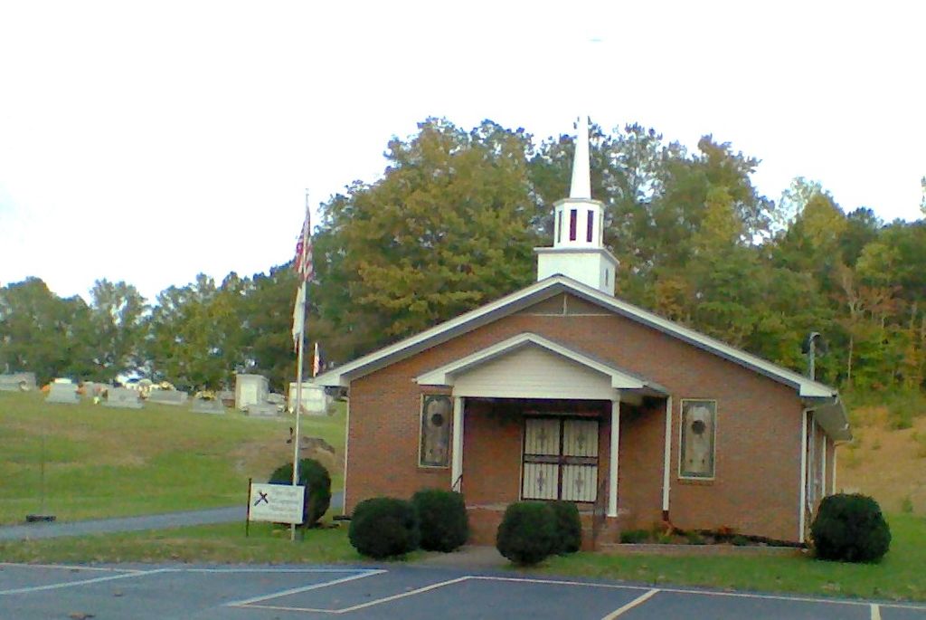
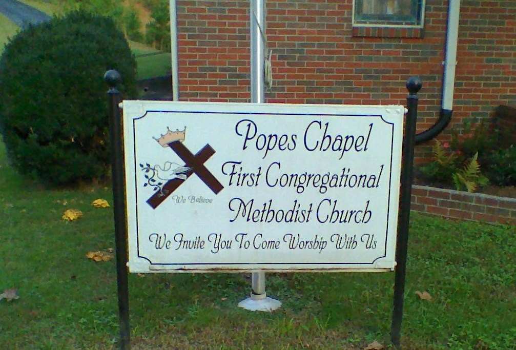
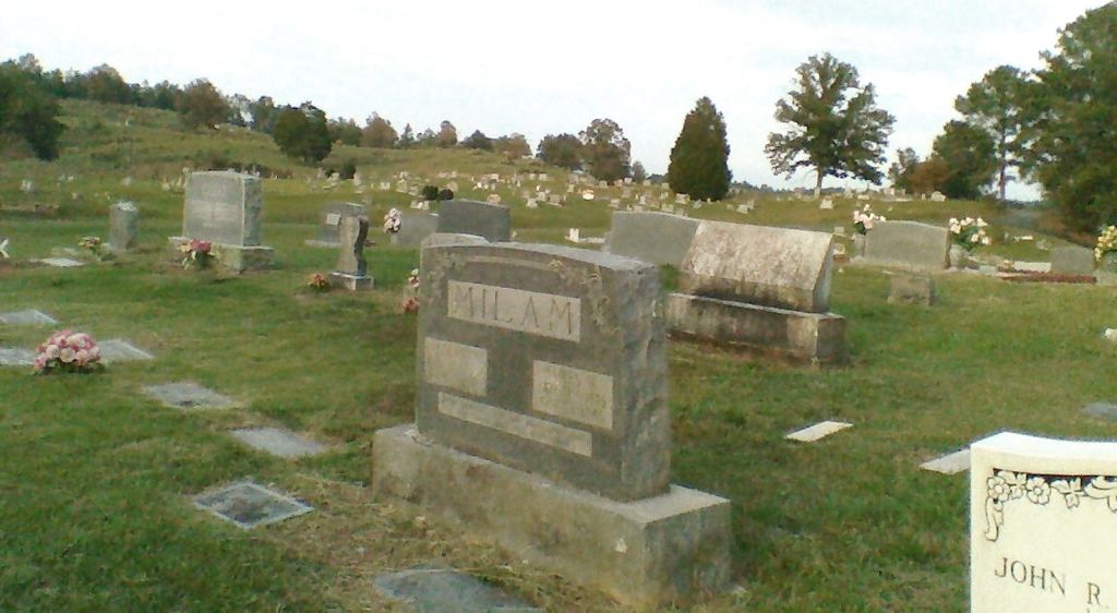
Where is Popes Chapel Methodist Church Cemetery?
Popes Chapel Methodist Church Cemetery is located at 660 Popes Chapel Rd. Ragland, St. Clair County ,Alabama , 35131USA.
-
Popes Chapel Methodist Church Cemetery cemetery's updated grave count on graveviews.com?
0 memorials
-
Where are the coordinates of the Popes Chapel Methodist Church Cemetery?
Latitude: 33.6928000
Longitude: -86.2619000
Nearby Cemetories:
1. Broken Arrow Community Cemetery
St. Clair County, USA
Coordinate: 33.6667820, -86.2664510
2. Harkeys Chapel
Wattsville, St. Clair County, USA
Coordinate: 33.6644000, -86.2556000
3. Spring Hill Cemetery
Wattsville, St. Clair County, USA
Coordinate: 33.7256012, -86.2743988
4. Saint Clair Memorial Gardens
Pell City, St. Clair County, USA
Coordinate: 33.6519012, -86.2767029
5. Old Mitchell Cemetery
St. Clair County, USA
Coordinate: 33.6838989, -86.2106018
6. Mitchell Cemetery
Ragland, St. Clair County, USA
Coordinate: 33.7393990, -86.2294006
7. Karr Cemetery
St. Clair County, USA
Coordinate: 33.6589012, -86.3210983
8. Pleasant Grove Cemetery
Riverside, St. Clair County, USA
Coordinate: 33.6458015, -86.2074966
9. Morrison Cemetery
St. Clair County, USA
Coordinate: 33.7578890, -86.2414530
10. Fairview Baptist Church Cemetery
Ragland, St. Clair County, USA
Coordinate: 33.7413020, -86.2057590
11. Hardins Chapel Cemetery
Ragland, St. Clair County, USA
Coordinate: 33.7133030, -86.1714680
12. Ash-Newton Graveyard
Ashville, St. Clair County, USA
Coordinate: 33.7631700, -86.3048380
13. Friendship Baptist Church Cemetery
Odenville, St. Clair County, USA
Coordinate: 33.7252884, -86.3489532
14. Turtle Rock Cemetery
Ragland, St. Clair County, USA
Coordinate: 33.7700400, -86.2360400
15. Pine Forest Cemetery
St. Clair County, USA
Coordinate: 33.7766620, -86.2763940
16. Unity Baptist Church Cemetery
St. Clair County, USA
Coordinate: 33.6072260, -86.2521860
17. Box Cemetery
Ragland, St. Clair County, USA
Coordinate: 33.7422500, -86.1725240
18. Evergreen United Methodist Church Cemetery
Odenville, St. Clair County, USA
Coordinate: 33.7487000, -86.3456800
19. Mount Carmel Cemetery
Eden, St. Clair County, USA
Coordinate: 33.6068993, -86.3035965
20. Wester Cemetery
St. Clair County, USA
Coordinate: 33.6927986, -86.1500015
21. Bowman Cemetery
St. Clair County, USA
Coordinate: 33.6164017, -86.3266983
22. Oak Ridge Cemetery
Pell City, St. Clair County, USA
Coordinate: 33.5995210, -86.2839490
23. Cane Creek Cemetery
Cooks Springs, St. Clair County, USA
Coordinate: 33.6347000, -86.3523600
24. Mount Zion Cemetery
Pell City, St. Clair County, USA
Coordinate: 33.5992900, -86.2838500