
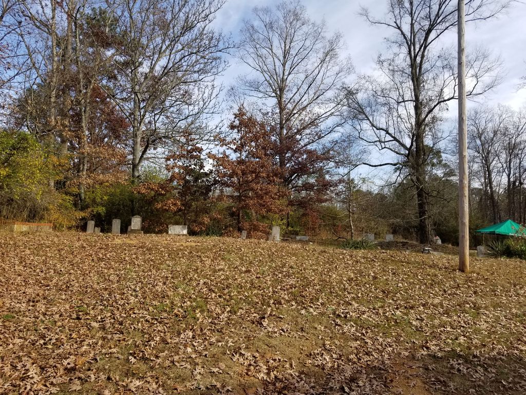
| Memorials | : | 0 |
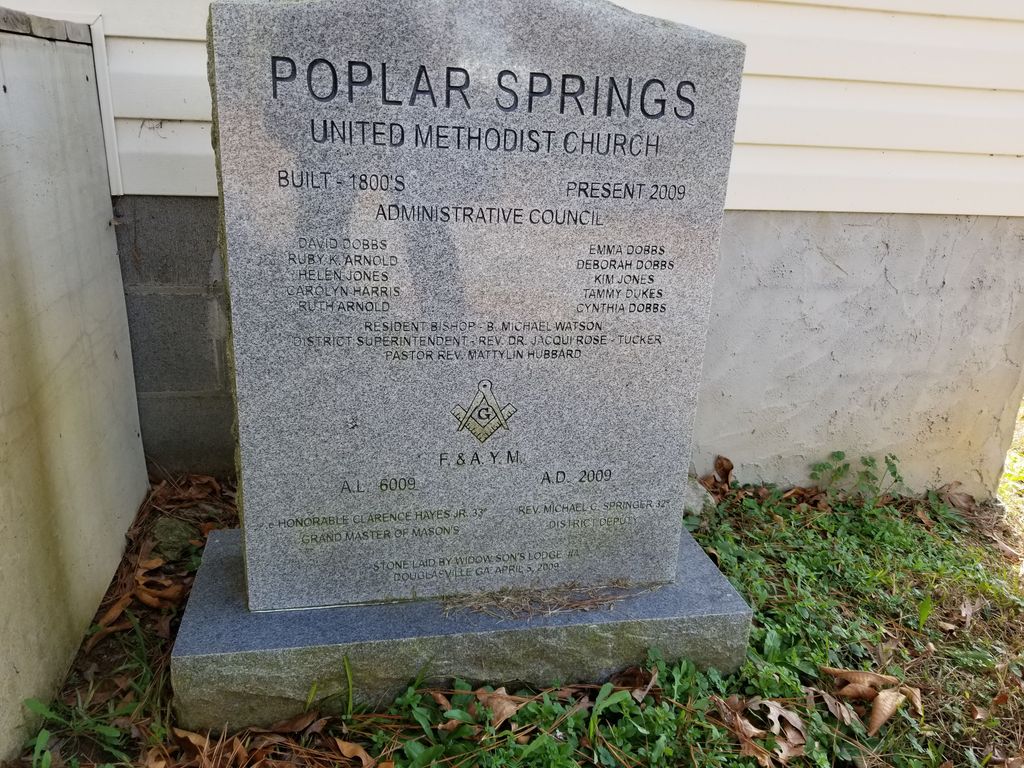
| Location | : | Sand Hill, Carroll County, USA |
| Coordinate | : | 33.6317010, -84.9728320 |
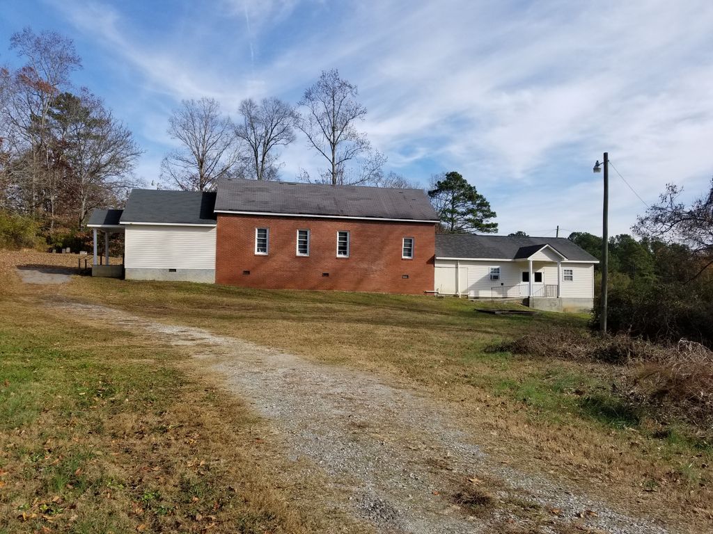
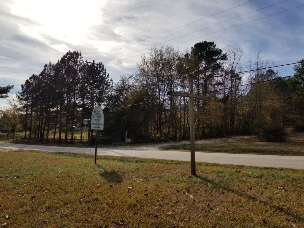
| Description | : | From Highway 166 Bypass in Carrollton, go 4.8 miles to Sand Hill. Turn right on Old Highway 61 and go 0.4 mile to Sand Hill-Hulett Road; take an immediate right on Four Notch Road. Go 0.4 mile to the church on the left. |
frequently asked questions (FAQ):
-
Where is Poplar Springs United Methodist Church Cemetery?
Poplar Springs United Methodist Church Cemetery is located at Sand Hill, Carroll County ,Georgia ,USA.
-
Poplar Springs United Methodist Church Cemetery cemetery's updated grave count on graveviews.com?
0 memorials
-
Where are the coordinates of the Poplar Springs United Methodist Church Cemetery?
Latitude: 33.6317010
Longitude: -84.9728320
Nearby Cemetories:
1. Temperance Cemetery
Carroll County, USA
Coordinate: 33.6363983, -84.9788971
2. Brown Cemetery
Sand Hill, Carroll County, USA
Coordinate: 33.6362740, -84.9793450
3. Old Carrollton Primitive Baptist Church Cemetery
Carroll County, USA
Coordinate: 33.6314011, -84.9835968
4. Midway Macedonia Baptist Church Cemetery
Villa Rica, Carroll County, USA
Coordinate: 33.6425018, -84.9708023
5. West Georgia Memorial Park
Carrollton, Carroll County, USA
Coordinate: 33.6490110, -84.9675850
6. Bethany Christian Church Cemetery
Carrollton, Carroll County, USA
Coordinate: 33.6239014, -84.9953003
7. Jordan Memorial Cemetery
Carroll County, USA
Coordinate: 33.6200500, -84.9959800
8. Mars Hill Baptist Church Cemetery
Carroll County, USA
Coordinate: 33.6133003, -84.9364014
9. New Hope Baptist Church Cemetery
Carroll County, USA
Coordinate: 33.5948050, -84.9773390
10. Shady Grove Baptist Church Cemetery
Carroll County, USA
Coordinate: 33.6408005, -85.0222015
11. King Cemetery
Carrollton, Carroll County, USA
Coordinate: 33.6092830, -84.9270310
12. Smith-Upshaw Cemetery
Temple, Carroll County, USA
Coordinate: 33.6686100, -85.0090990
13. Beulahland Baptist Church Cemetery
Carrollton, Carroll County, USA
Coordinate: 33.5928690, -85.0098680
14. Concord United Methodist Church Cemetery
Carrollton, Carroll County, USA
Coordinate: 33.6763900, -85.0006400
15. Richards Cemetery
Ithica, Carroll County, USA
Coordinate: 33.6809610, -84.9590560
16. Bright Star Cemetery
Carroll County, USA
Coordinate: 33.6046982, -84.9214020
17. Shiloh Baptist Church Cemetery
Carroll County, USA
Coordinate: 33.6068993, -85.0278015
18. Little Vine Baptist Church Cemetery
Carroll County, USA
Coordinate: 33.6441994, -84.9092026
19. Mount Carmel Church Cemetery
Cross Plains, Carroll County, USA
Coordinate: 33.5746994, -84.9744034
20. Latimer Cemetery
Carrollton, Carroll County, USA
Coordinate: 33.5815190, -85.0126790
21. Bandy Cemetery
Oak Mountain, Carroll County, USA
Coordinate: 33.5811790, -85.0128400
22. Glenn Memorial Gardens
Villa Rica, Carroll County, USA
Coordinate: 33.6725730, -84.9175040
23. Pleasant Hill Baptist Cemetery
Carroll County, USA
Coordinate: 33.5802994, -85.0136032
24. Kiser Cemetery
Carroll County, USA
Coordinate: 33.5692000, -84.9737660