
| Memorials | : | 0 |
| Location | : | Hamburg, Franklin County, USA |
| Coordinate | : | 31.5748177, -91.0879364 |
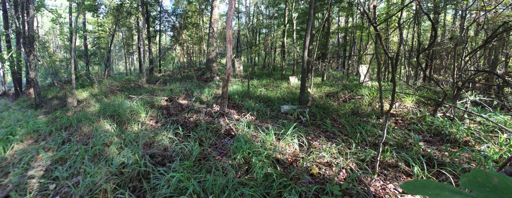
| Description | : | Prichard Cemetery, Franklin, Mississippi, United States **************************************************** Directions to Prichard Cemetery - From Hwy. 84 take Hwy. 33 North towards Hamburg. Take the first left, Stampley/Log Cabin Rd. At the Y in the road stay right on the gravel road. After 1.1 miles in the gravel road stop at the firelane on the right. Take the firelane about 75 yards north and the cemetery is about 25 yards to the right in the woods. I marked a path with orange paint in 2009. GPS coordinates: Lat. 31.57482 Lon. -91.08794 **************************************************** |
frequently asked questions (FAQ):
-
Where is Prichard Cemetery?
Prichard Cemetery is located at Hamburg, Franklin County ,Mississippi ,USA.
-
Prichard Cemetery cemetery's updated grave count on graveviews.com?
0 memorials
-
Where are the coordinates of the Prichard Cemetery?
Latitude: 31.5748177
Longitude: -91.0879364
Nearby Cemetories:
1. Bethlehem Baptist Church Cemetery
Franklin County, USA
Coordinate: 31.5668050, -91.0943520
2. Guice Cemetery
Franklin County, USA
Coordinate: 31.5844002, -91.1046982
3. Hamburg Cemetery
Franklin County, USA
Coordinate: 31.5750008, -91.0643997
4. Friendship Cemetery
Franklin County, USA
Coordinate: 31.5832996, -91.1097031
5. Fulton Cemetery
Franklin County, USA
Coordinate: 31.5538998, -91.0911026
6. Mundy Cemetery
Franklin County, USA
Coordinate: 31.5722008, -91.0631027
7. Mount Carmel Cemetery
Hamburg, Franklin County, USA
Coordinate: 31.5771999, -91.0436020
8. Old Rose Hill Cemetery
Jefferson County, USA
Coordinate: 31.6142006, -91.0535965
9. Saint Paul Cemetery
Jefferson County, USA
Coordinate: 31.6238995, -91.0932999
10. Rose Hill Baptist Church #1 Original Cemetery
McNair, Jefferson County, USA
Coordinate: 31.6175800, -91.0580100
11. Rose Hill Missionary Baptist Church Cemetery #1
Fayette, Jefferson County, USA
Coordinate: 31.6194800, -91.0555300
12. Mock Cemetery
Franklin County, USA
Coordinate: 31.5422001, -91.1380997
13. King Cemetery
Franklin County, USA
Coordinate: 31.5391998, -91.0389023
14. Hickory Grove Cemetery
Franklin County, USA
Coordinate: 31.5722008, -91.1544037
15. Dupree Cemetery
Franklin County, USA
Coordinate: 31.5268993, -91.0464020
16. Farrar Cemetery
Adams County, USA
Coordinate: 31.5753002, -91.1580963
17. Thompson Cemetery
Four Forks, Jefferson County, USA
Coordinate: 31.6152900, -91.1399000
18. Prophet Cemetery
Franklin County, USA
Coordinate: 31.5296993, -91.0372009
19. Buckles Cemetery
Natchez, Adams County, USA
Coordinate: 31.5550003, -91.1585999
20. Salem Baptist Church Cemetery
Stampley, Jefferson County, USA
Coordinate: 31.6279340, -91.1296390
21. Old Beech Grove Cemetery
Franklin County, USA
Coordinate: 31.5305996, -91.0255966
22. South McNair Cemetery
McNair, Jefferson County, USA
Coordinate: 31.6366800, -91.0460100
23. Armstrong Cemetery
Jefferson County, USA
Coordinate: 31.6228008, -91.0233002
24. Lee Cemetery
Jefferson County, USA
Coordinate: 31.6380997, -91.1335983