
| Memorials | : | 0 |
| Location | : | Paoli, Orange County, USA |
| Coordinate | : | 38.4052315, -86.4769669 |
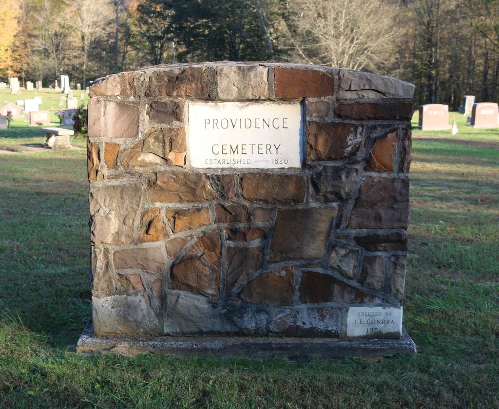
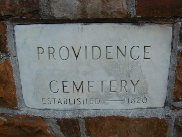
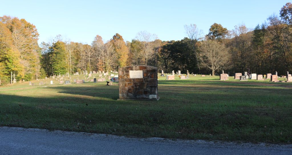
| Description | : | The cemetery is located in Greenfield Township (E Half of SE quadrant of the NE quadrant of Section 26 Township 1S Range 1W) on the south side of Providence Church Road (County Road 1075 S). Indiana Cemetery Locations, Volume 1, published by the Indiana Genealogical Society (02 April 2005), gives the primary cemetery name as Providence Cemetery. The cemetery is listed in the Cemetery and Burial Grounds Registry of the Indiana Department of Natural Resources (DNR) and in the State Historical Architectural and Archaeological Research Database (SHAARD) with Cemetery Record Number CR-59-40 (Providence Chapel). The Indiana Historic Sites... Read More |
frequently asked questions (FAQ):
-
Where is Providence Cemetery?
Providence Cemetery is located at Providence Church Road (County Road 1075 S) Paoli, Orange County ,Indiana , 47454USA.
-
Providence Cemetery cemetery's updated grave count on graveviews.com?
0 memorials
-
Where are the coordinates of the Providence Cemetery?
Latitude: 38.4052315
Longitude: -86.4769669
Nearby Cemetories:
1. Critchfield and Stone Cemetery
Greenbrier, Orange County, USA
Coordinate: 38.4037668, -86.4851864
2. Critchfield Family Cemetery
Greenbrier, Orange County, USA
Coordinate: 38.4184096, -86.4658351
3. McMahan Family Cemetery
Crawford County, USA
Coordinate: 38.3890000, -86.4506000
4. Cook-Tucker Cemetery
English, Crawford County, USA
Coordinate: 38.3936005, -86.4439011
5. Cuzzort Family Cemetery
Brownstown, Crawford County, USA
Coordinate: 38.3937000, -86.5103000
6. Harned Chapel Cemetery
Southeast Township, Orange County, USA
Coordinate: 38.4111000, -86.4334300
7. Harned Family Cemetery
Orange County, USA
Coordinate: 38.4111300, -86.4334300
8. Stewart Cemetery
Eckerty, Crawford County, USA
Coordinate: 38.3697050, -86.4669790
9. Cooks Chapel Cemetery
Paoli, Orange County, USA
Coordinate: 38.4430100, -86.4613900
10. McDonald Chapel Cemetery
Orange County, USA
Coordinate: 38.4109000, -86.5324000
11. King Cemetery
Taswell, Crawford County, USA
Coordinate: 38.3927000, -86.5309000
12. Lankford Cemetery
Taswell, Crawford County, USA
Coordinate: 38.3830000, -86.5292000
13. Jericho Cemetery
Taswell, Crawford County, USA
Coordinate: 38.3761500, -86.5377500
14. Apple Chapel Cemetery
Paoli, Orange County, USA
Coordinate: 38.4592890, -86.4951090
15. Mathers Chapel Cemetery
English, Crawford County, USA
Coordinate: 38.3596687, -86.4323959
16. Mathers Homestead Cemetery
English, Crawford County, USA
Coordinate: 38.3546000, -86.4412000
17. Teaford Cemetery
Orange County, USA
Coordinate: 38.4633713, -86.4818420
18. Longest Cemetery
English, Crawford County, USA
Coordinate: 38.3484700, -86.4427500
19. Sloan Cemetery
English, Crawford County, USA
Coordinate: 38.3422012, -86.4664001
20. Brown Cemetery
Crawford County, USA
Coordinate: 38.3530998, -86.5289001
21. English Cemetery
English, Crawford County, USA
Coordinate: 38.3378906, -86.4649887
22. Highfill Chapel Cemetery
Taswell, Crawford County, USA
Coordinate: 38.3652573, -86.5489578
23. Youngscreek Cemetery
Youngs Creek, Orange County, USA
Coordinate: 38.4738650, -86.4940710
24. Land Cemetery
English, Crawford County, USA
Coordinate: 38.3353004, -86.4757996