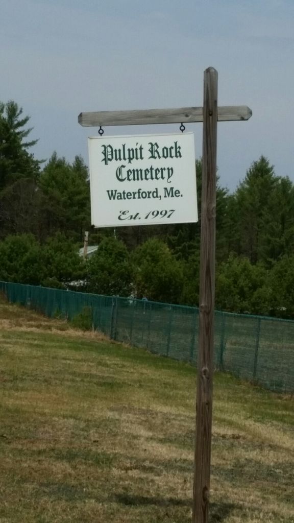
| Memorials | : | 32 |
| Location | : | East Waterford, Oxford County, USA |
| Coordinate | : | 44.2257770, -70.6986170 |
| Description | : | The PUlpit Rock Cemetery is on the East side of Route 118 between the E. Waterford corner where route 37 turns off and the corner by Papoose Pond where the Hunt Road takes a Right at the Y in the road. The Pulpit Rock Cemetery sits next to a ball field. If headed north, north west, one comes to the cemetery first and next there is the ball field. The cemetery gets its name from an elevation east of the Crooked River in that area that looks like a church pulpit. |
frequently asked questions (FAQ):
-
Where is Pulpit Rock Cemetery?
Pulpit Rock Cemetery is located at East Waterford, Oxford County ,Maine ,USA.
-
Pulpit Rock Cemetery cemetery's updated grave count on graveviews.com?
32 memorials
-
Where are the coordinates of the Pulpit Rock Cemetery?
Latitude: 44.2257770
Longitude: -70.6986170
Nearby Cemetories:
1. Bisbeetown Cemetery
Waterford, Oxford County, USA
Coordinate: 44.2453003, -70.7316971
2. Holt Cemetery
Norway, Oxford County, USA
Coordinate: 44.2292358, -70.6497852
3. Merrill Hill Cemetery
Norway, Oxford County, USA
Coordinate: 44.2583008, -70.6778030
4. Chapel Cemetery
Norway, Oxford County, USA
Coordinate: 44.2514000, -70.6513977
5. Hall Cemetery
Norway, Oxford County, USA
Coordinate: 44.2078472, -70.6286735
6. Woodlawn Cemetery
North Waterford, Oxford County, USA
Coordinate: 44.2249985, -70.7769012
7. Lakeview Cemetery
Norway, Oxford County, USA
Coordinate: 44.2287520, -70.6181280
8. Baker Cemetery
Waterford, Oxford County, USA
Coordinate: 44.1780850, -70.6487700
9. Norway Center Cemetery
Norway, Oxford County, USA
Coordinate: 44.2360660, -70.6161180
10. Elm Vale Cemetery
South Waterford, Oxford County, USA
Coordinate: 44.1609650, -70.7244870
11. Pike Family Cemetery
South Waterford, Oxford County, USA
Coordinate: 44.1689137, -70.7494030
12. Patch Mountain Cemetery
Greenwood, Oxford County, USA
Coordinate: 44.2977982, -70.6686020
13. Hillside Cemetery
East Stoneham, Oxford County, USA
Coordinate: 44.2489840, -70.8062260
14. Hunts Corner Cemetery
Albany, Oxford County, USA
Coordinate: 44.2958333, -70.7606667
15. Howard Family Cemetery
Harrison, Cumberland County, USA
Coordinate: 44.1382620, -70.6647070
16. Richardson Hollow Cemetery
Greenwood, Oxford County, USA
Coordinate: 44.2916985, -70.6108017
17. Harrison Lutheran Cemetery
Harrison, Cumberland County, USA
Coordinate: 44.1387860, -70.6481930
18. Woodsum Cemetery #15
Harrison, Cumberland County, USA
Coordinate: 44.1356000, -70.6556000
19. Glines Cemetery
Bridgton, Cumberland County, USA
Coordinate: 44.1278916, -70.7028052
20. Haskell Cemetery
Sweden, Oxford County, USA
Coordinate: 44.1422005, -70.7827988
21. Sanderson Cemetery
Sweden, Oxford County, USA
Coordinate: 44.1561012, -70.8056030
22. Pikes Hill Cemetery
Norway, Oxford County, USA
Coordinate: 44.2053947, -70.5551147
23. Summit Hill Cemetery
Harrison, Cumberland County, USA
Coordinate: 44.1269770, -70.6354860
24. Keen Cemetery
Harrison, Cumberland County, USA
Coordinate: 44.1226300, -70.6495730

