
| Memorials | : | 110 |
| Location | : | North Hampton, Clark County, USA |
| Coordinate | : | 39.9843890, -83.9225640 |
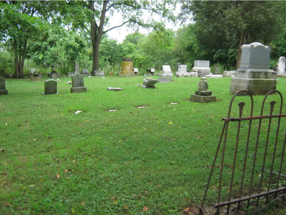
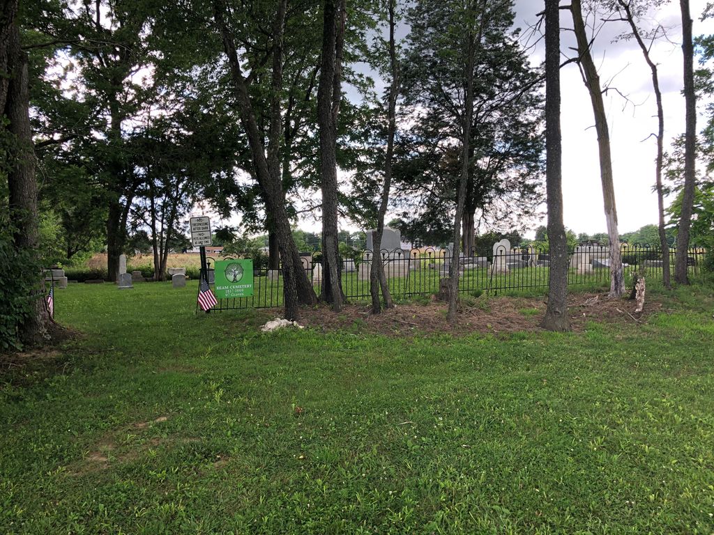
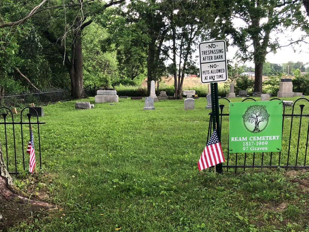
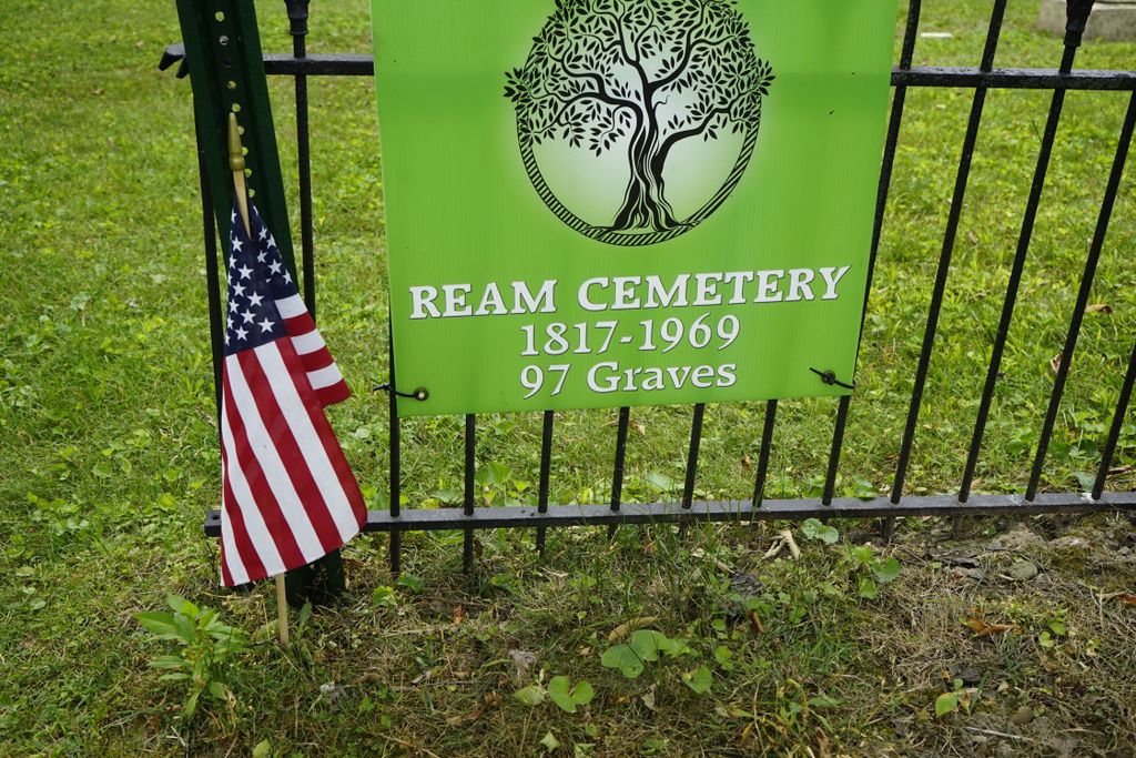
| Description | : | The cemetery is located about 0.2 mile west of Shrine Road about 0.4 mile south of its intersection with Troy Road (Ohio State Route 41). The cemetery can be accessed by travelling back the entrance lane to the Northwest Amateur Athletics Association Roman Field. The cemetery is located in German Township, Clark County, Ohio, and is # 1639 (Ream Cemetery) in "Ohio Cemeteries 1803-2003", compiled by the Ohio Genealogical Society. June 2021 : Several Headstones have been Vandalized and damaged. The tops have been removed, laying on the ground; some of these are not near the marker base. You turn... Read More |
frequently asked questions (FAQ):
-
Where is Ream Cemetery?
Ream Cemetery is located at 3735 Shrine Road North Hampton, Clark County ,Ohio , 45502USA.
-
Ream Cemetery cemetery's updated grave count on graveviews.com?
110 memorials
-
Where are the coordinates of the Ream Cemetery?
Latitude: 39.9843890
Longitude: -83.9225640
Nearby Cemetories:
1. Flick Cemetery
North Hampton, Clark County, USA
Coordinate: 39.9931410, -83.9127000
2. Asbury Cemetery
North Hampton, Clark County, USA
Coordinate: 39.9967003, -83.9372025
3. Sims Chapel Cemetery
Lawrenceville, Clark County, USA
Coordinate: 39.9664860, -83.8997620
4. Myers Cemetery
North Hampton, Clark County, USA
Coordinate: 39.9688988, -83.9511032
5. Lawrenceville Cemetery
Lawrenceville, Clark County, USA
Coordinate: 39.9860000, -83.8730000
6. Jerusalem Cemetery
Clark County, USA
Coordinate: 40.0257988, -83.9214020
7. Callison Cemetery
Springfield, Clark County, USA
Coordinate: 39.9516983, -83.8822021
8. Bethel Baptist Church Cemetery
New Carlisle, Clark County, USA
Coordinate: 39.9386711, -83.9274292
9. Emmanuel Cemetery
Durbin, Clark County, USA
Coordinate: 40.0074997, -83.9800034
10. Vale Cemetery
Springfield, Clark County, USA
Coordinate: 39.9371986, -83.8846970
11. Liberty Cemetery
Clark County, USA
Coordinate: 39.9565960, -83.9855750
12. Newson Cemetery
Christiansburg, Champaign County, USA
Coordinate: 40.0425900, -83.9449200
13. Beech Grove Cemetery
Clark County, USA
Coordinate: 40.0177994, -83.9888992
14. Zerkle Cemetery
Champaign County, USA
Coordinate: 40.0428009, -83.8981018
15. Mount Zion Cemetery
Springfield, Clark County, USA
Coordinate: 39.9811880, -83.8418690
16. Garver Cemetery
Clark County, USA
Coordinate: 39.9344120, -83.9765860
17. Old Donnelsville Cemetery
Donnelsville, Clark County, USA
Coordinate: 39.9233932, -83.9521561
18. Donnelsville Cemetery
Donnelsville, Clark County, USA
Coordinate: 39.9216995, -83.9471970
19. Blacks Cemetery
New Carlisle, Clark County, USA
Coordinate: 39.9796982, -84.0085983
20. Frantz-Ebersole Cemetery
Clark County, USA
Coordinate: 39.9180820, -83.9014680
21. Shaffer Cemetery
Terre Haute, Champaign County, USA
Coordinate: 40.0467540, -83.8848430
22. Wildason Animal Cemetery
Donnelsville, Clark County, USA
Coordinate: 39.9193993, -83.9546967
23. Mount Calvary Cemetery
Tremont City, Clark County, USA
Coordinate: 40.0119019, -83.8392029
24. Keifer Cemetery
Clark County, USA
Coordinate: 39.9120000, -83.9160000