
| Memorials | : | 0 |
| Location | : | Red Lick, Jefferson County, USA |
| Coordinate | : | 31.8080997, -90.9981003 |
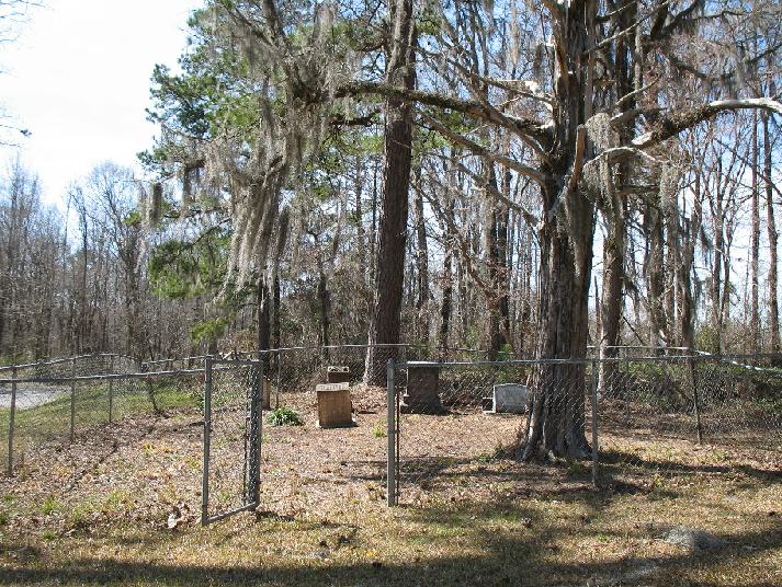
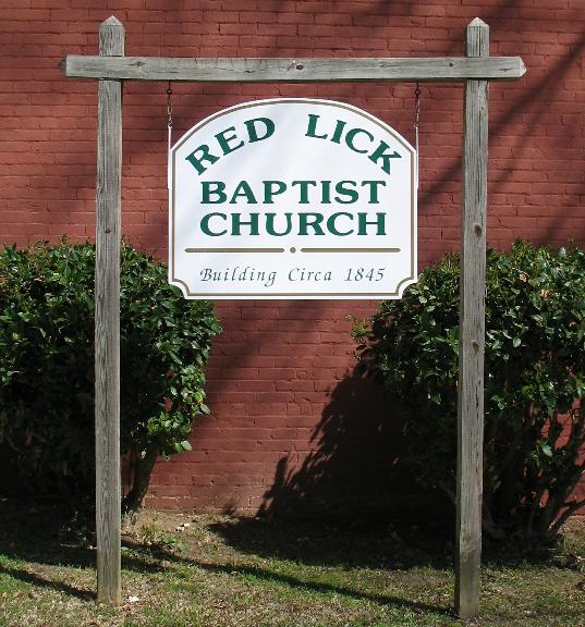
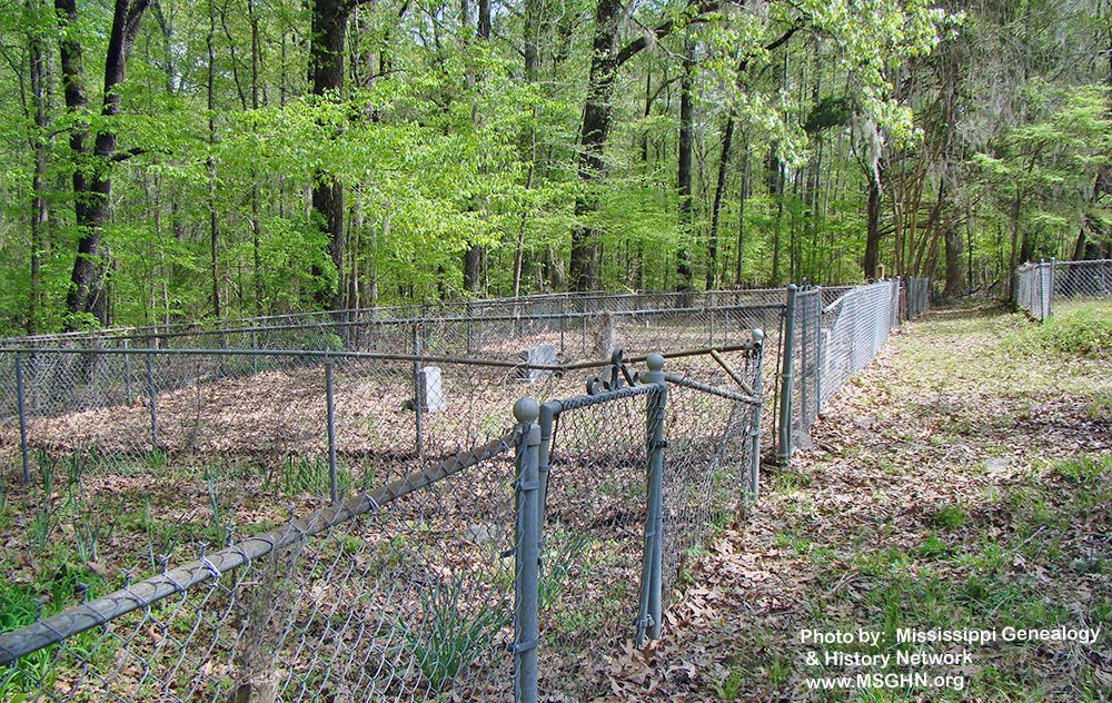
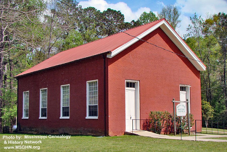
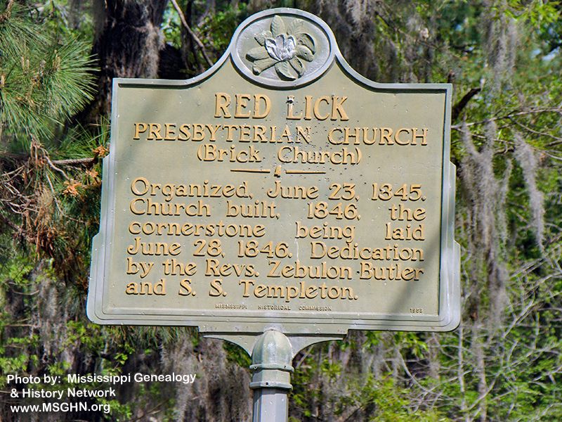
| Description | : | The church was originally known as the Red Lick Presbyterian Church which was organized in 1845 with the church being constructed in 1846. The cornerstone was laid on June 28, 1846 with the dedication by Revs Zebulon Butler and S. S. Templeton. It is now known as the Red Lick Baptist Church. The cemetery is divided into three sections. The first (and oldest) is across Woodvine Road from the church, the second is in front of the church, and the third section is in the rear of the church.” |
frequently asked questions (FAQ):
-
Where is Red Lick Cemetery?
Red Lick Cemetery is located at Red Lick, Jefferson County ,Mississippi ,USA.
-
Red Lick Cemetery cemetery's updated grave count on graveviews.com?
0 memorials
-
Where are the coordinates of the Red Lick Cemetery?
Latitude: 31.8080997
Longitude: -90.9981003
Nearby Cemetories:
1. Cherry Hill Cemetery
Red Lick, Jefferson County, USA
Coordinate: 31.7964001, -90.9897003
2. Darden-Killingsworth Cemetery
Red Lick, Jefferson County, USA
Coordinate: 31.8022670, -90.9657670
3. Rose Hill Christian Church Cemetery
Red Lick, Jefferson County, USA
Coordinate: 31.8311300, -90.9706600
4. East Mount Olive Baptist Church Cemetery
Red Lick, Jefferson County, USA
Coordinate: 31.7830000, -90.9685000
5. Beech Hill Cemetery
Jefferson County, USA
Coordinate: 31.7772007, -90.9682999
6. Chamberlain Cemetery
Melton, Jefferson County, USA
Coordinate: 31.7774800, -91.0368000
7. Jessamine Ridge Baptist Cemetery
Melton, Jefferson County, USA
Coordinate: 31.7875000, -91.0463400
8. Shaw Cemetery
Lorman, Jefferson County, USA
Coordinate: 31.8163800, -91.0519500
9. Bailey Family Cemetery
Stonington, Jefferson County, USA
Coordinate: 31.7608600, -91.0201300
10. Cane Ridge Cemetery
Lorman, Jefferson County, USA
Coordinate: 31.8150005, -91.0578003
11. Wade Family Cemetery
Lorman, Jefferson County, USA
Coordinate: 31.8381004, -90.9483032
12. McCaa Cemetery
Jefferson County, USA
Coordinate: 31.8589001, -91.0164032
13. Stephens Cemetery
Jefferson County, USA
Coordinate: 31.7572002, -90.9618988
14. China Grove Cemetery
Jefferson County, USA
Coordinate: 31.8330994, -91.0646973
15. Waterloo Cemetery
Jefferson County, USA
Coordinate: 31.8439007, -91.0591965
16. Awesome Christ Warriors Outreach Tabernacle
Tillman, Claiborne County, USA
Coordinate: 31.8592900, -90.9544300
17. Trimble Cemetery
Port Gibson, Claiborne County, USA
Coordinate: 31.8623600, -91.0391500
18. Costley Family Cemetery
Stonington, Jefferson County, USA
Coordinate: 31.7452900, -91.0223500
19. Sims Cemetery
Jefferson County, USA
Coordinate: 31.7418995, -91.0017014
20. Saint Anthonys Cemetery
Harriston, Jefferson County, USA
Coordinate: 31.7411500, -91.0225800
21. Russum Cemetery
Russum, Claiborne County, USA
Coordinate: 31.8784830, -91.0123830
22. Homeless Cemetery
Jefferson County, USA
Coordinate: 31.7791996, -90.9180984
23. Holly Hill Cemetery
Claiborne County, USA
Coordinate: 31.8796997, -91.0216980
24. Cora Buck Graveyard
Harriston, Jefferson County, USA
Coordinate: 31.7342700, -91.0163500