
| Memorials | : | 10 |
| Location | : | Bloomville, Seneca County, USA |
| Coordinate | : | 41.0556100, -83.0157500 |
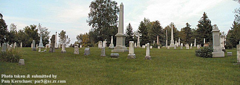
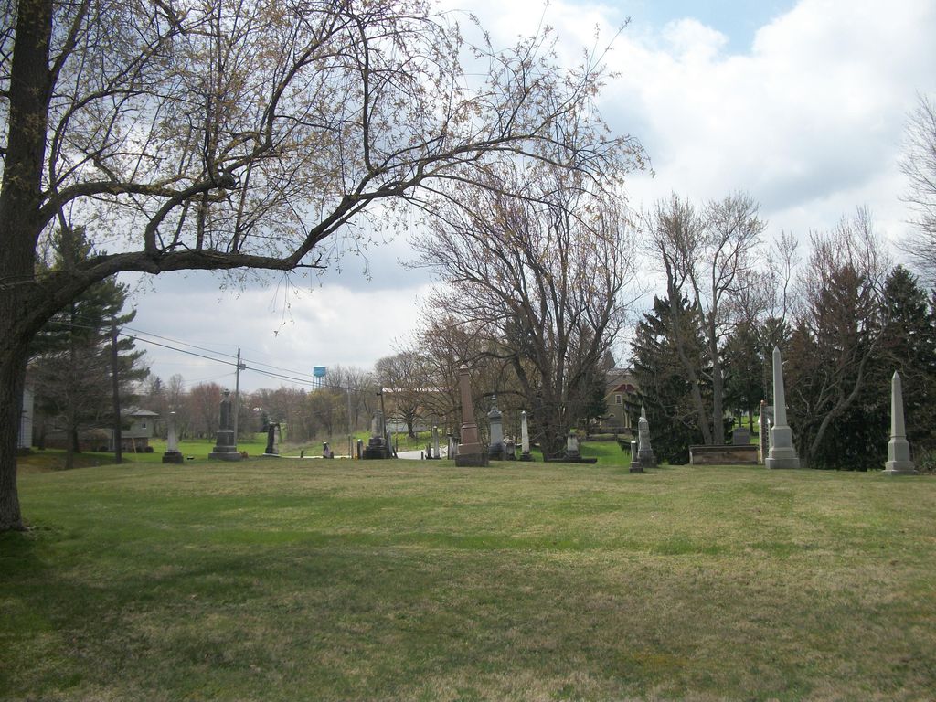
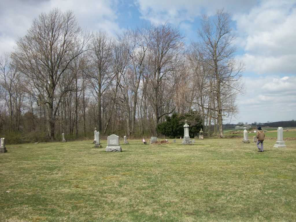
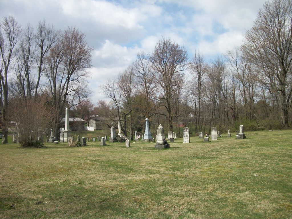
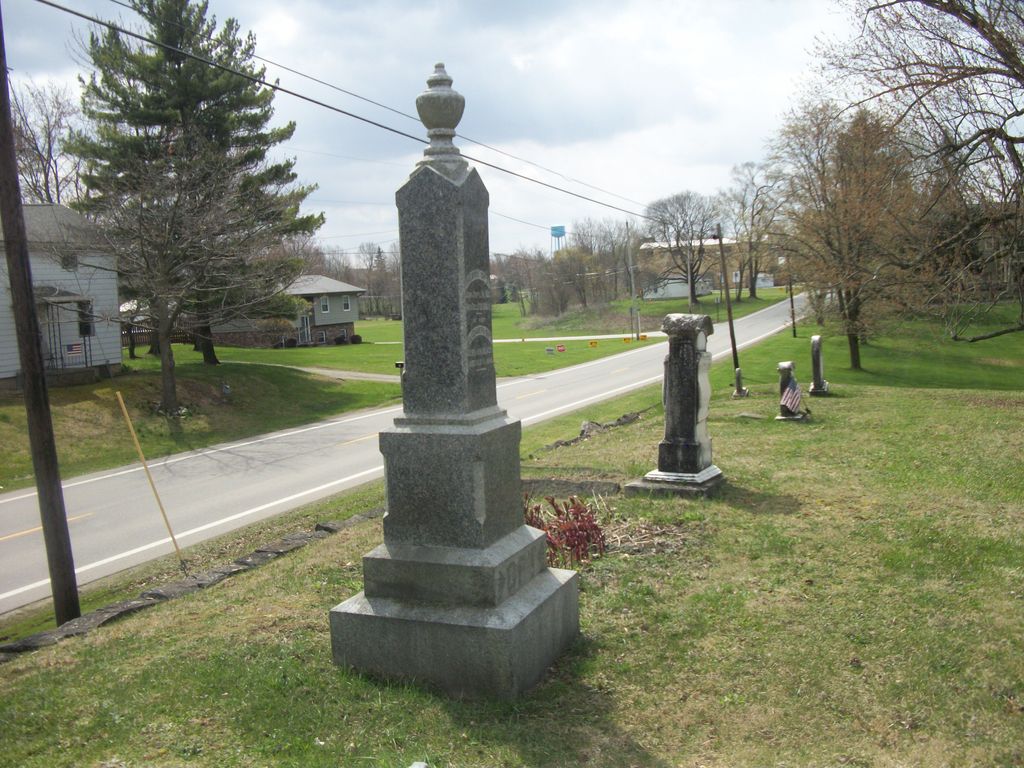
| Description | : | West side SR 19 on north edge of Bloomville in Bloom Township The cemetery is located on the west side of North Marion Street (Ohio State Route 19) about 300 feet north of its intersection with North Street in Bloomville. The cemetery is located in Bloom Township, Seneca County, Ohio, and is # 11083 (Reformed Church Cemetery / Reformed Cemetery) in “Ohio Cemeteries 1803-2003”, compiled by the Ohio Genealogical Society. The U.S. Geological Survey (USGS) Geographic Names Information System (GNIS) feature ID for the cemetery is 1730854 (Reformed Cemetery). |
frequently asked questions (FAQ):
-
Where is Reformed Church Cemetery?
Reformed Church Cemetery is located at North Marion Street (Ohio State Route 19) Bloomville, Seneca County ,Ohio , 44818USA.
-
Reformed Church Cemetery cemetery's updated grave count on graveviews.com?
10 memorials
-
Where are the coordinates of the Reformed Church Cemetery?
Latitude: 41.0556100
Longitude: -83.0157500
Nearby Cemetories:
1. Bloomville Quarry Cemetery
Bloomville, Seneca County, USA
Coordinate: 41.0671210, -83.0125090
2. Woodlawn Cemetery
Bloomville, Seneca County, USA
Coordinate: 41.0564003, -83.0335999
3. Dunkard Cemetery
Bloomville, Seneca County, USA
Coordinate: 41.0737520, -83.0149810
4. Bloom Township Cemetery
Bloomville, Seneca County, USA
Coordinate: 41.0370890, -83.0468560
5. Mennonite Cemetery
Seneca County, USA
Coordinate: 41.0378300, -82.9740800
6. Scipio Township Cemetery
Scipio, Seneca County, USA
Coordinate: 41.0956110, -83.0054687
7. Pleasant View Cemetery
Bloomville, Seneca County, USA
Coordinate: 41.0217200, -83.0551900
8. Saint Stephens Cemetery
Seneca County, USA
Coordinate: 41.0231018, -82.9682999
9. Rock Creek Cemetery
Rockaway, Seneca County, USA
Coordinate: 41.0668983, -83.0947037
10. Meyer Cemetery
Seneca County, USA
Coordinate: 41.0813980, -82.9428980
11. Farewell Retreat Cemetery
Republic, Seneca County, USA
Coordinate: 41.1172800, -83.0132500
12. East Baseline Baptist Cemetery
Bloomville, Seneca County, USA
Coordinate: 40.9939520, -83.0111440
13. Baseline Cemetery
Crawford County, USA
Coordinate: 40.9933460, -83.0598910
14. Chapel Hill Cemetery
Melmore, Seneca County, USA
Coordinate: 41.0207970, -83.0981930
15. Brillhart Cemetery
Chatfield, Crawford County, USA
Coordinate: 40.9933895, -82.9587989
16. Windfall Lutheran Cemetery
Chatfield, Crawford County, USA
Coordinate: 40.9869440, -82.9589610
17. Armstrong Cemetery
Seneca County, USA
Coordinate: 41.1246986, -82.9447021
18. Smith Cemetery
Caroline, Seneca County, USA
Coordinate: 41.0371710, -82.8999160
19. Caroline Burying Ground
Caroline, Seneca County, USA
Coordinate: 41.0469320, -82.8962070
20. Rock Run Cemetery
Tiffin, Seneca County, USA
Coordinate: 41.0780410, -83.1321470
21. West Caroline Lutheran Cemetery
Caroline, Seneca County, USA
Coordinate: 41.0524900, -82.8953700
22. Kennedy Cemetery
Lykens, Crawford County, USA
Coordinate: 40.9650564, -82.9924112
23. Buchman Cemetery
Crawford County, USA
Coordinate: 40.9925561, -82.9242020
24. Clay-Groscost Cemetery
Seneca County, USA
Coordinate: 41.1455130, -82.9813030