
| Memorials | : | 32 |
| Location | : | Osgoode, Ottawa Municipality, Canada |
| Coordinate | : | 45.1036300, -75.5520500 |
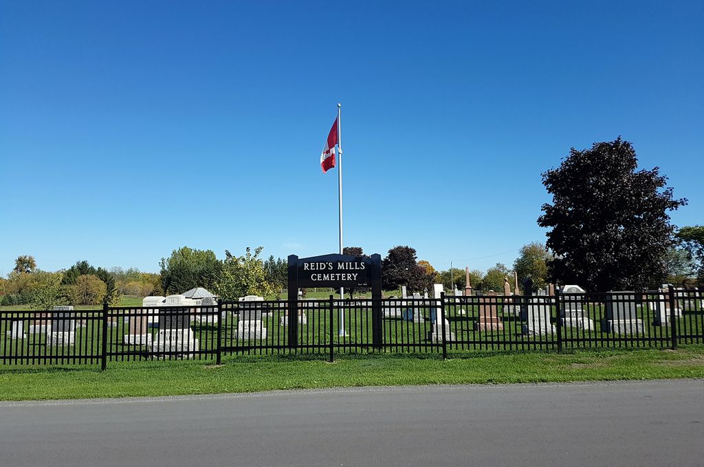
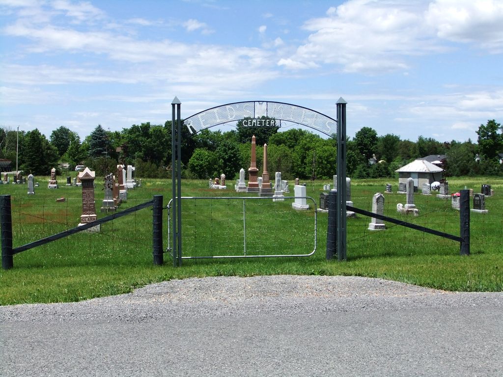
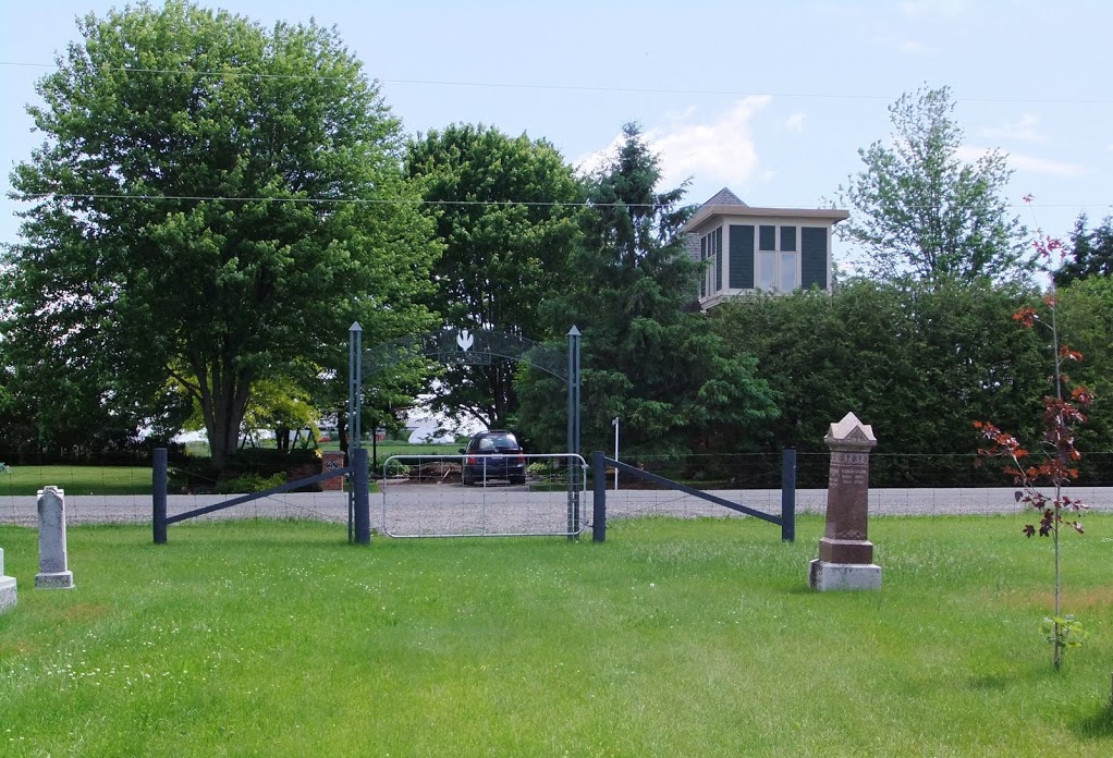
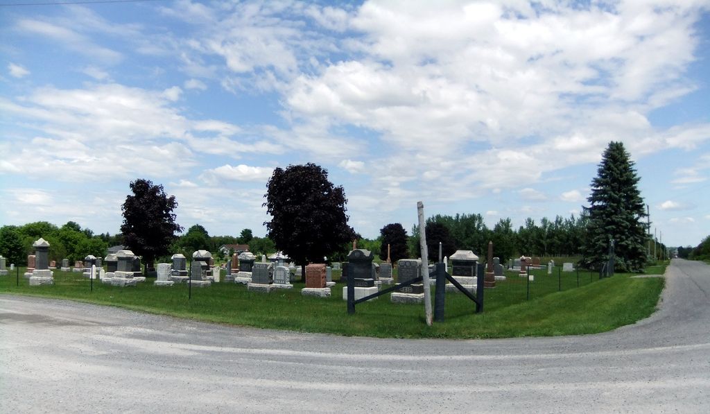
| Description | : | This is a small rural cemetery south of the village of Osgoode within the boundaries of the city of Ottawa. Historically this location was in Osgoode Township, Carleton County, Ontario. The cemetery is located at the corner of Belmeade Road and Stagecoach Road in Conc. 2, Lot 42, of former Osgoode Twp., on land that was donated by the family of Robert Marlin. The cemetery was established in 1852 along with a log church for the local Presbyterians. A brick church was later built across the street in 1901 which was known as Reids Mills Presbyterian Church. The church was closed... Read More |
frequently asked questions (FAQ):
-
Where is Reid's Mills Cemetery?
Reid's Mills Cemetery is located at 6035 Belmeade Rd Osgoode, Ottawa Municipality ,Ontario , K0A 2W0Canada.
-
Reid's Mills Cemetery cemetery's updated grave count on graveviews.com?
32 memorials
-
Where are the coordinates of the Reid's Mills Cemetery?
Latitude: 45.1036300
Longitude: -75.5520500
Nearby Cemetories:
1. Prescott Road Union Cemetery
Osgoode, Ottawa Municipality, Canada
Coordinate: 45.1574840, -75.5709650
2. Elmview Cemetery
Kars, Ottawa Municipality, Canada
Coordinate: 45.1438890, -75.6463890
3. D. Guy Farm Cemetery
Brinston, Stormont, Dundas and Glengarry United Counties, Canada
Coordinate: 45.0334000, -75.4993300
4. Rideauvale Cemetery
Kars, Ottawa Municipality, Canada
Coordinate: 45.1545944, -75.6493225
5. Van Camp United Church Cemetery
VanCamp, Stormont, Dundas and Glengarry United Counties, Canada
Coordinate: 45.0451460, -75.4458620
6. South Gower Cemetery
South Gower, Leeds and Grenville United Counties, Canada
Coordinate: 45.0080338, -75.5640259
7. Saint John The Evangelist Cemetery
Enniskerry, Ottawa Municipality, Canada
Coordinate: 45.1995890, -75.5681330
8. Kemptville Public Cemetery
Kemptville, Leeds and Grenville United Counties, Canada
Coordinate: 45.0245800, -75.6447300
9. Springhill Cemetery
Spring Hill, Ottawa Municipality, Canada
Coordinate: 45.1926080, -75.4766540
10. Saint Paul's Anglican Cemetery
Becketts Landing, Ottawa Municipality, Canada
Coordinate: 45.0503560, -75.6880560
11. Saint James Anglican Cemetery
Kemptville, Leeds and Grenville United Counties, Canada
Coordinate: 45.0160300, -75.6489300
12. Jewish Memorial Gardens Osgoode Cemetery
Herbert Corners, Ottawa Municipality, Canada
Coordinate: 45.2138800, -75.5750100
13. Saint Brigid Cemetery
Manotick, Ottawa Municipality, Canada
Coordinate: 45.1997980, -75.6381000
14. Knight's Cemetery
Inkerman, Stormont, Dundas and Glengarry United Counties, Canada
Coordinate: 45.0441300, -75.4136200
15. Holy Cross Cemetery
Kemptville, Leeds and Grenville United Counties, Canada
Coordinate: 45.0131000, -75.6544000
16. Holy Trinity Anglican Church Cemetery
North Gower, Ottawa Municipality, Canada
Coordinate: 45.1261110, -75.7155560
17. North Gower Union Cemetery
North Gower, Ottawa Municipality, Canada
Coordinate: 45.1313890, -75.7219440
18. Ottawa Muslim Cemetery
Ottawa, Ottawa Municipality, Canada
Coordinate: 45.2252810, -75.6147670
19. Inkerman Wesleyan Methodist
Inkerman, Stormont, Dundas and Glengarry United Counties, Canada
Coordinate: 45.0378370, -75.3932470
20. Brown's Cemetery
Winchester, Stormont, Dundas and Glengarry United Counties, Canada
Coordinate: 45.0882500, -75.3663600
21. Saint Peter's Anglican Cemetery
South Mountain, Stormont, Dundas and Glengarry United Counties, Canada
Coordinate: 45.0034050, -75.4145880
22. South Mountain Union Cemetery
South Mountain, Stormont, Dundas and Glengarry United Counties, Canada
Coordinate: 44.9785970, -75.4610540
23. Saint Catherine's Cemetery
Metcalfe, Ottawa Municipality, Canada
Coordinate: 45.2337900, -75.4684300
24. St. John The Baptist Anglican Church Cemetery
Pierces Corners, Ottawa Municipality, Canada
Coordinate: 45.0927780, -75.7555560