
| Memorials | : | 2 |
| Location | : | Milltown, Hutchinson County, USA |
| Coordinate | : | 43.4024000, -97.7391000 |
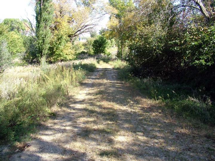
| Description | : | The Seventh-day Adventist Church at this site was started on April 9, 1882. A church building was built in the summer of 1882 on Philipp Reiswig's property, on the banks of the James River. We have called this the Reiswig Seventh-day Adventist Cemetery because of the person who donated the land, and to distinguish it from the Seventh-day Adventist Cemetery six miles to the north, the Suelzle Seventh-Day Adventist Cemetery. The location of this Church and Cemetery were found on February 18, 2012. The GPS Coordinates of the Cemetery are: 43.40240, -97.7391 The GPS Coordinates of the Church Foundation are: 43.40251,... Read More |
frequently asked questions (FAQ):
-
Where is Reiswig Seventh-day Adventist Cemetery?
Reiswig Seventh-day Adventist Cemetery is located at Milltown, Hutchinson County ,South Dakota ,USA.
-
Reiswig Seventh-day Adventist Cemetery cemetery's updated grave count on graveviews.com?
2 memorials
-
Where are the coordinates of the Reiswig Seventh-day Adventist Cemetery?
Latitude: 43.4024000
Longitude: -97.7391000
Nearby Cemetories:
1. Saint Johns Lutheran Cemetery
Olivet, Hutchinson County, USA
Coordinate: 43.3575090, -97.7385340
2. Baumbach Cemetery
Olivet, Hutchinson County, USA
Coordinate: 43.3583240, -97.7178170
3. Milltown Hutterite Cemetery
Milltown, Hutchinson County, USA
Coordinate: 43.4297084, -97.7924666
4. Tschetter Hutterite Colony Cemetery
Hutchinson County, USA
Coordinate: 43.3692955, -97.6905953
5. Milltown Cemetery
Milltown, Hutchinson County, USA
Coordinate: 43.4310989, -97.8125000
6. Rademacher Cemetery
Hutchinson County, USA
Coordinate: 43.4361000, -97.6580963
7. Dry Creek Baptist Cemetery
Hutchinson County, USA
Coordinate: 43.3636017, -97.8158035
8. Wolf Creek Congregational Cemetery
Freeman, Hutchinson County, USA
Coordinate: 43.4150150, -97.6385980
9. Wittenberg Cemetery
Olivet, Hutchinson County, USA
Coordinate: 43.3289720, -97.6887760
10. Suelzle Seventh-day Adventist Cemetery
Milltown, Hutchinson County, USA
Coordinate: 43.4869194, -97.7195358
11. Stern Cemetery
Freeman, Hutchinson County, USA
Coordinate: 43.4000280, -97.6192370
12. Unity Lutheran Cemetery
Freeman, Hutchinson County, USA
Coordinate: 43.4151550, -97.6198680
13. Saint Peters Lutheran Cemetery
Clayton, Hutchinson County, USA
Coordinate: 43.4721985, -97.6557999
14. Friedensfeld Cemetery
Hutchinson County, USA
Coordinate: 43.3353190, -97.8371520
15. Plum Creek Baptist Cemetery
Emery, Hanson County, USA
Coordinate: 43.4905900, -97.6794100
16. Kerr Cemetery
DeKalb County, USA
Coordinate: 43.3474544, -97.6261856
17. Wolf Creek Hutterite Cemetery
Wolf Creek, Hutchinson County, USA
Coordinate: 43.3500449, -97.6222771
18. Kulm Cemetery
Hutchinson County, USA
Coordinate: 43.3450012, -97.8553009
19. Old Wolf Creek Hutterite Colony Cemetery
Freeman, Hutchinson County, USA
Coordinate: 43.3459140, -97.6207960
20. Old Elmspring Hutterite Cemetery
Alexandria, Hanson County, USA
Coordinate: 43.4984894, -97.7991001
21. New Elmspring Hutterite Cemetery
Parkston, Hutchinson County, USA
Coordinate: 43.4899411, -97.8312111
22. Huber Cemetery #1
Hutchinson County, USA
Coordinate: 43.3989500, -97.5794900
23. Johannestahl Cemetery
Menno, Hutchinson County, USA
Coordinate: 43.3567700, -97.5773700
24. Bethel Reformed Cemetery #2
Hutchinson County, USA
Coordinate: 43.2967900, -97.8348800