| Memorials | : | 69 |
| Location | : | Grand Rapids, Kent County, USA |
| Phone | : | 616-243-0294 |
| Coordinate | : | 42.9007988, -85.6438980 |
| Description | : | The cemetery is located on the east side of Eastern Avenue SE about 0.2 miles north of its intersection with 36th Street SE. The U.S. Geological Survey (USGS) Geographic Names Information System (GNIS) feature ID for the cemetery is 635810 (Rest Lawn Cemetery / Restlawn Memorial Park). |
frequently asked questions (FAQ):
-
Where is Rest Lawn Memorial Park?
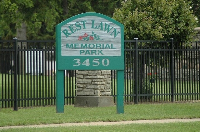
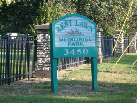
Rest Lawn Memorial Park is located at 3450 Eastern Avenue SE Grand Rapids, Kent County ,Michigan , 49508USA.
-
Rest Lawn Memorial Park cemetery's updated grave count on graveviews.com?
62 memorials
-
Where are the coordinates of the Rest Lawn Memorial Park?
Latitude: 42.9007988
Longitude: -85.6438980
Nearby Cemetories:
1. Oak Grove Cemetery
Grand Rapids, Kent County, USA
Coordinate: 42.9136009, -85.6314011
2. Maple Grove Cemetery
Kentwood, Kent County, USA
Coordinate: 42.9033300, -85.6203400
3. Woodlawn Cemetery
Grand Rapids, Kent County, USA
Coordinate: 42.9160995, -85.6303024
4. Garfield Park Cemetery
Grand Rapids, Kent County, USA
Coordinate: 42.9221992, -85.6307983
5. Resurrection Cemetery
Wyoming, Kent County, USA
Coordinate: 42.8905983, -85.6819000
6. Pine Hill Cemetery
Kentwood, Kent County, USA
Coordinate: 42.8675003, -85.6363983
7. Oakhill Cemetery
Grand Rapids, Kent County, USA
Coordinate: 42.9411011, -85.6517029
8. Grace Episcopal Church Columbarium
Grand Rapids, Kent County, USA
Coordinate: 42.9413390, -85.6242730
9. Holy Trinity Columbarium
Wyoming, Kent County, USA
Coordinate: 42.8669010, -85.6847490
10. Saint Andrews Catholic Cemetery
Grand Rapids, Kent County, USA
Coordinate: 42.9463997, -85.6567001
11. Blain Cemetery
Cutlerville, Kent County, USA
Coordinate: 42.8414001, -85.6335983
12. Westminster Presbyterian Church Columbarium
Grand Rapids, Kent County, USA
Coordinate: 42.9619070, -85.6646760
13. Fulton Street Cemetery
Grand Rapids, Kent County, USA
Coordinate: 42.9639200, -85.6486400
14. Central Reformed Church Crypt
Grand Rapids, Kent County, USA
Coordinate: 42.9634410, -85.6563430
15. First United Methodist Church Columbarium
Grand Rapids, Kent County, USA
Coordinate: 42.9634200, -85.6633300
16. Gerald R Ford Museum
Grand Rapids, Kent County, USA
Coordinate: 42.9668140, -85.6771000
17. Chapel Hill Memorial Gardens
Cascade Township, Kent County, USA
Coordinate: 42.9089012, -85.5464020
18. Kent Memorial Gardens
Byron Center, Kent County, USA
Coordinate: 42.8356018, -85.6883011
19. Martin Cemetery
Grand Rapids, Kent County, USA
Coordinate: 42.9458008, -85.5607986
20. Graceland Memorial Park and Mausoleum
Grand Rapids, Kent County, USA
Coordinate: 42.9481010, -85.5618973
21. Dutton Cemetery
Dutton, Kent County, USA
Coordinate: 42.8366670, -85.5841670
22. Grandville Cemetery
Grandville, Kent County, USA
Coordinate: 42.9043999, -85.7514038
23. Teeple Cemetery (Defunct)
Cascade Township, Kent County, USA
Coordinate: 42.9134300, -85.5357790
24. Sleepy Hollow Pet Cemetery and Crematory
Byron Center, Kent County, USA
Coordinate: 42.8477040, -85.7329940

