| Memorials | : | 2825 |
| Location | : | Greenville, Greenville County, USA |
| Website | : | www.greenvillesc.gov/Culture/history/cemeteries/CemeteryViewer.aspx |
| Coordinate | : | 34.8566704, -82.3861389 |
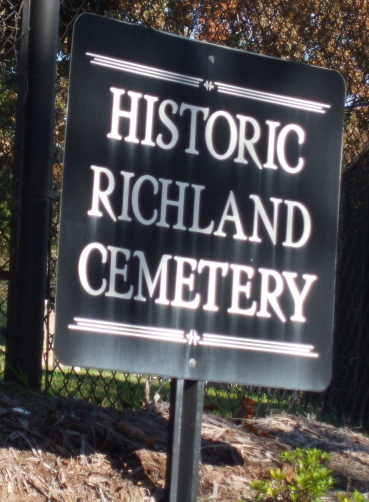
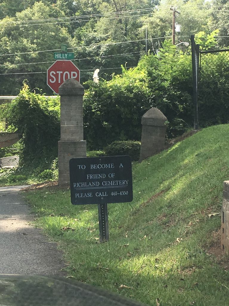
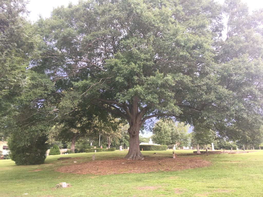
| Description | : | Located downtown, Richland Cemetery was one of the first African American cemeteries in the City of Greenville. It was named after Richland Creek, a branch of the Reedy River. The property was deeded to the City of Greenville by Misses Elizabeth and Emmala Jones, who were matrons at the Anne Cigar Company. They deeded over to the City two lots located at Spartanburg Road and Richland Creek and Cemetery/Tanyard properties. Today, the cemetery is approximately six acres in size and includes over 1400 documented grave sites. The graves date from the late 1800s up to the present. |
frequently asked questions (FAQ):
-
Where is Richland Cemetery?
Richland Cemetery is located at Fern Street and Oakwood Avenue Greenville, Greenville County ,South Carolina , 29601USA.
-
Richland Cemetery cemetery's updated grave count on graveviews.com?
133 memorials
-
Where are the coordinates of the Richland Cemetery?
Latitude: 34.8566704
Longitude: -82.3861389
Nearby Cemetories:
1. Springwood Cemetery
Greenville, Greenville County, USA
Coordinate: 34.8546982, -82.3949966
2. Fourth Presbyterian Church Memorial Garden
Greenville, Greenville County, USA
Coordinate: 34.8488170, -82.3916540
3. Christ Episcopal Church Cemetery
Greenville, Greenville County, USA
Coordinate: 34.8506012, -82.3944016
4. Buncombe Street United Meth. Church Columbarium
Greenville, Greenville County, USA
Coordinate: 34.8537190, -82.4002620
5. Saint Marys Catholic Church Columbarium
Greenville, Greenville County, USA
Coordinate: 34.8524170, -82.4033630
6. Lincoln Cemetery
Greenville, Greenville County, USA
Coordinate: 34.8744888, -82.3963699
7. Green and Stokes Family Burial Ground
Nicholtown, Greenville County, USA
Coordinate: 34.8375750, -82.3782620
8. Brutontown Society Ground Cemetery
Greenville, Greenville County, USA
Coordinate: 34.8751370, -82.3999750
9. Walcott Family Cemetery
Greenville, Greenville County, USA
Coordinate: 34.8760840, -82.4005480
10. Poe Mill Cemetery
Greenville, Greenville County, USA
Coordinate: 34.8714070, -82.4078950
11. Saint Andrews Episcopal Columbarium
Greenville, Greenville County, USA
Coordinate: 34.8432860, -82.4098740
12. First Baptist Church Remembrance Garden Columbariu
Greenville, Greenville County, USA
Coordinate: 34.8330040, -82.3799730
13. White Oak Baptist Church Cemetery
Greenville, Greenville County, USA
Coordinate: 34.8759499, -82.3653946
14. Bob Jones University Campus Grounds
Greenville, Greenville County, USA
Coordinate: 34.8747215, -82.3638077
15. Gethsemane Baptist Church Cemetery
Greenville, Greenville County, USA
Coordinate: 34.8823700, -82.3908310
16. McCarter Presbyterian Church Cemetery
Greenville, Greenville County, USA
Coordinate: 34.8683968, -82.3560028
17. Raines Family Cemetery
Greenville, Greenville County, USA
Coordinate: 34.8862114, -82.3902054
18. Old Earle Cemetery
Greenville, Greenville County, USA
Coordinate: 34.8748817, -82.4150925
19. American Spinning Cemetery
Greenville, Greenville County, USA
Coordinate: 34.8815308, -82.4093933
20. Woodlawn Memorial Park
Greenville, Greenville County, USA
Coordinate: 34.8801689, -82.3601303
21. Monastery of Saint Clare Cemetery
Greenville, Greenville County, USA
Coordinate: 34.8872910, -82.3692322
22. Lowndes Hill Baptist Church Cemetery
Greenville, Greenville County, USA
Coordinate: 34.8559761, -82.3442154
23. Westminster Columbarium and Memorial Gardens
Greenville, Greenville County, USA
Coordinate: 34.8214989, -82.3907013
24. Laurel Creek Baptist Church Cemetery
Greenville, Greenville County, USA
Coordinate: 34.8400116, -82.3457489


