
| Memorials | : | 1 |
| Location | : | Drouin South, Baw Baw Shire, Australia |
| Coordinate | : | -38.2074990, 145.7508310 |
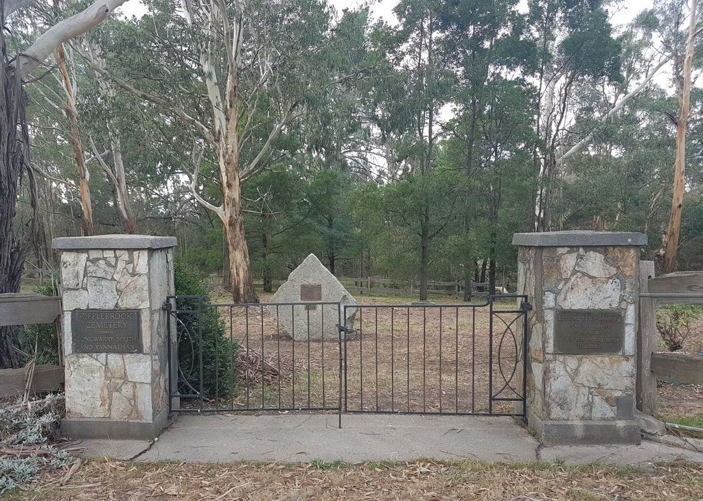
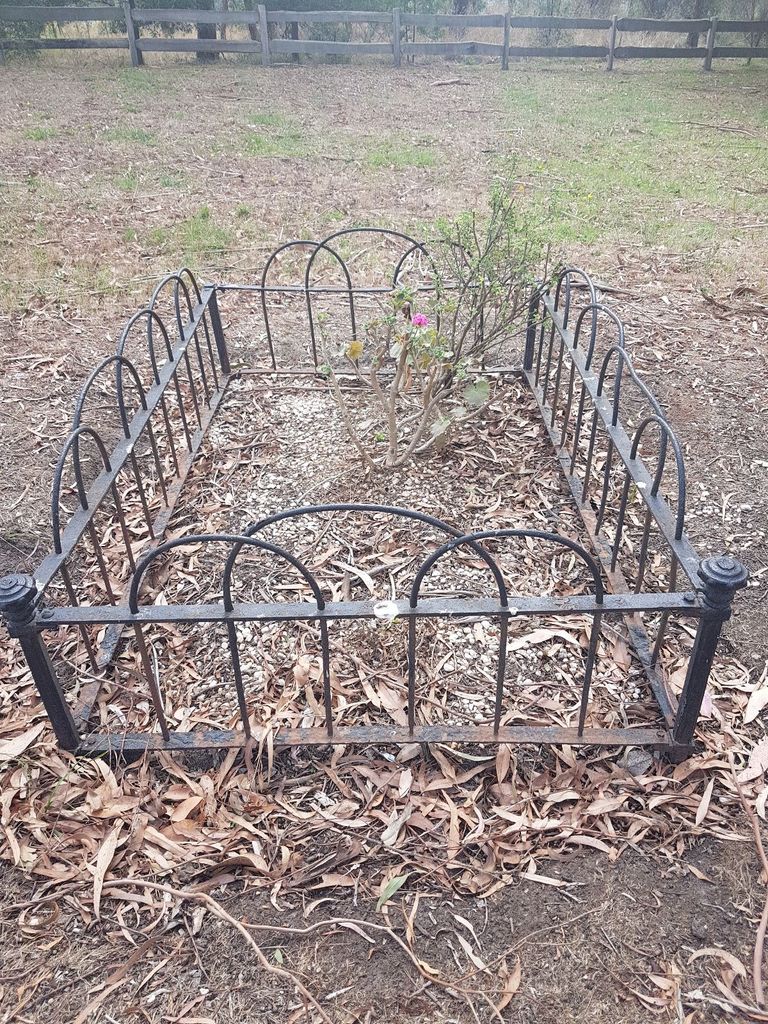
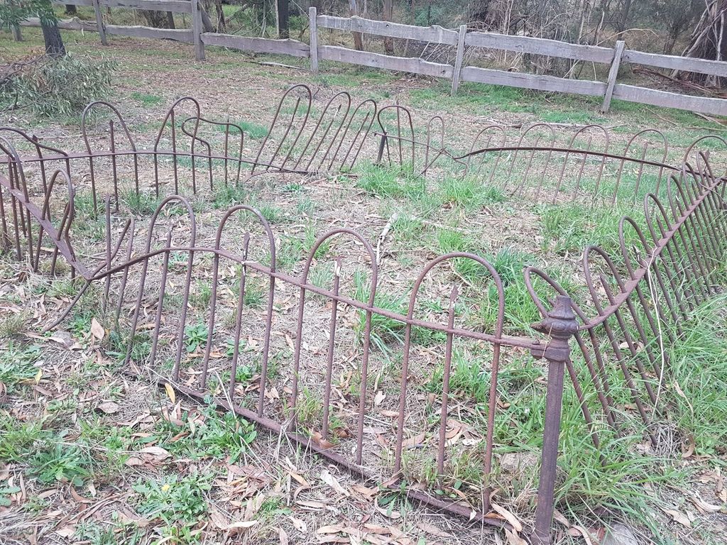
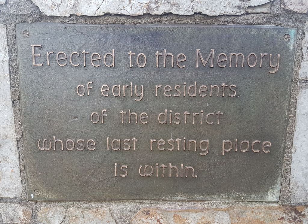
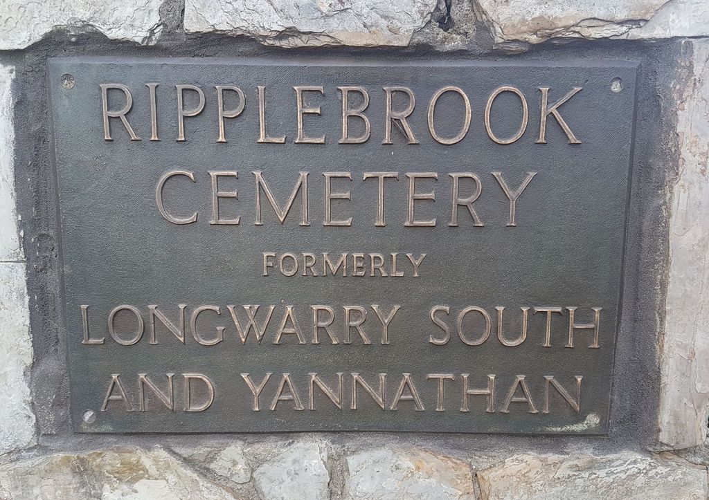
| Description | : | The Pioneer Memorial Gates commemorate early residents who are buried in the cemetery. Land was reserved as a cemetery on the banks of Heifer Creek at the junction of the Westernport and North Yannathan roads in 1879. Originally known as the Yannathan and Longwarry South Cemetery, it later became known as the Ripplebrook Cemetery. The first internment, an infant of John George, was made in 1879 and the last, an infant of George Gray, was made in 1914. According to records, 34 burials were made of which only 8 were adults, the rest young children most of whom were under the... Read More |
frequently asked questions (FAQ):
-
Where is Ripplebrook Cemetery?
Ripplebrook Cemetery is located at 687 North Yannathan Road, Ripplebrook, Victoria Drouin South, Baw Baw Shire ,Victoria , 3818Australia.
-
Ripplebrook Cemetery cemetery's updated grave count on graveviews.com?
1 memorials
-
Where are the coordinates of the Ripplebrook Cemetery?
Latitude: -38.2074990
Longitude: 145.7508310
Nearby Cemetories:
1. Drouin Cemetery
Drouin, Baw Baw Shire, Australia
Coordinate: -38.1230656, 145.8318535
2. Bunyip Cemetery
Bunyip, Cardinia Shire, Australia
Coordinate: -38.0838160, 145.7169040
3. Gulwarra Heights Cemetery
Warragul, Baw Baw Shire, Australia
Coordinate: -38.1517400, 145.8971990
4. Drouin West Cemetery
Drouin West, Baw Baw Shire, Australia
Coordinate: -38.0923773, 145.8431423
5. Poowong Cemetery
Poowong, South Gippsland Shire, Australia
Coordinate: -38.3461002, 145.7615830
6. Lang Lang Cemetery
Lang Lang, Cardinia Shire, Australia
Coordinate: -38.2779980, 145.5831970
7. Nyora Cemetery
Nyora, South Gippsland Shire, Australia
Coordinate: -38.3406970, 145.6637270
8. Warragul Cemetery
Warragul, Baw Baw Shire, Australia
Coordinate: -38.1528830, 145.9333490
9. Maryknoll Cemetery
Maryknoll, Cardinia Shire, Australia
Coordinate: -38.0279016, 145.6027254
10. Korumburra Cemetery
Korumburra, South Gippsland Shire, Australia
Coordinate: -38.4303000, 145.8482100
11. Yarragon Cemetery
Yarragon, Baw Baw Shire, Australia
Coordinate: -38.2013220, 146.0547570
12. Coal Creek Community Park and Museum
Korumburra, South Gippsland Shire, Australia
Coordinate: -38.4438019, 145.8312988
13. Grantville Cemetery
Grantville, Bass Coast Shire, Australia
Coordinate: -38.3947460, 145.5398240
14. Pakenham Cemetery
Pakenham, Cardinia Shire, Australia
Coordinate: -38.0561540, 145.4513150
15. Tooradin Christ Church Memorial Garden
Tooradin, Casey City, Australia
Coordinate: -38.2109390, 145.3781320
16. Gembrook Cemetery
Gembrook, Cardinia Shire, Australia
Coordinate: -37.9568643, 145.5542234
17. Neerim Cemetery
Neerim, Baw Baw Shire, Australia
Coordinate: -37.9573912, 145.9553572
18. Allambee East Cemetery
Allambee South, South Gippsland Shire, Australia
Coordinate: -38.3594710, 146.0860860
19. Outtrim Cemetery
Outtrim, South Gippsland Shire, Australia
Coordinate: -38.5122130, 145.7768440
20. Corinella Cemetery
Corinella, Bass Coast Shire, Australia
Coordinate: -38.4361780, 145.4847240
21. Leongatha Cemetery
Leongatha, South Gippsland Shire, Australia
Coordinate: -38.4831187, 145.9380932
22. Saint Mary's Anglican Church
Trafalgar, Baw Baw Shire, Australia
Coordinate: -38.2112176, 146.1548115
23. Childers and Thorpdale Cemetery
Thorpdale, Baw Baw Shire, Australia
Coordinate: -38.3060020, 146.1422990
24. Beenak Cemetery
Beenak, Yarra Ranges Shire, Australia
Coordinate: -37.8894180, 145.6445400